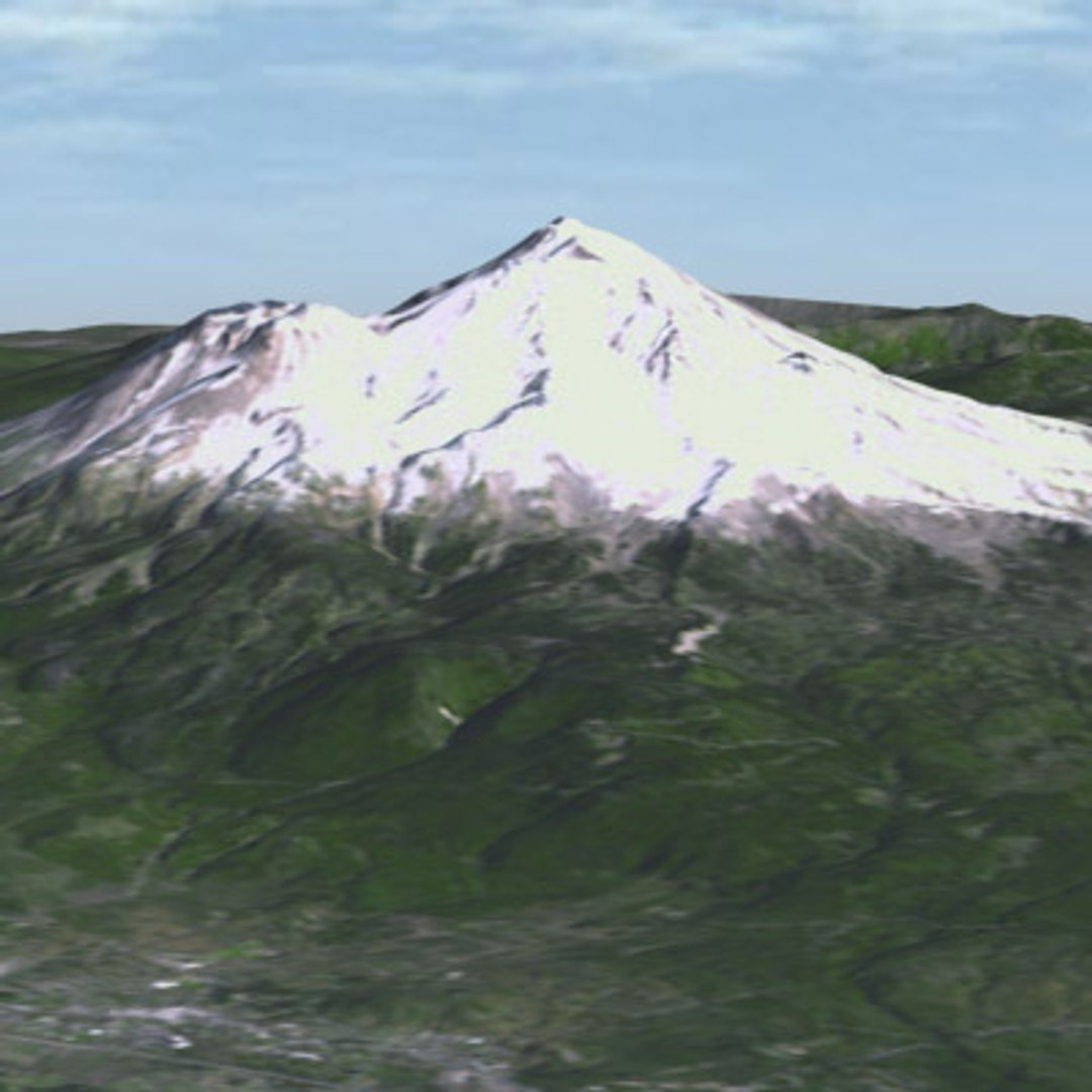
Mount Shasta is located in the Cascade Range in northern California about 65 kilometers (40 miles) south of the Oregon-California border and about midway between the Pacific Coast and the Nevada border. One of the largest and highest of the Cascade volcanoes, snowclad Mount Shasta is near the southern end of the range that terminates near Lassen Peak. Mount Shasta is a massive compound stratovolcano composed of overlapping cones centered at four or more main vents; it was constructed during a period of more than 100,000 years. Each of the cone-building periods produced pyroxene-andesite lava flows, block-and-ash flows, and mudflows originating mainly at the central vents. Construction of each cone was followed by eruption of domes and pyroclastic flows of more silicic rock at central vents, and of domes, cinder cones, and lava flows at vents on the flanks of the cones.
Two of the main eruptive centers at Mount Shasta, the Shastina and Hotlum cones were constructed during Holocene time, which includes about the last 10,000 years. Holocene eruptions also occurred at Black Butte, a group of overlapping dacite domes about 13 kilometers (8 miles) west of Mount Shasta.
The communities of Weed, Mount Shasta, and McCloud are situated on the broad apron at the base of the volcano. A fourth nearby community Dunsmuir is located in the canyon of the Sacramento River about 23 kilometers (15 miles) south of Mount Shasta.
README.TXT
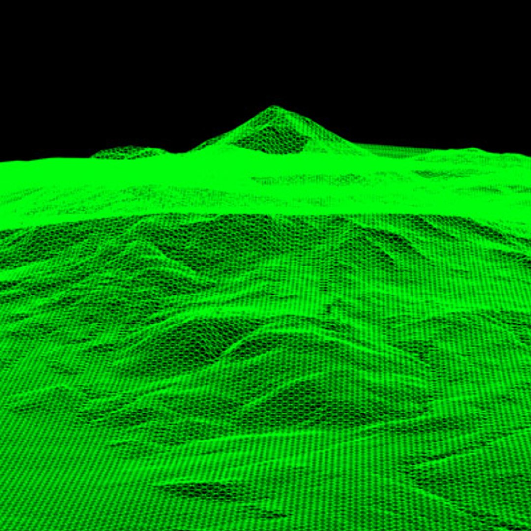
This highly flexible terrain model includes a variable resolution elevation object, based on 10 Meter Digital Elevation Model data and three detailed textures.
You can adjust the grid density of the elevation object in 3DS Max to suit your needs. We recommend no denser a grid than 10 meter, as further subdivision won"t yield better topographical fidelity. When you load the file initially, the grid is set to 50 meters, to speed loading on slower machines. Select the TerrainModel Object, then the Elevation in the modifier stack and adjust the grid density to suit your needs. The .3DS and .DXF formats do not support the elevation object, and so are saved with a 10 meter grid.
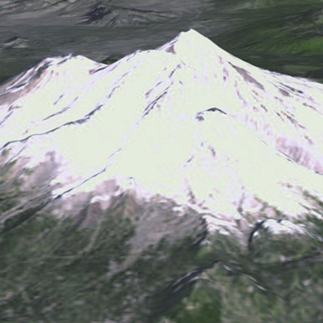
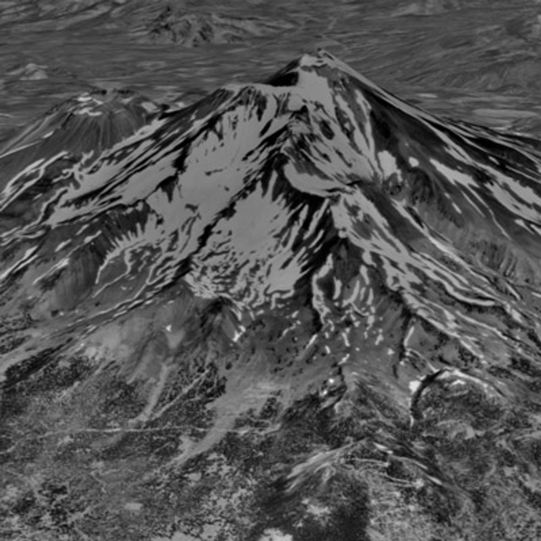
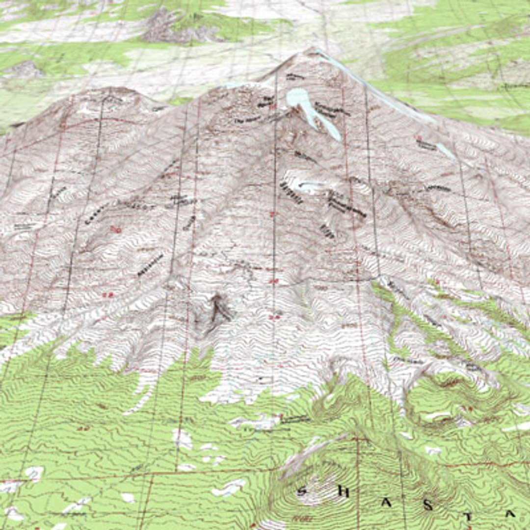
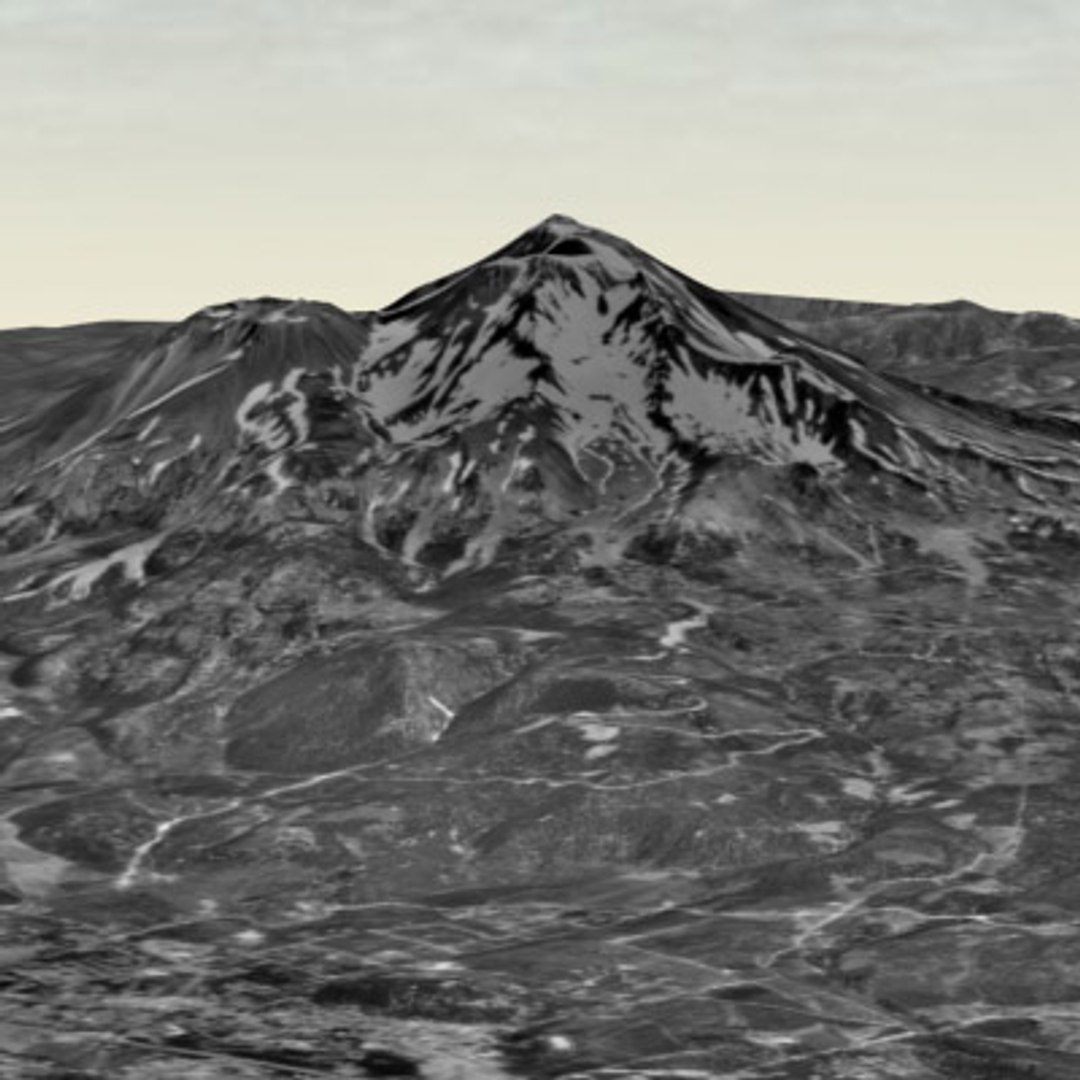
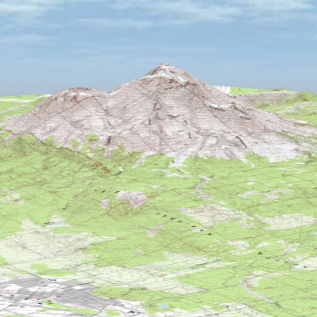
The textures are USGS Topographical, USGS 1 Meter Greyscale, and NASA Landsat 7 Visible.
Be sure to download the textures you need in the attached file section. They are packaged separately to keep the download sizes reasonable.
The complete package includes:
In RELEASE.ZIP:
MountShasta_R5.max (or .3ds, .DXF)
SunsetSky.jpg
BlueSky.jpg
GreySky.jpg
Shasta1MeterGrey_LowRes.jpg
ShastaLandSat7Visible_LowRes.jpg
ShastaUSGSTopo_LowRes.jpg