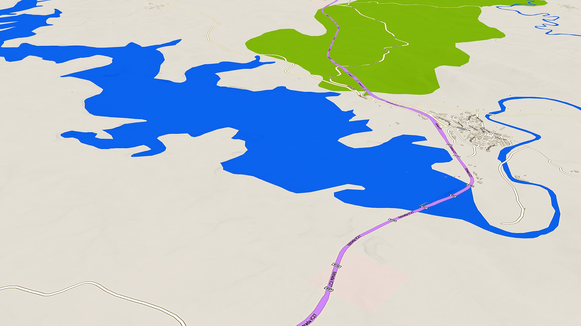
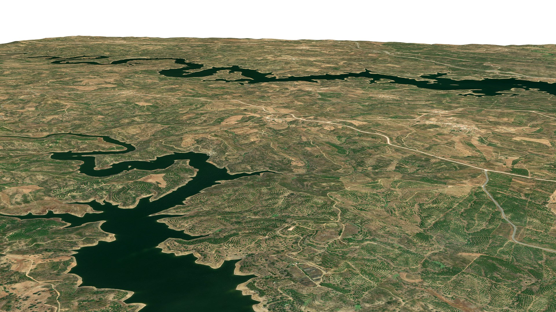
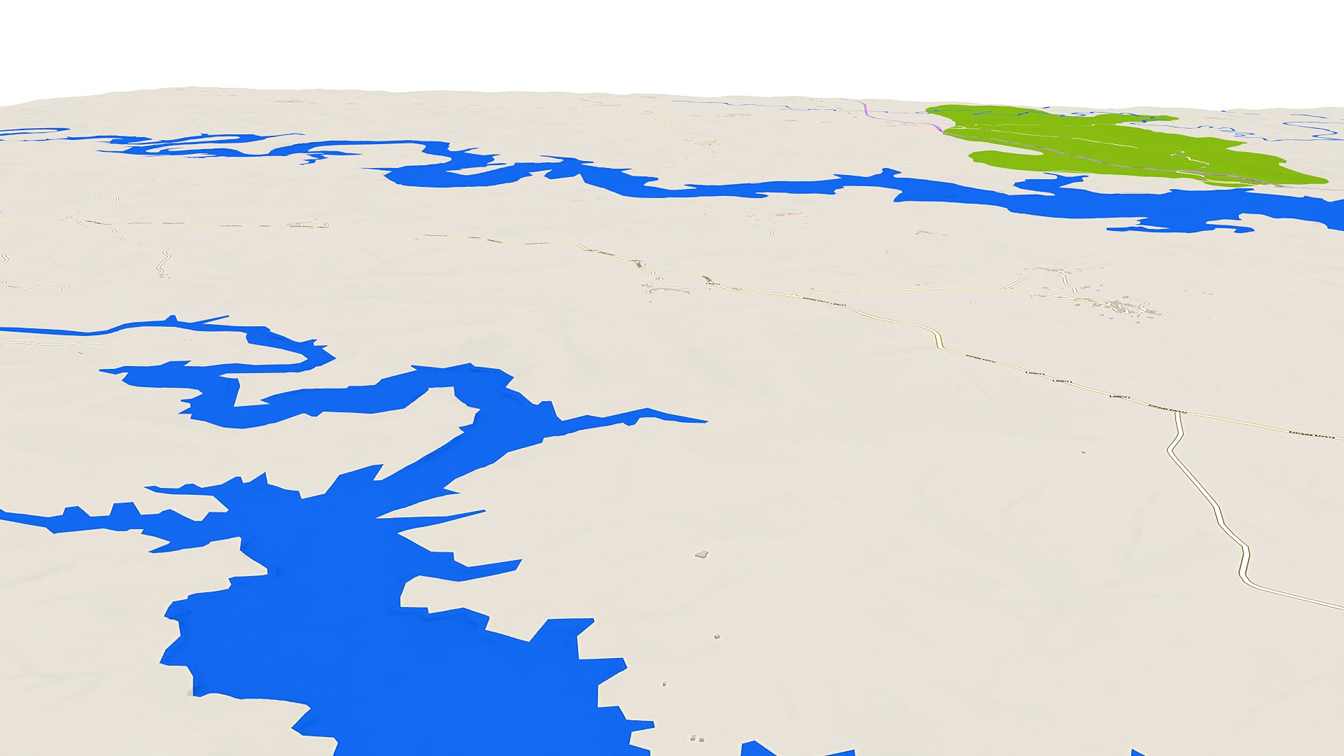
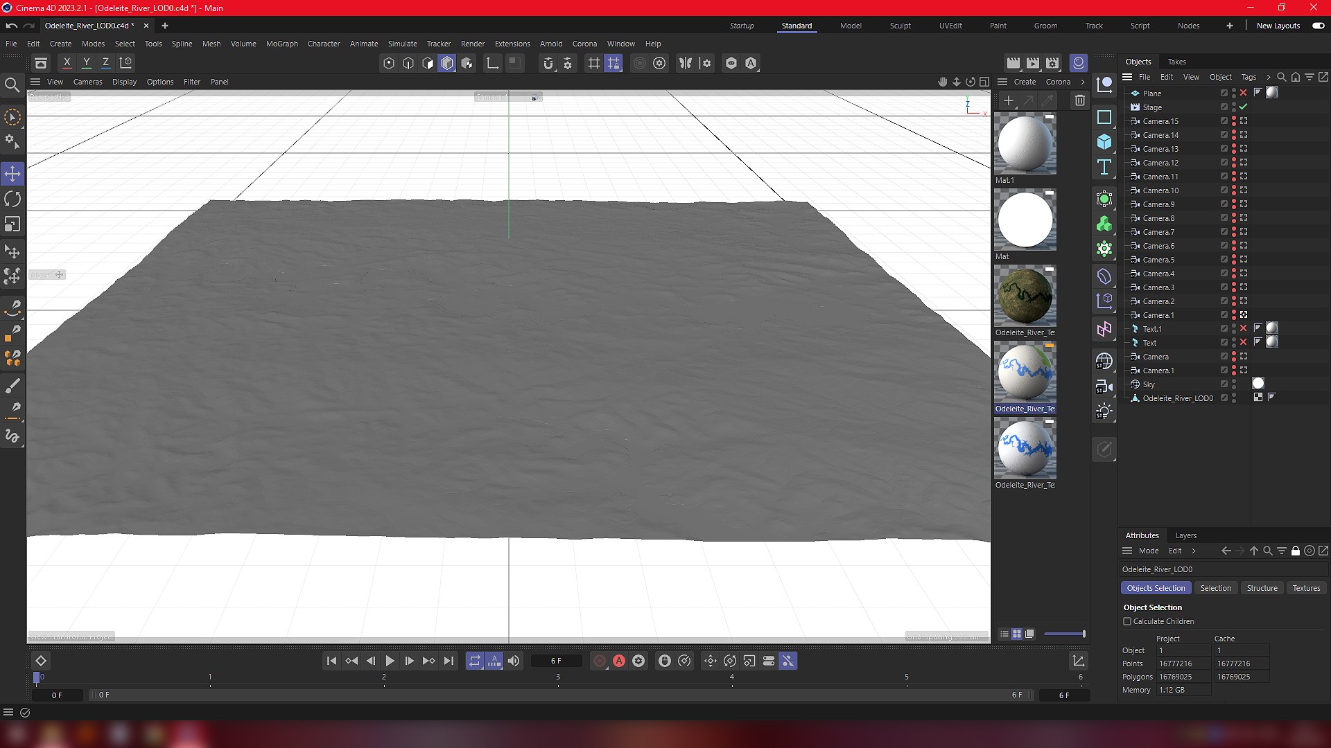
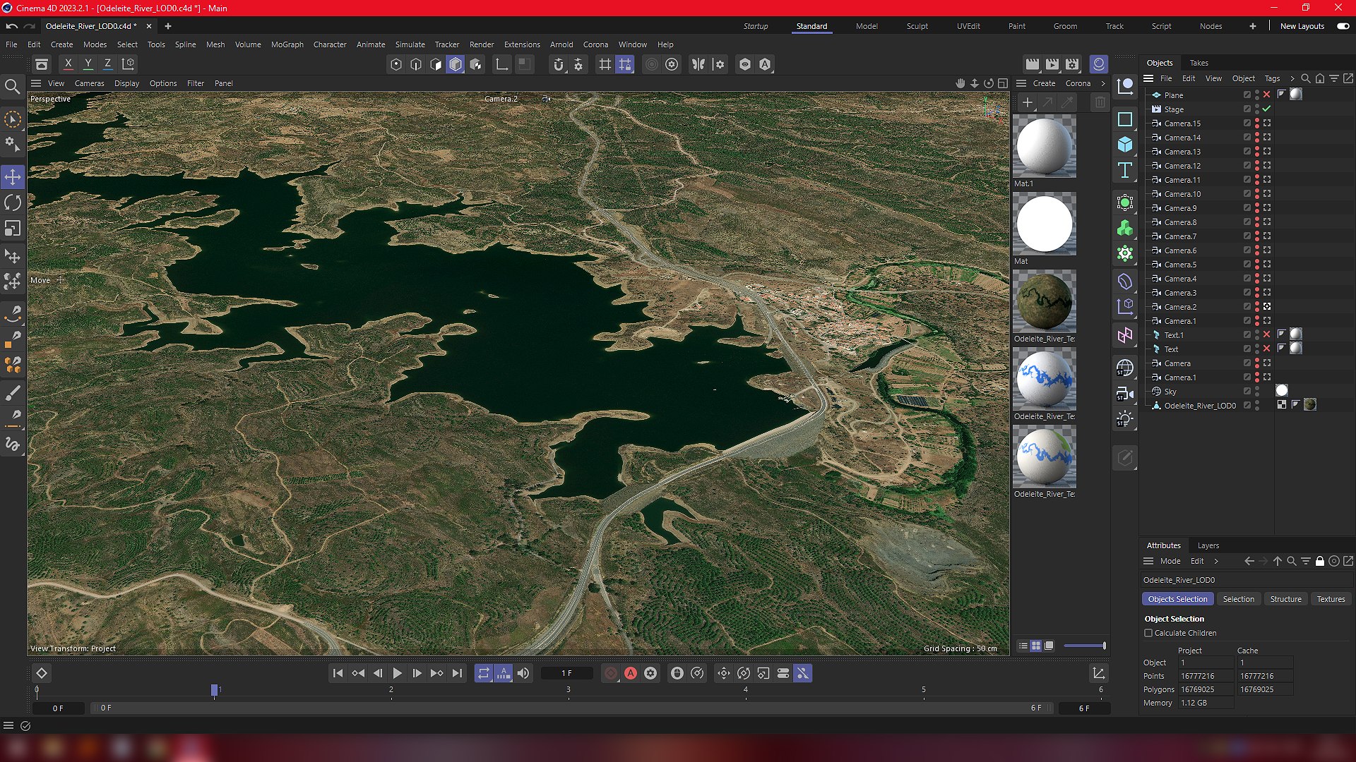
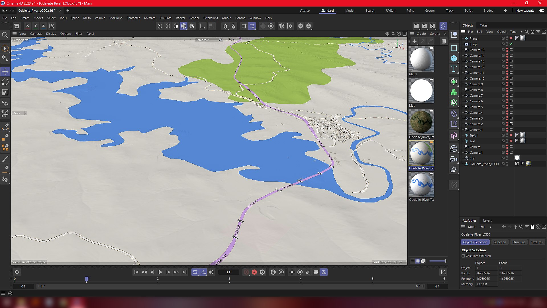
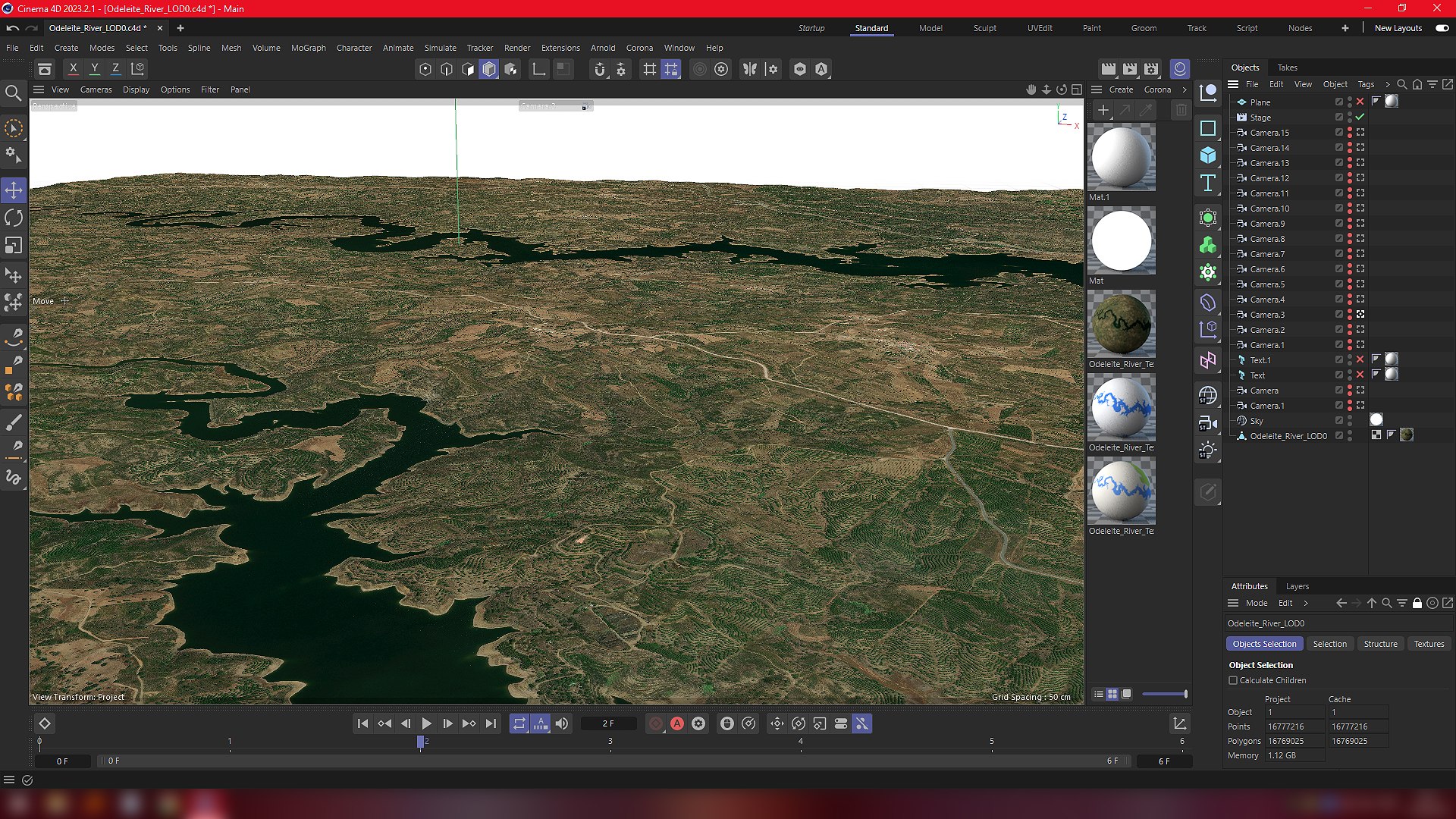
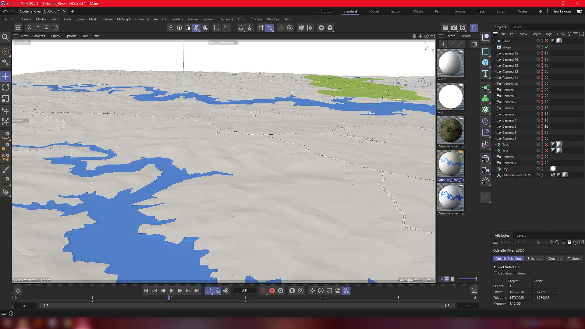
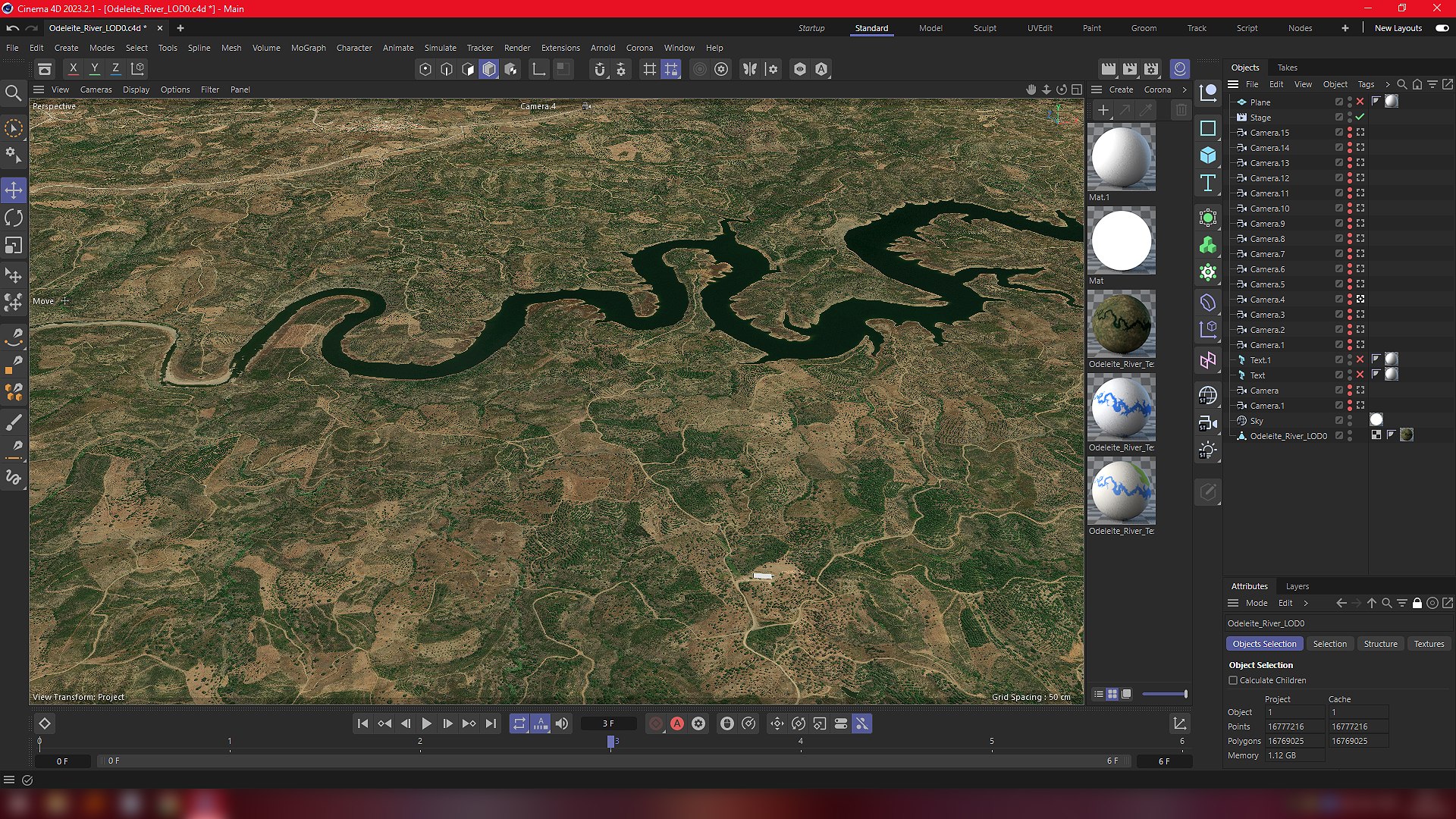
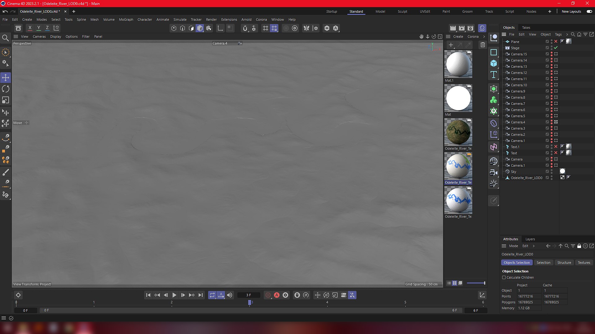
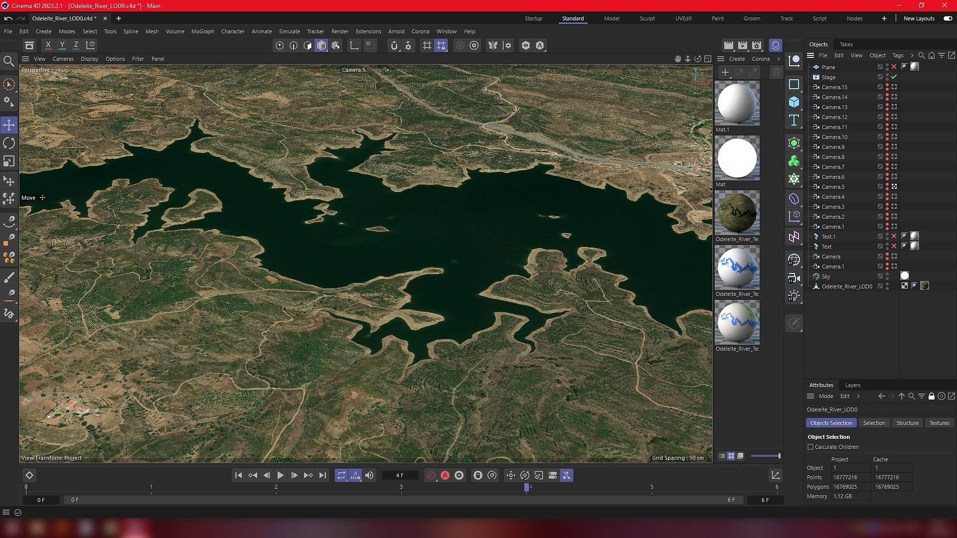
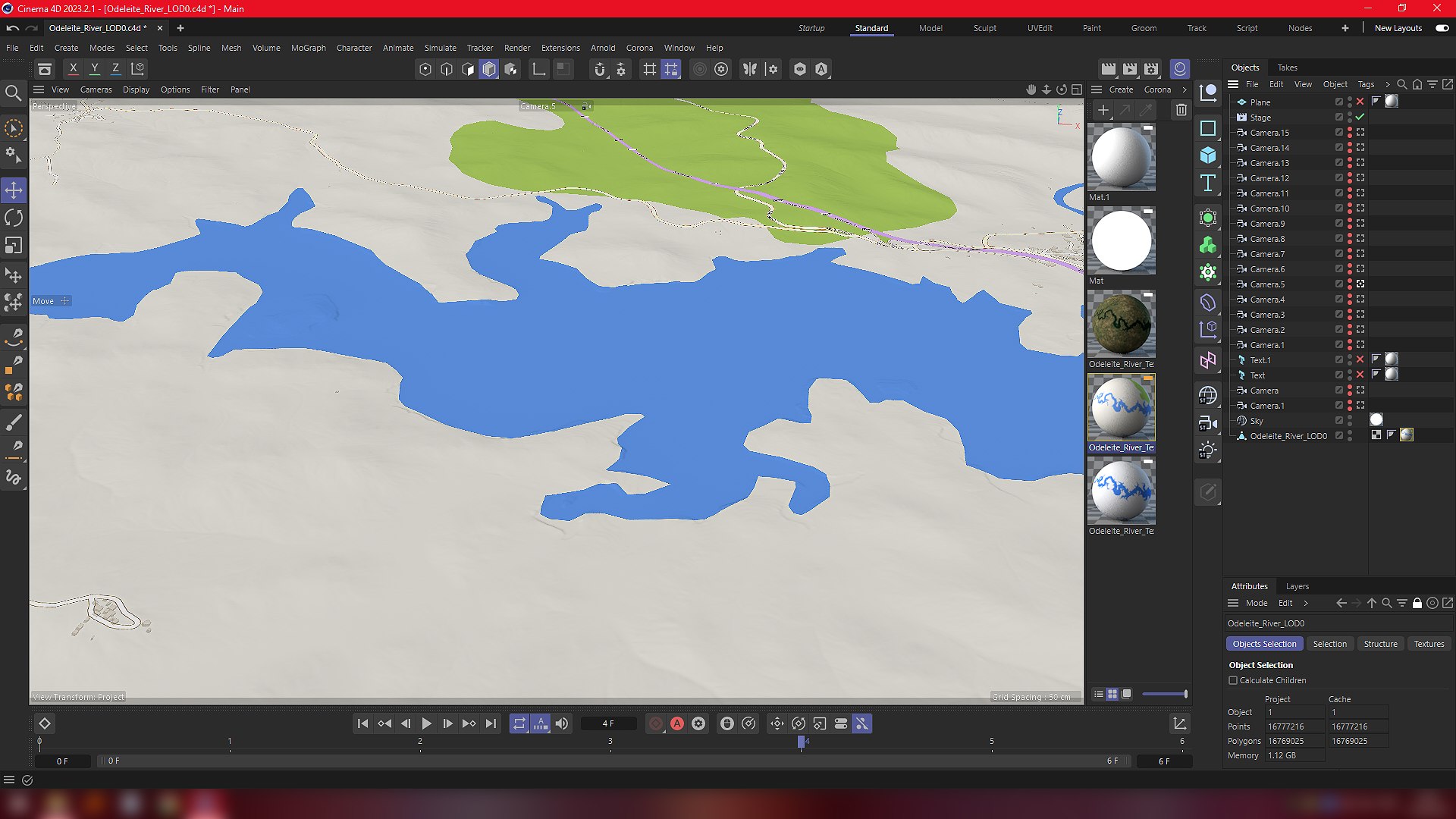
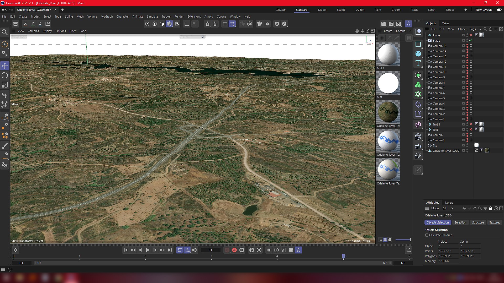
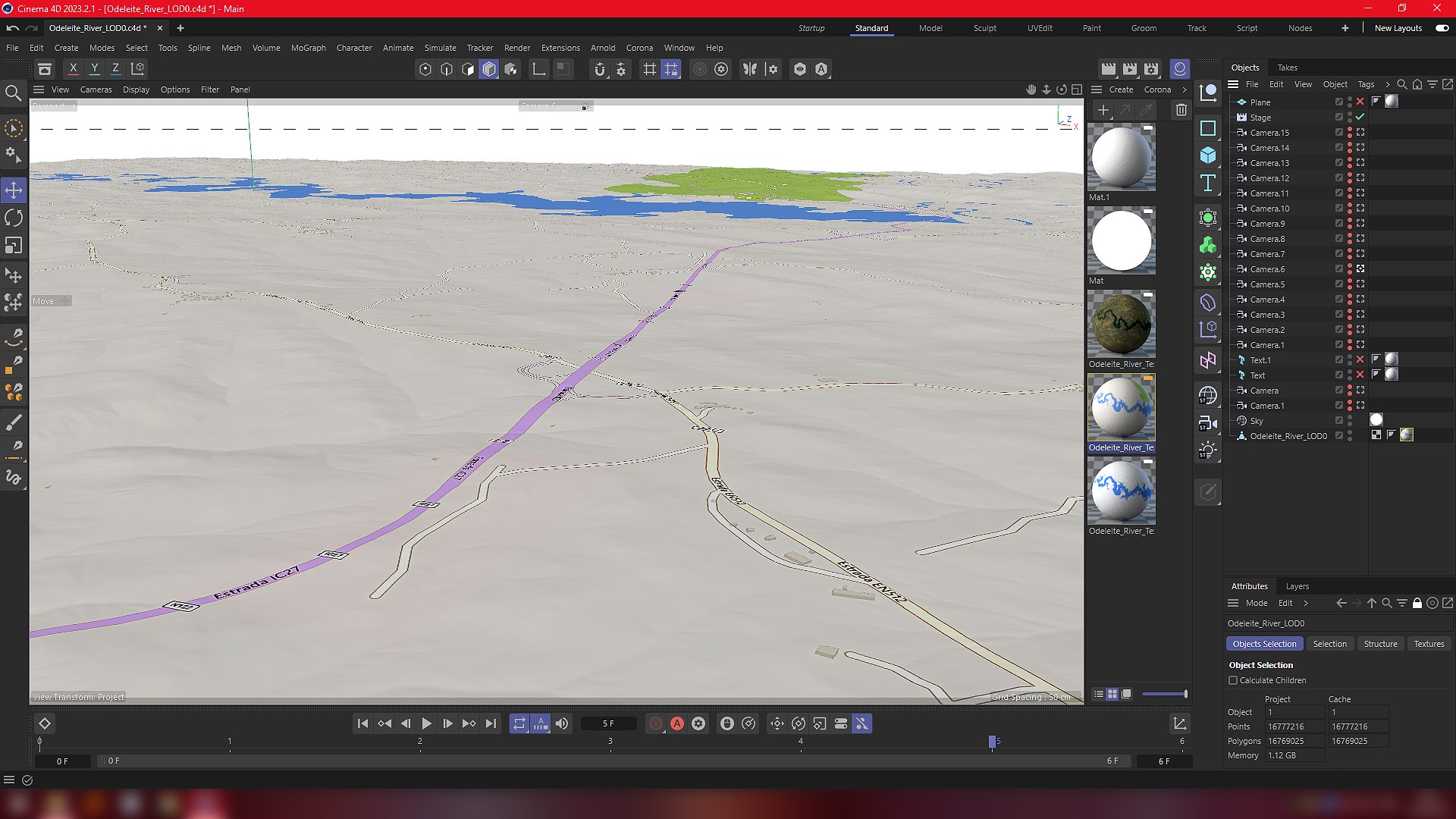
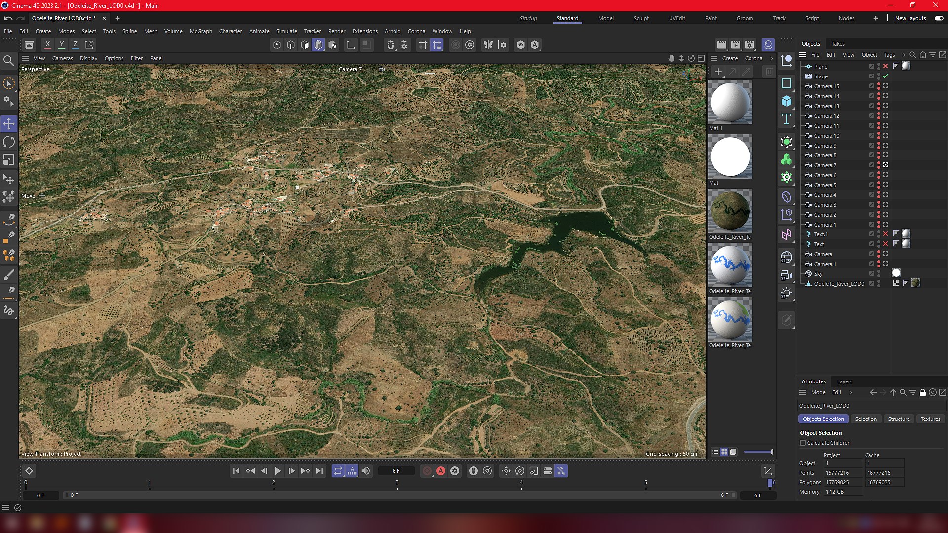
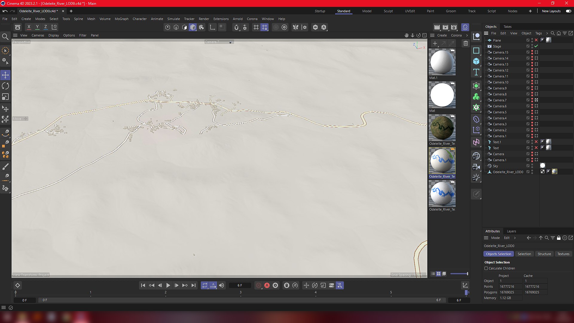
Real-World place,high quality 3D model-Odeleite River "The Blue Dragon River", Portugal.
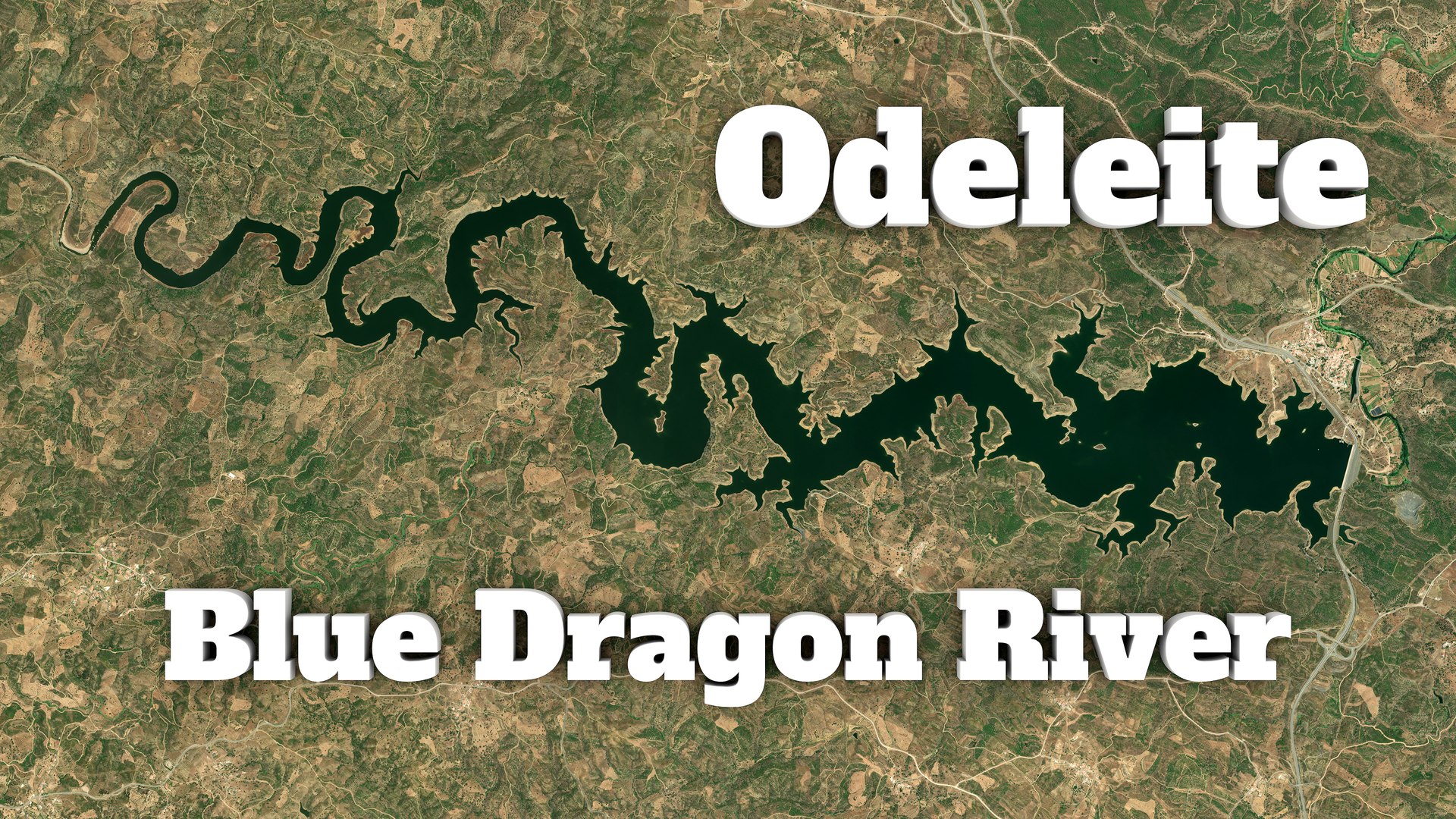
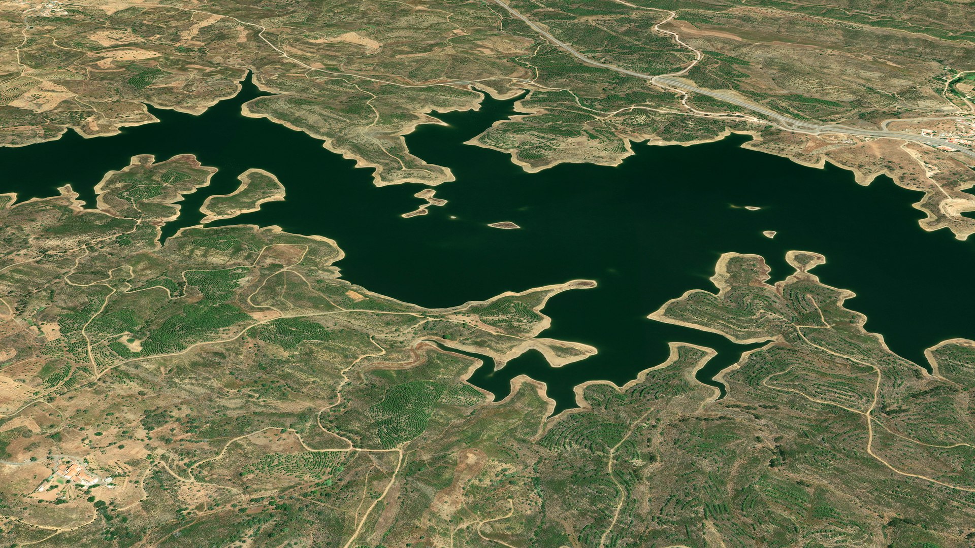
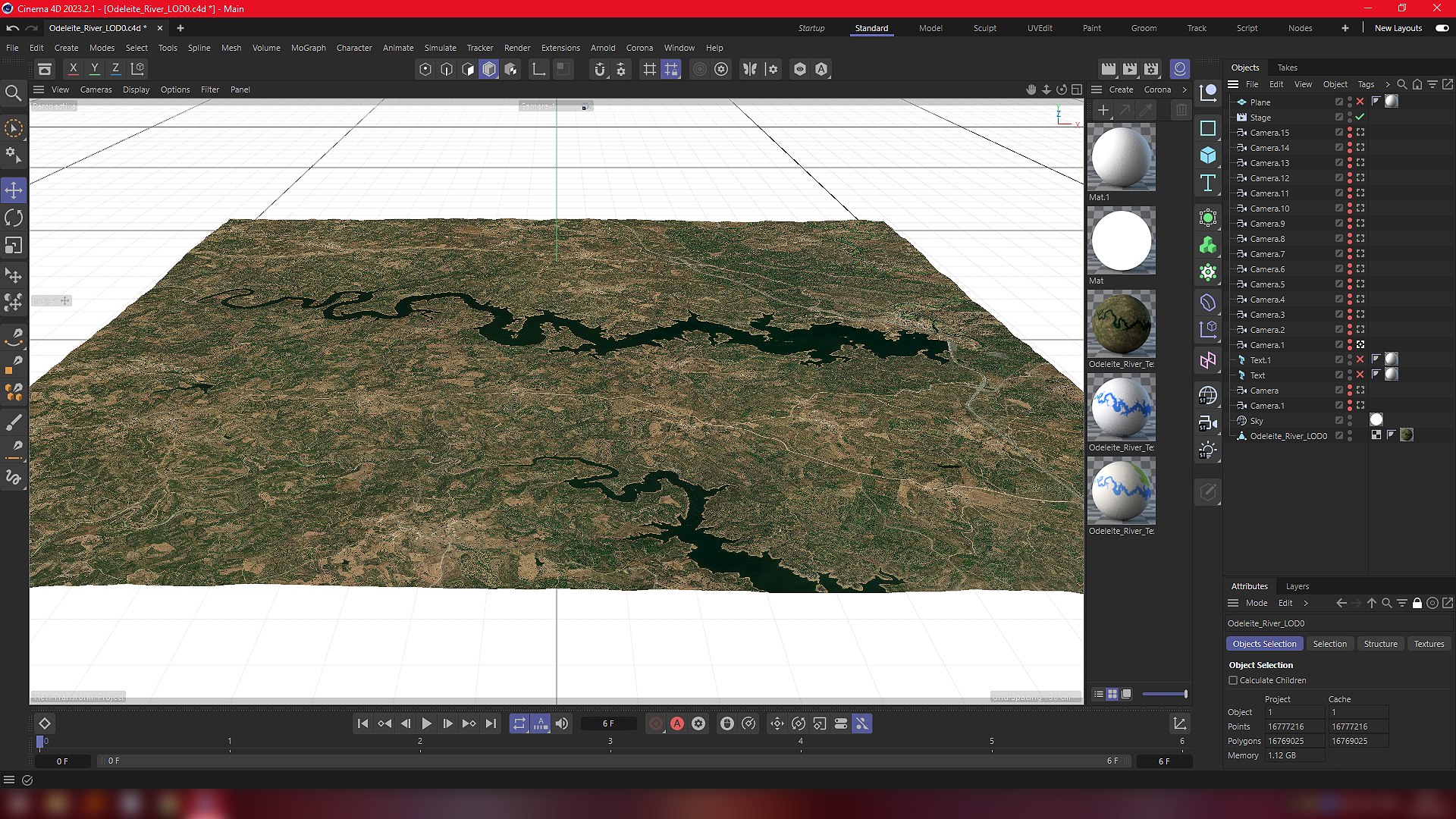
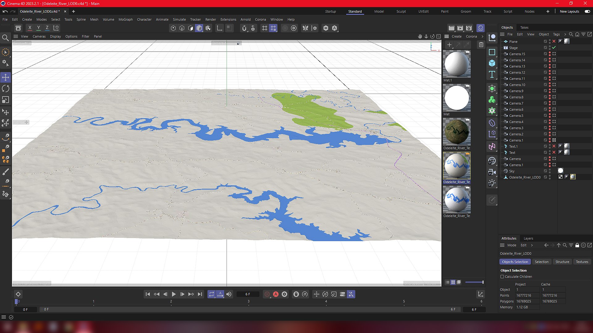
Odeleite is a river located in the municipality of Castro Marim, Algarve, in Portugal. It originates in the mountains of the Serra do Caldeirao and flows through the municipalities Sao Bras de Alportel, Tavira, Alcoutim, Castro Marim in the district of Faro. Also, there is a water reservoir of the same name because of the dam created on the path of the river. Odeleite is a right tributary of the River Guadiana.
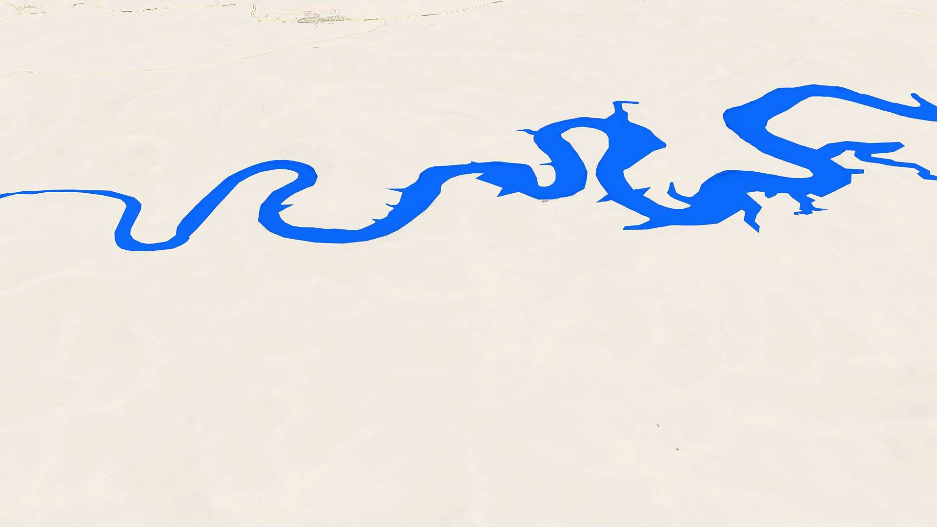
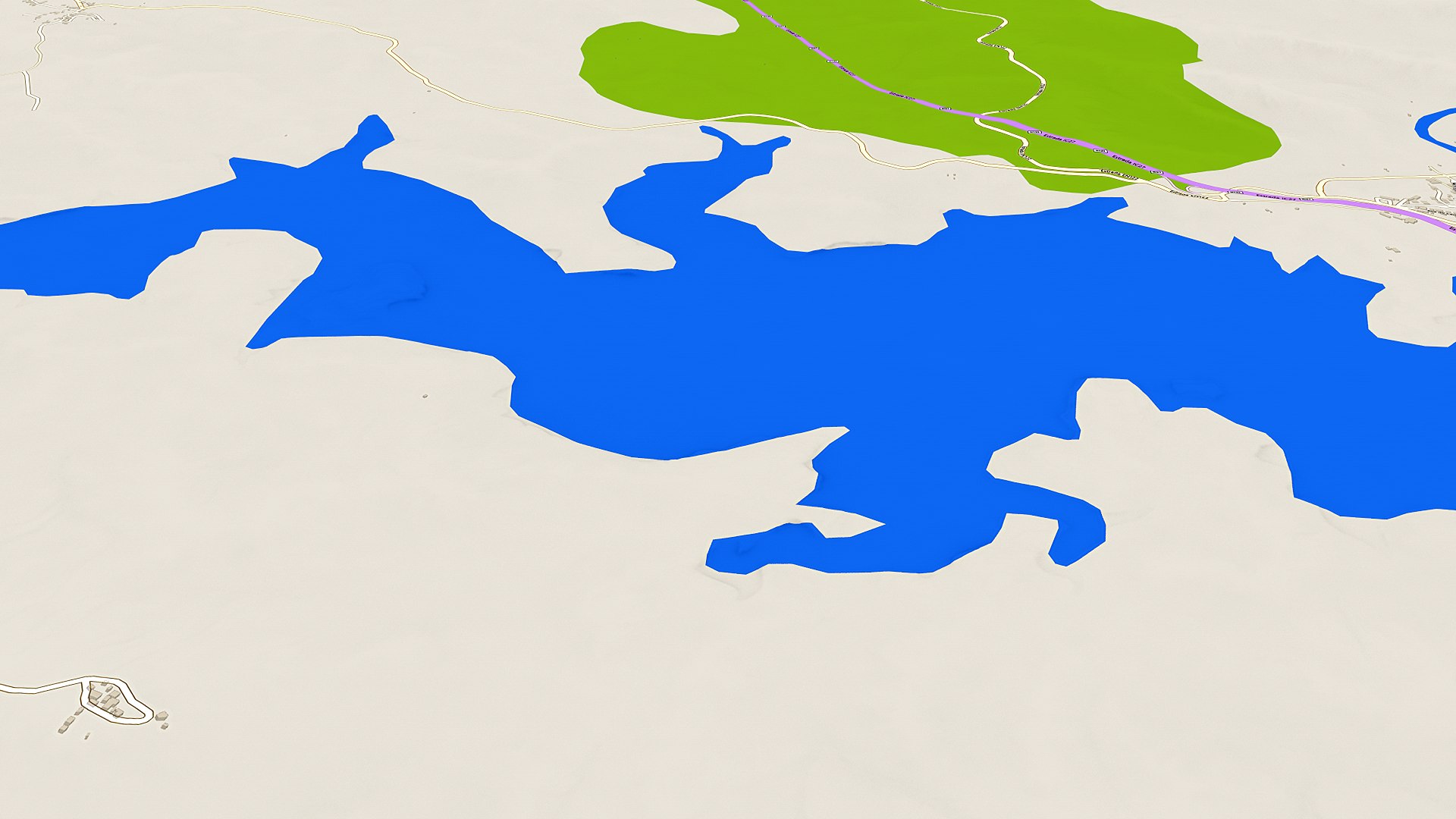
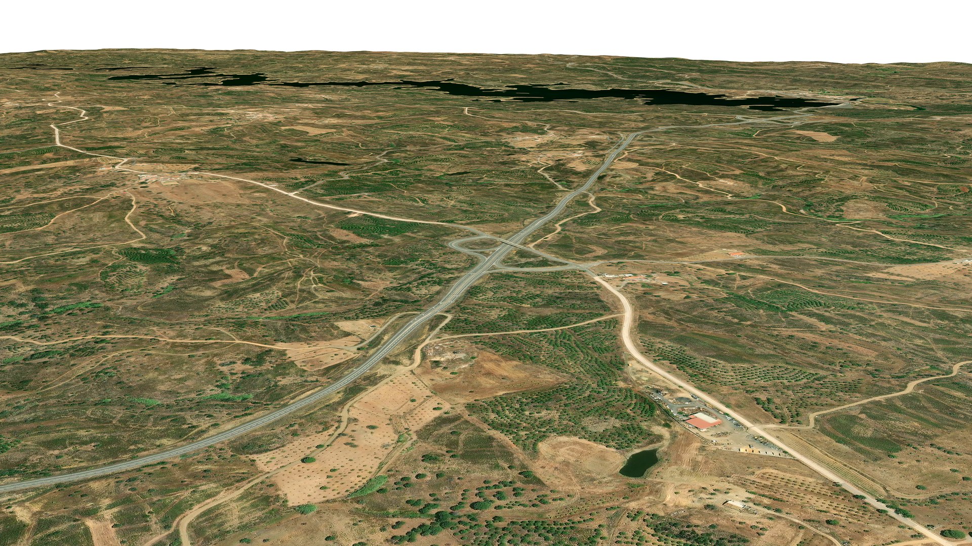
The river is also known as "The Blue Dragon River" because of its dark blue color and unusual curvy shape.
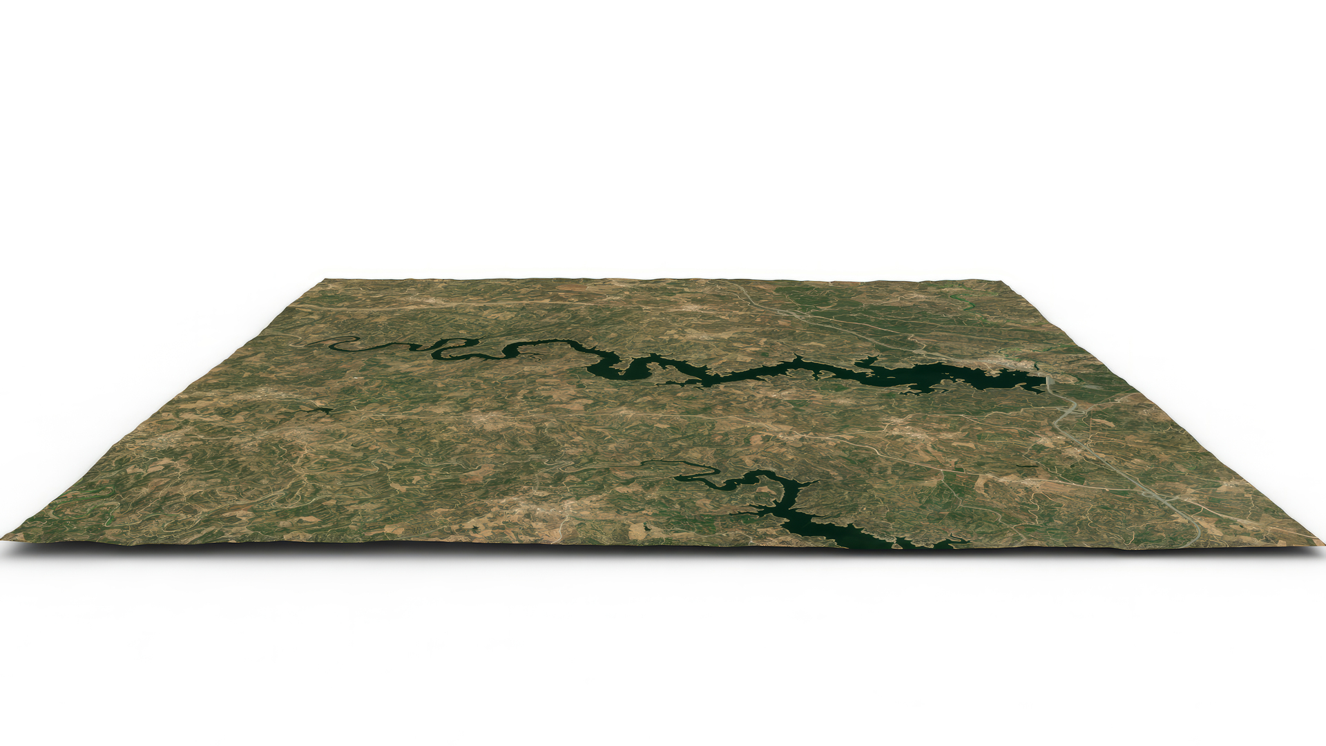
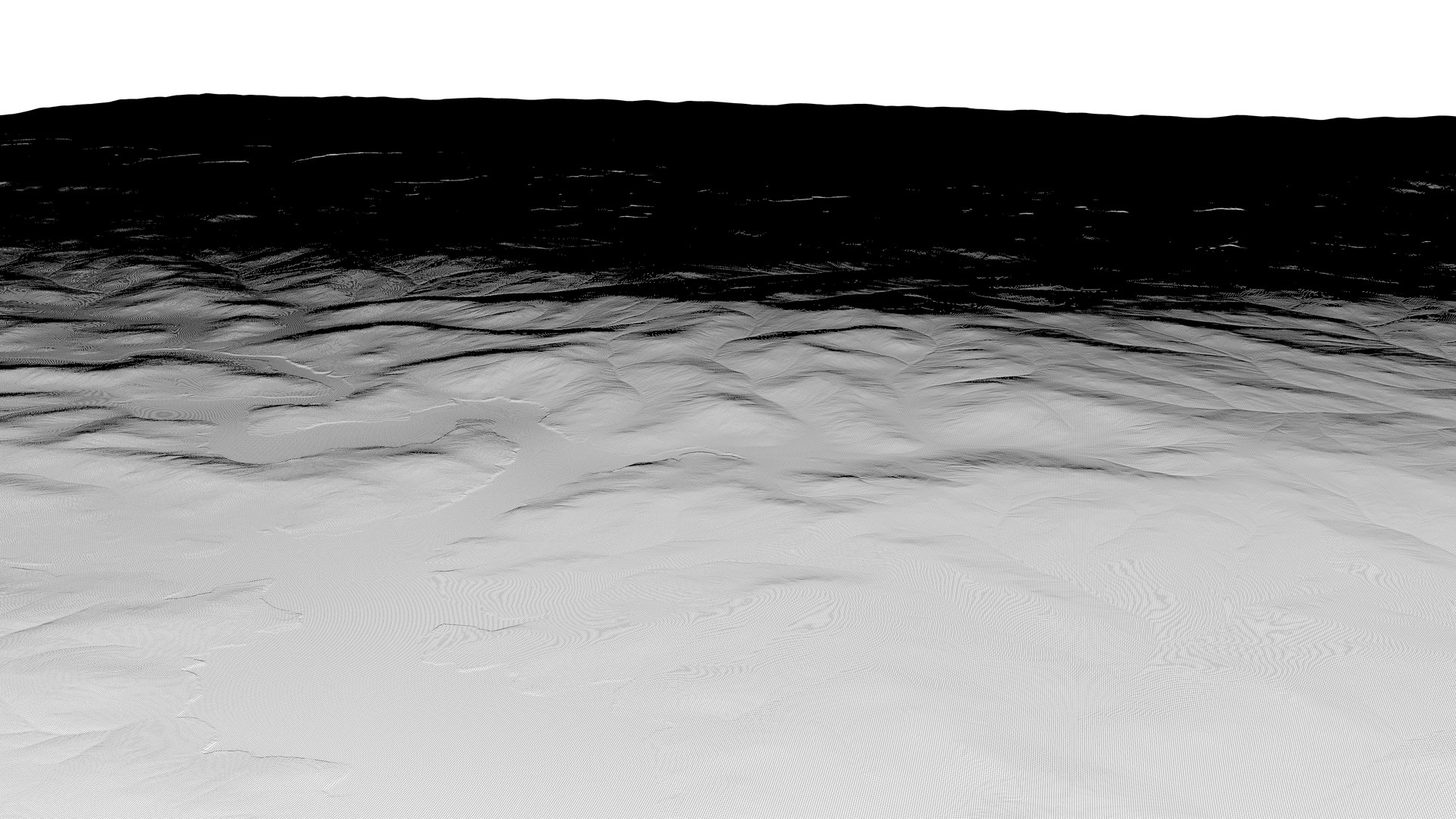
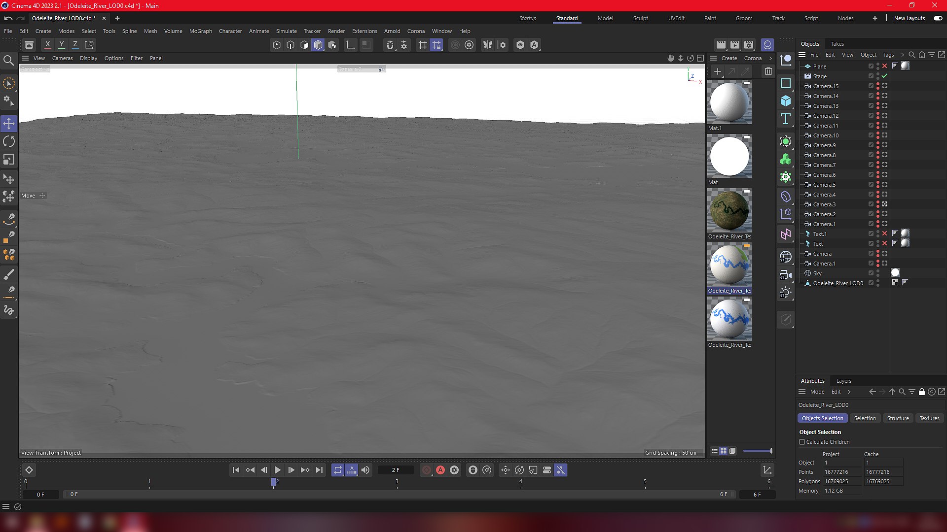
Terrain relief and elevation values fully correspond to the projection data of topographic satellites.
Based on GDEM Worldwide Elevation Data. Texture mapping based on projections
of the geographic data coordinate system (latitude and longitude). The map projection is Mercator.
Elevation data:
min: 5 m
max: 246 m
Cinema 4D 2023.
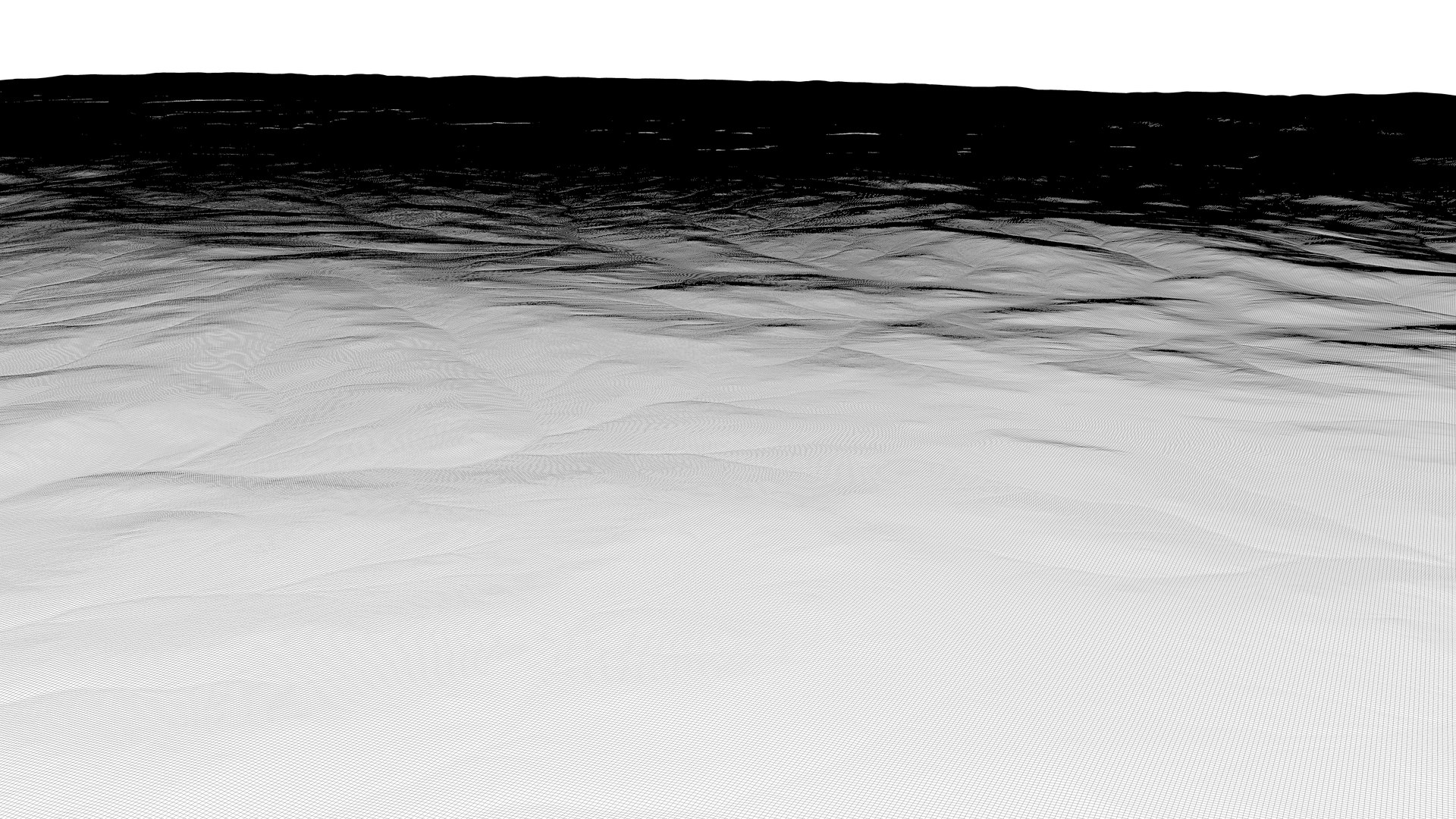
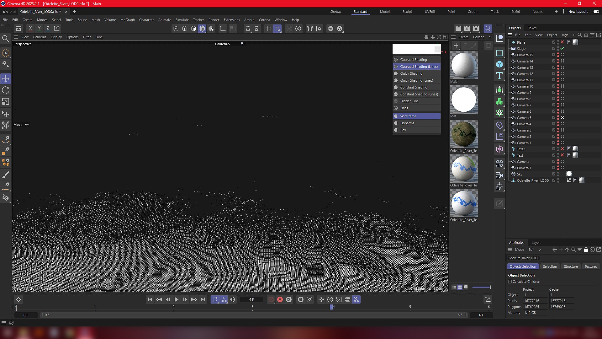
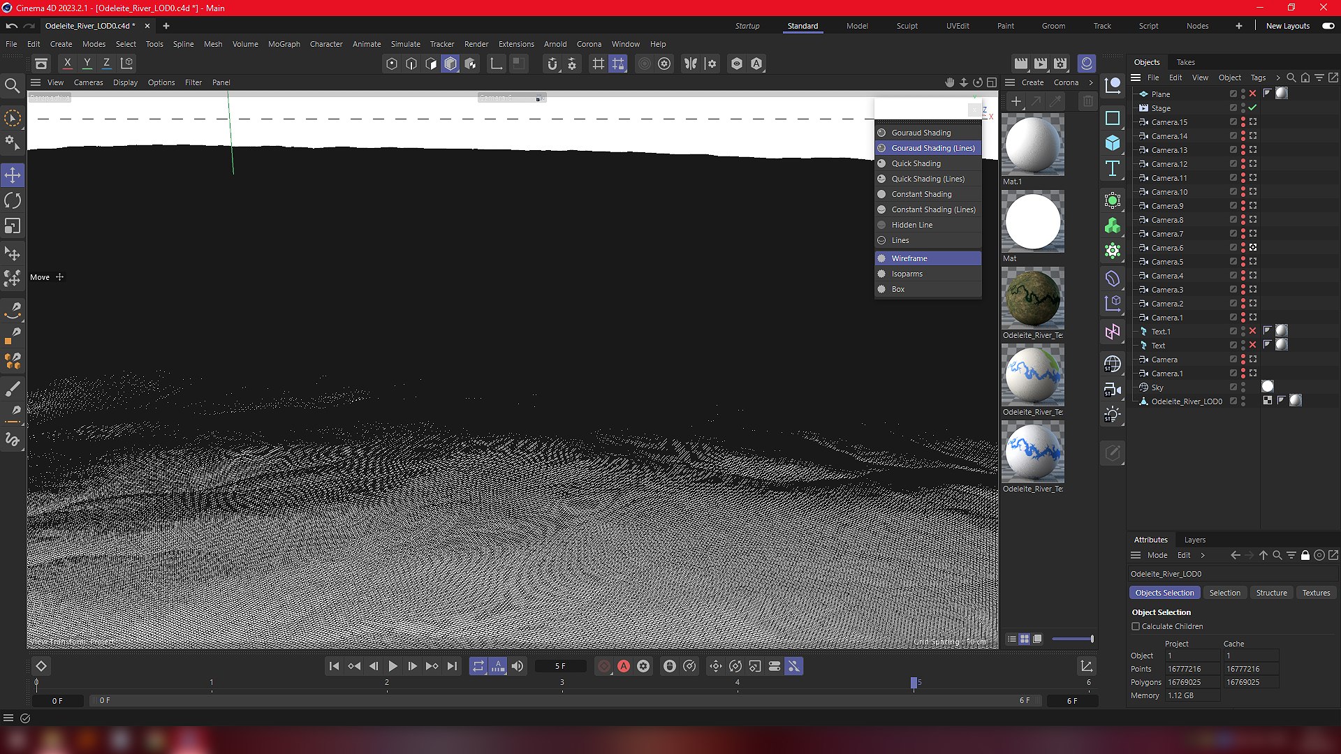
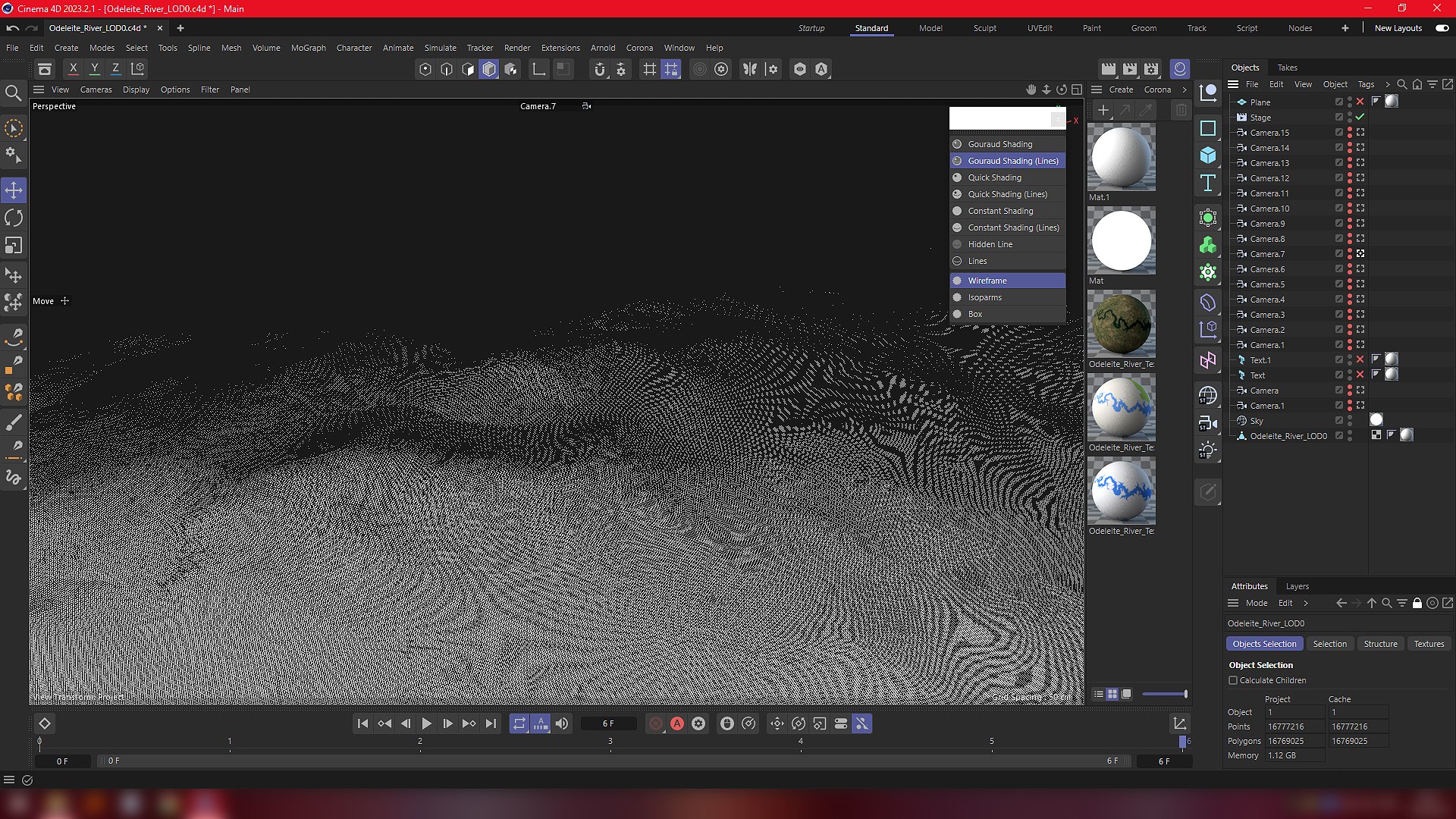
Five levels of detail.Quad topology.
Textures formats:
- Satellite Imagery Map.jpg 32k
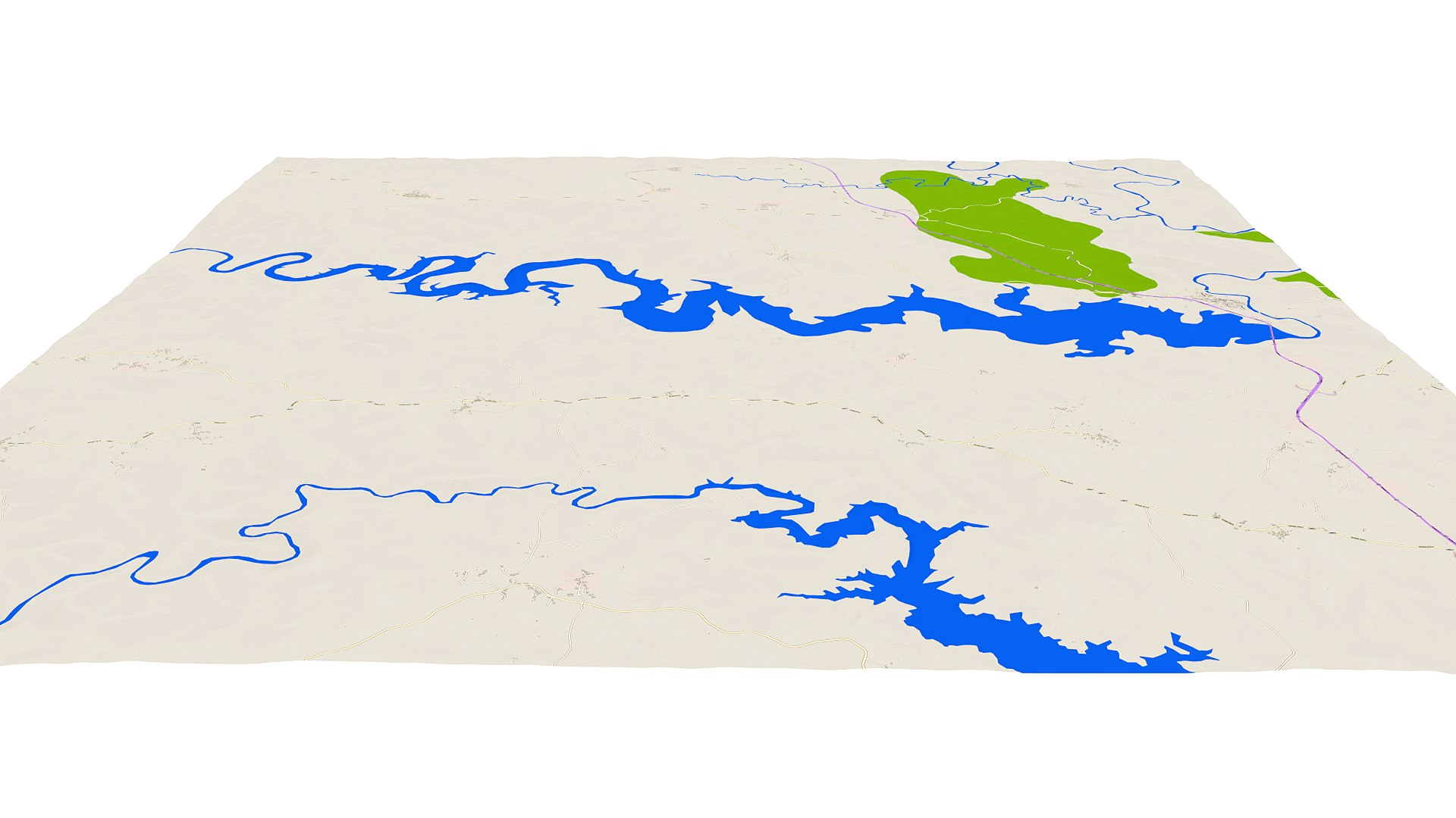
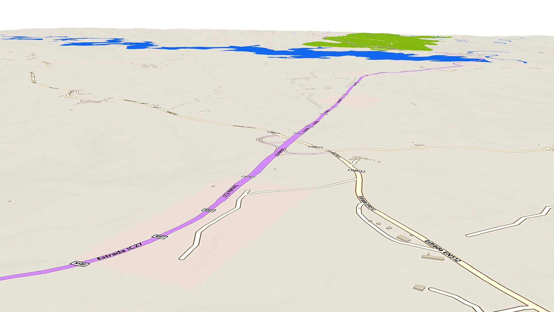
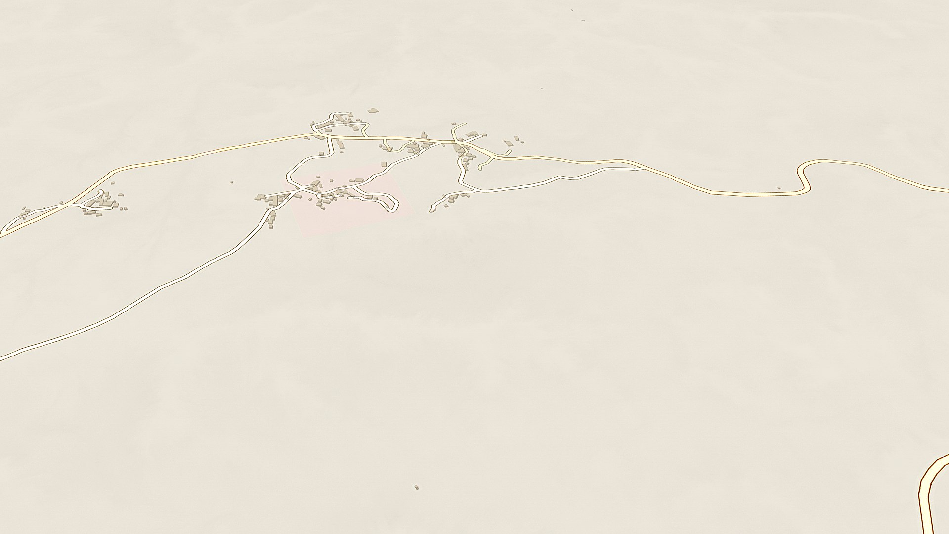
-Topographic Maps.jpg 16k
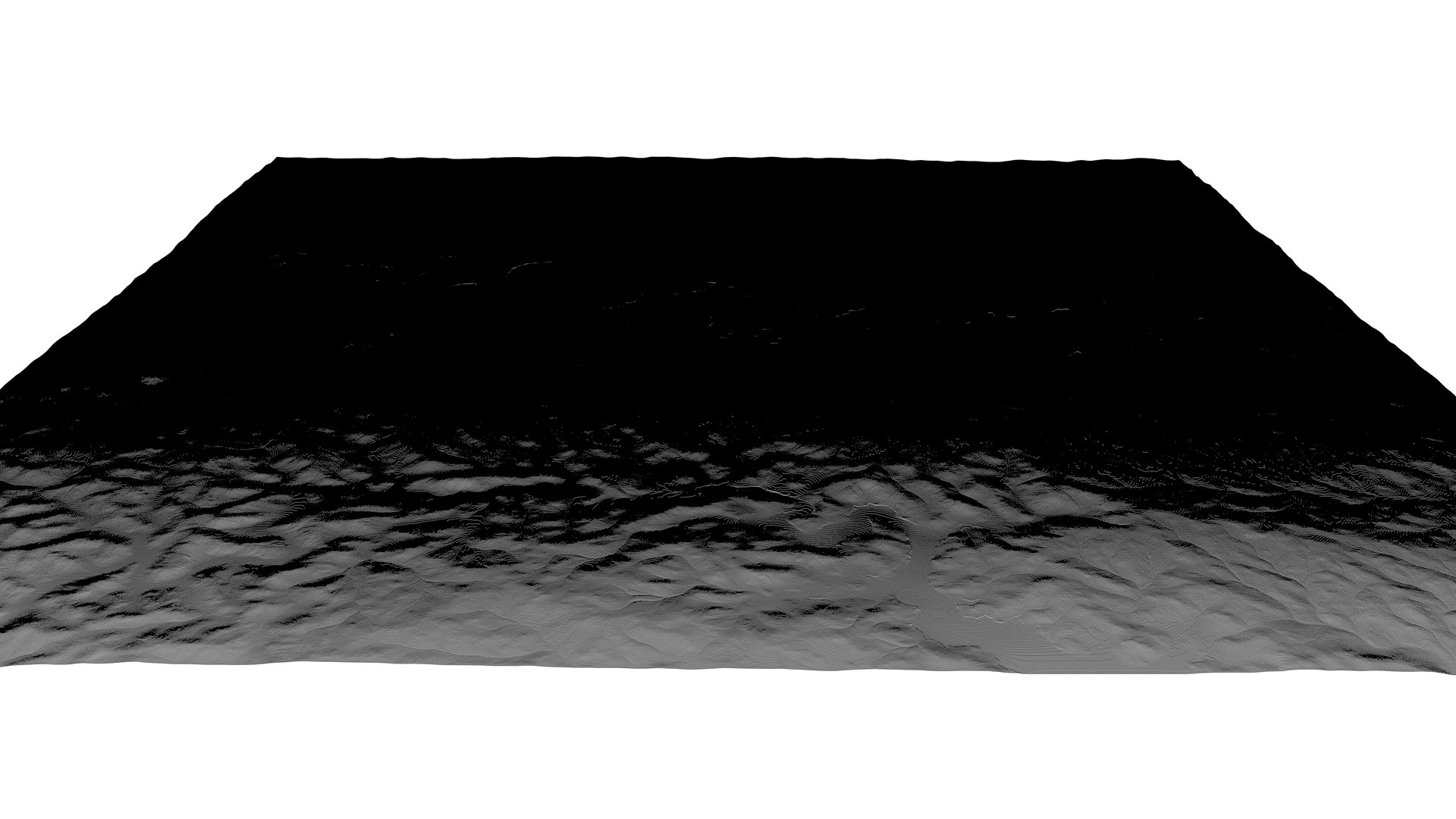
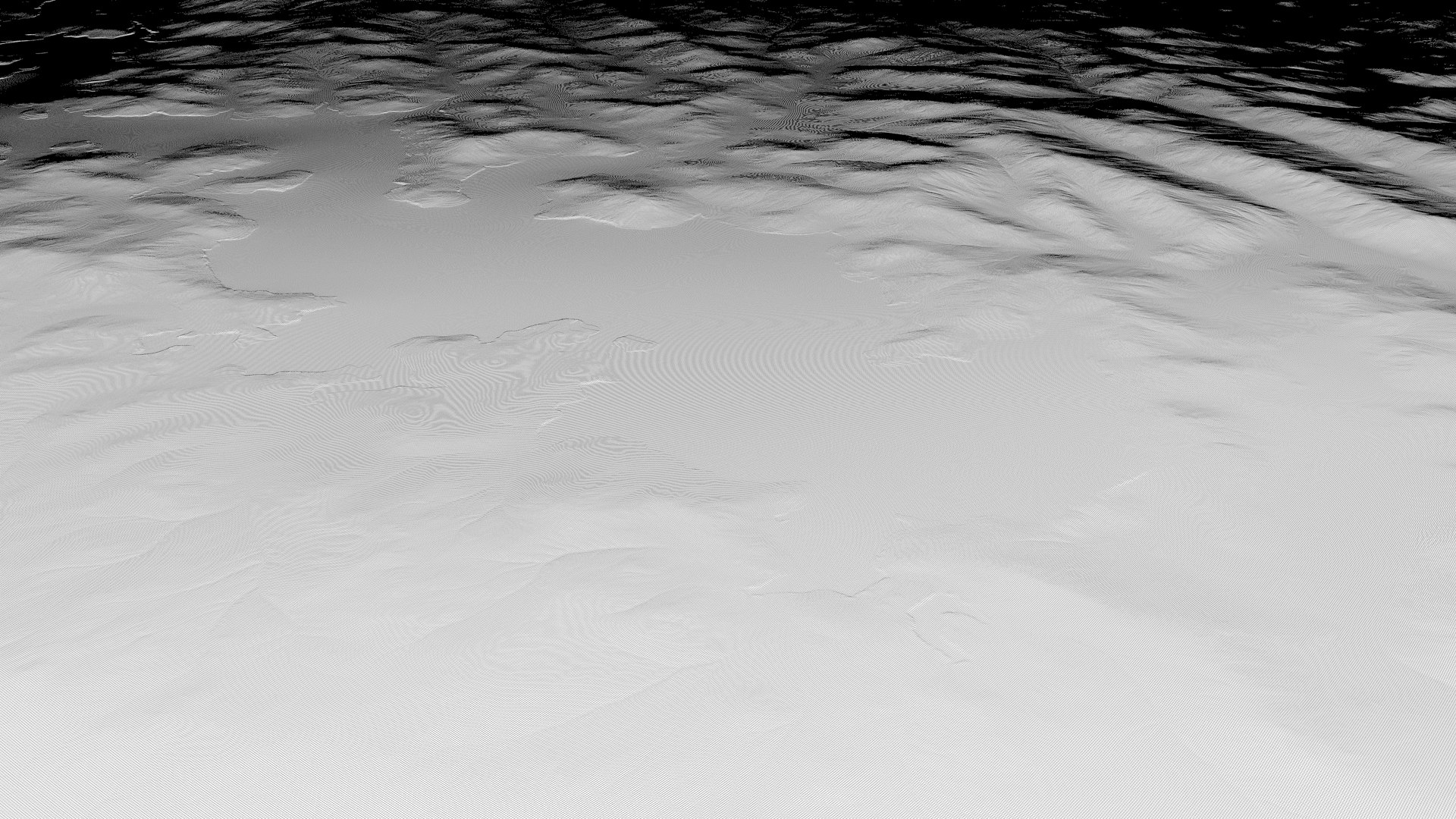
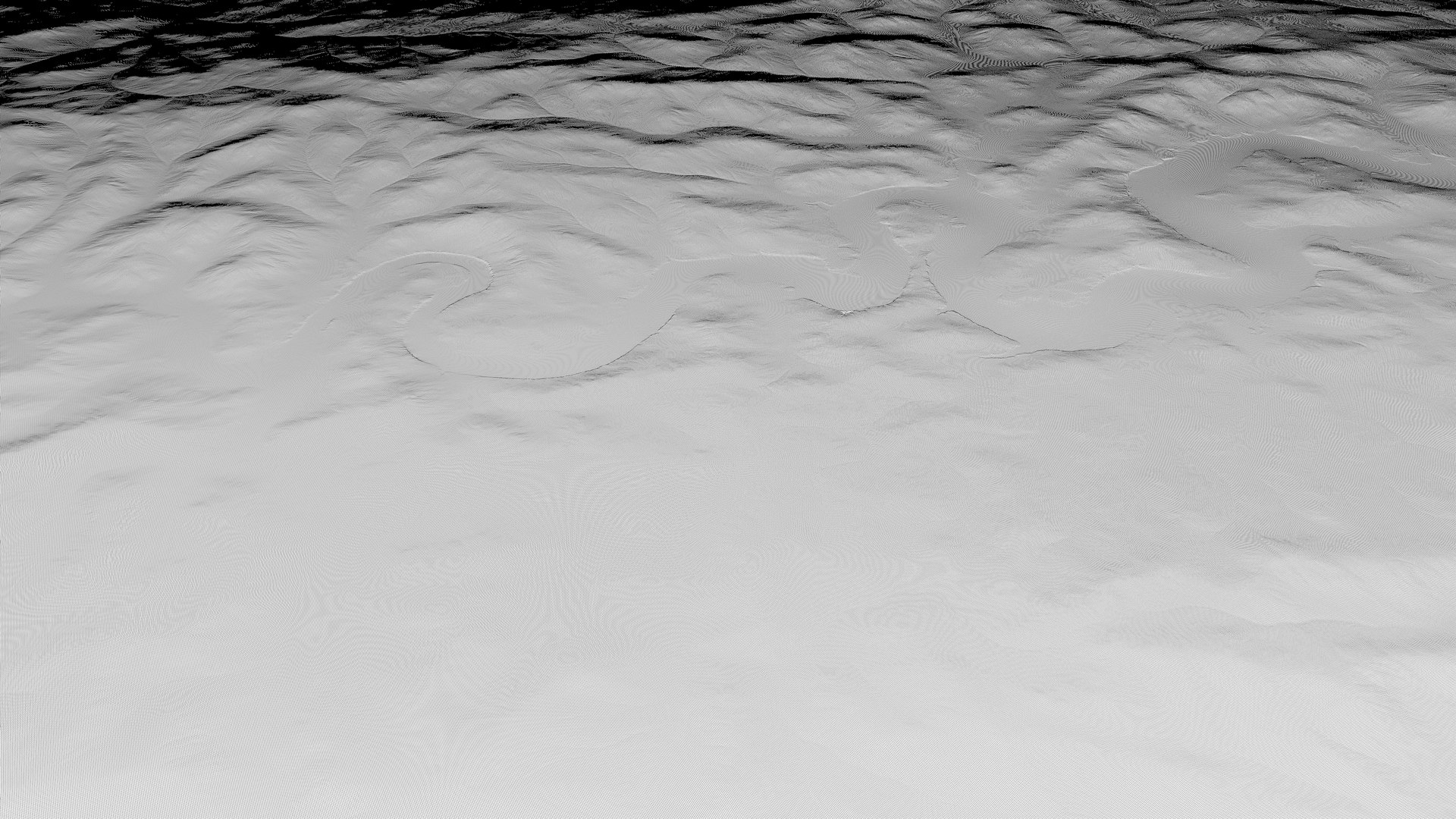
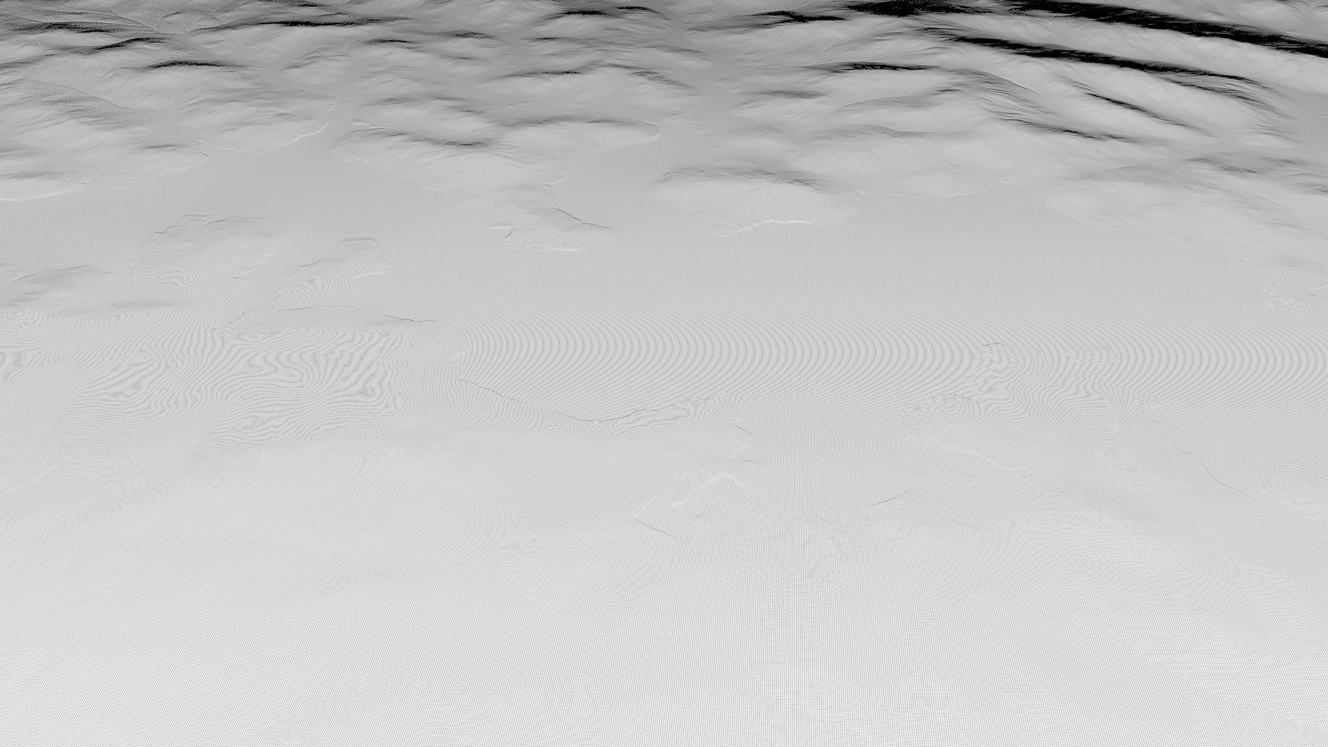
-Normal Map.jpg 8k
Render Data:
Cinema 4D Physical Engine.
Default (physical) scene rendering settings.
Standard materials.The standard sky is used.
In-camera(Standard):The focal length is Classic (36 mm).
The scene uses 'Ambient occlusion'.
The scene has 'Global illumination'.
The scene uses a model with detail level #0.
The texture resolution 32768 px.
No plugins.
The 3D model has planar UV mapping.
File format:
- C4D
Model parameters LOD0:
polygons: 16777216
vertices: 16769025
Model parameters LOD1:
polygons: 4190209
vertices: 4194304
Model parameters LOD2:
polygons: 1046529
vertices: 1048576
Model parameters LOD3:
polygons: 261121
vertices: 262144
Model parameters LOD4:
polygons: 65025
vertices: 65536