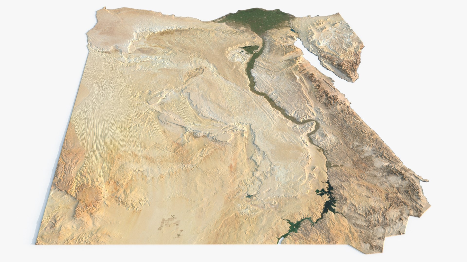
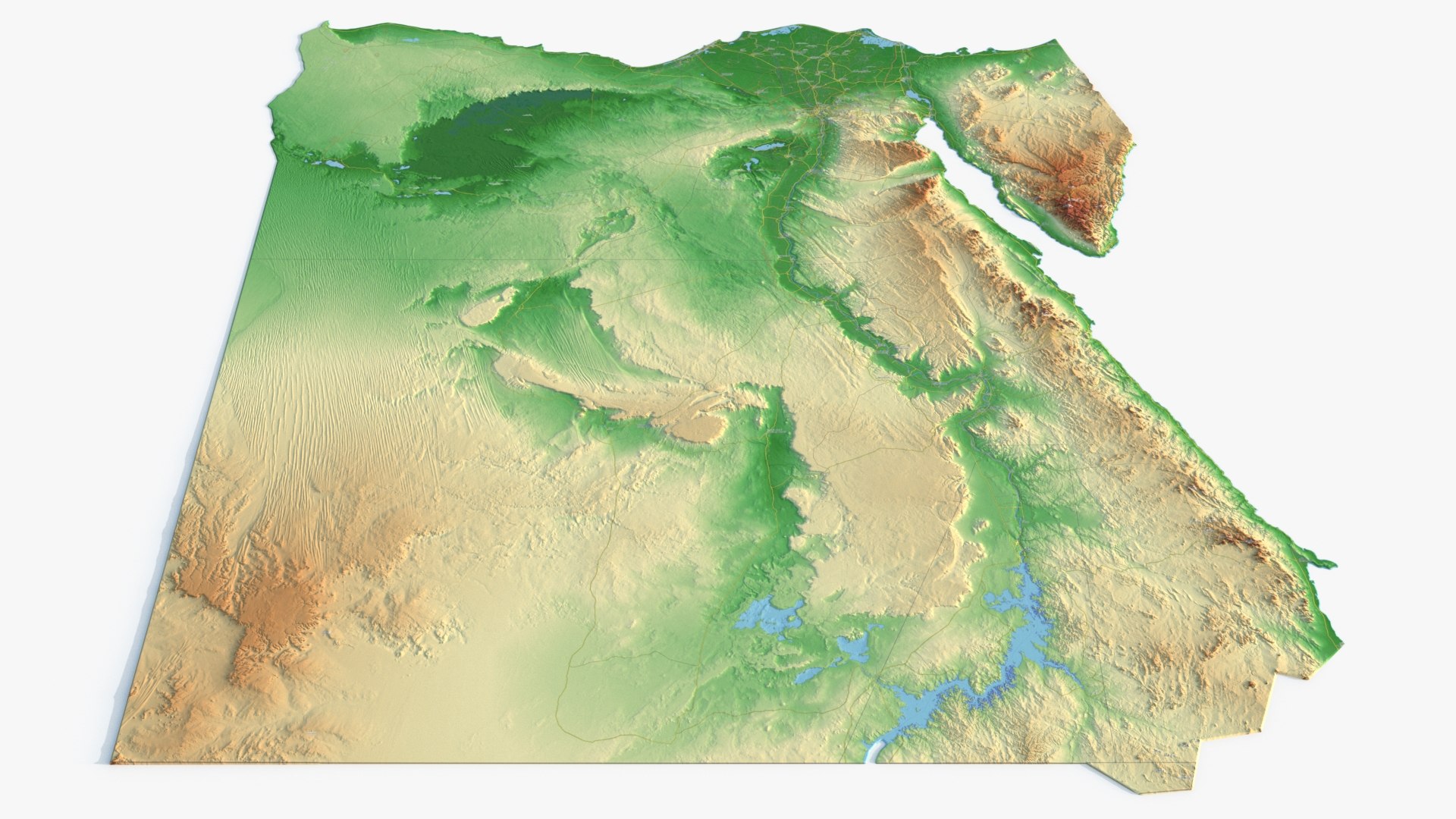
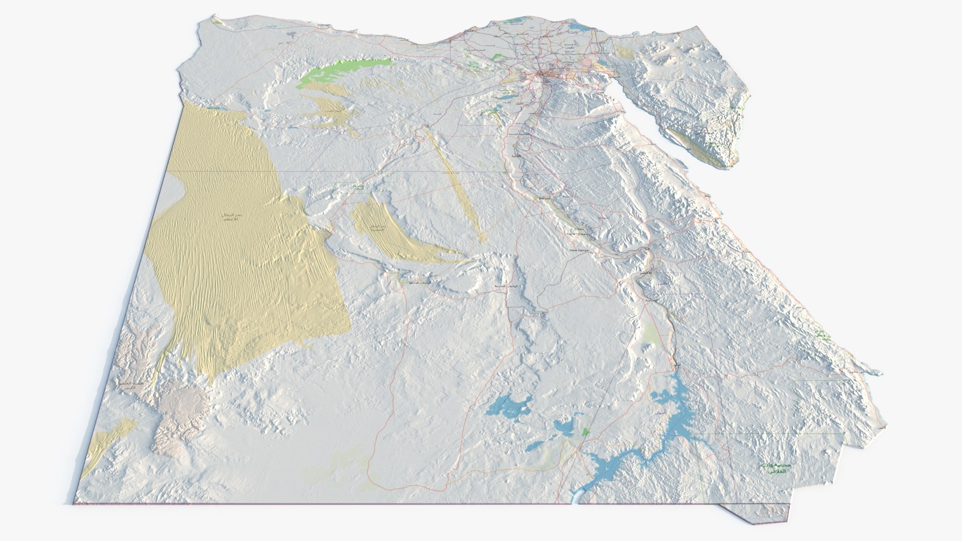
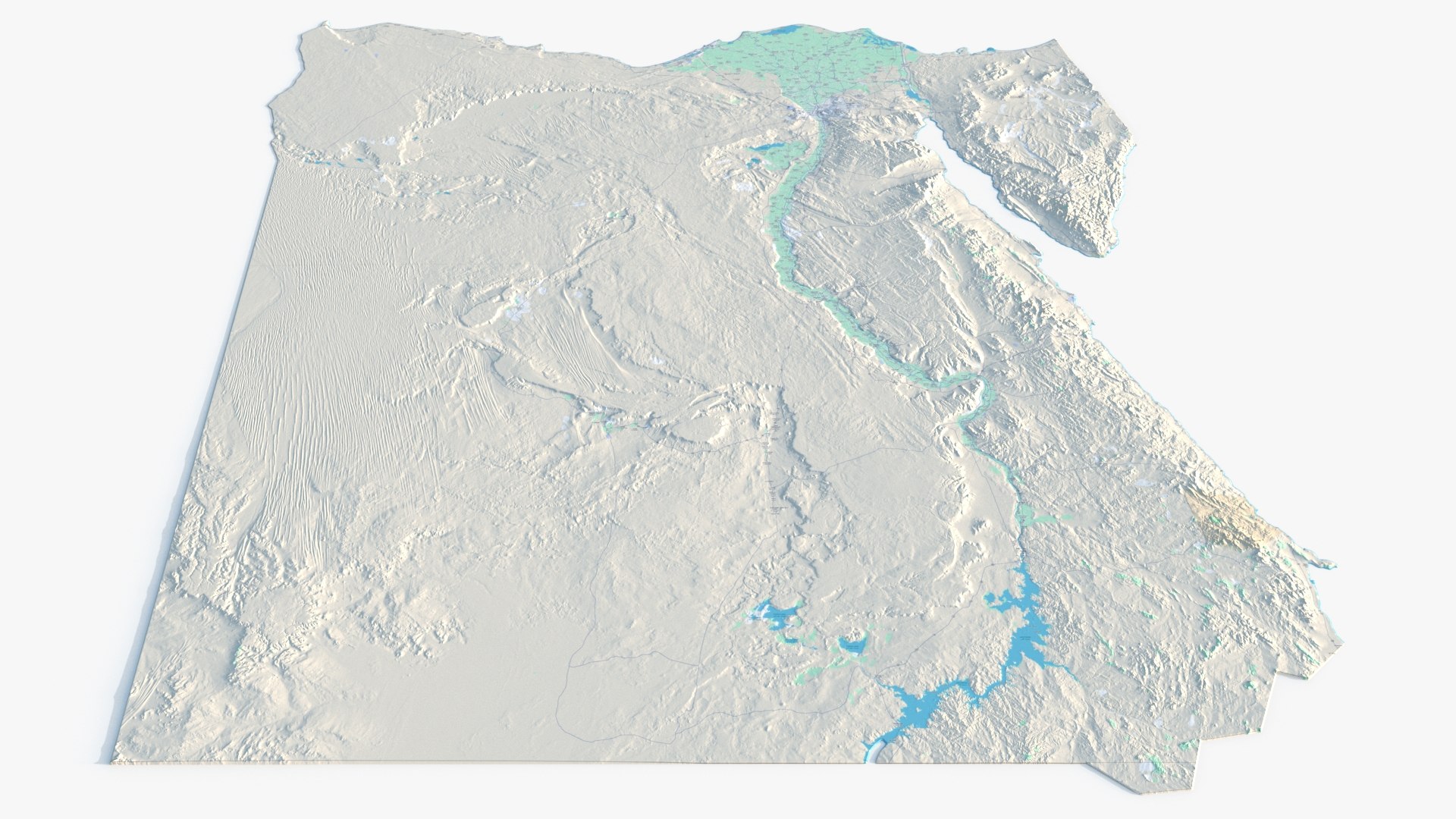
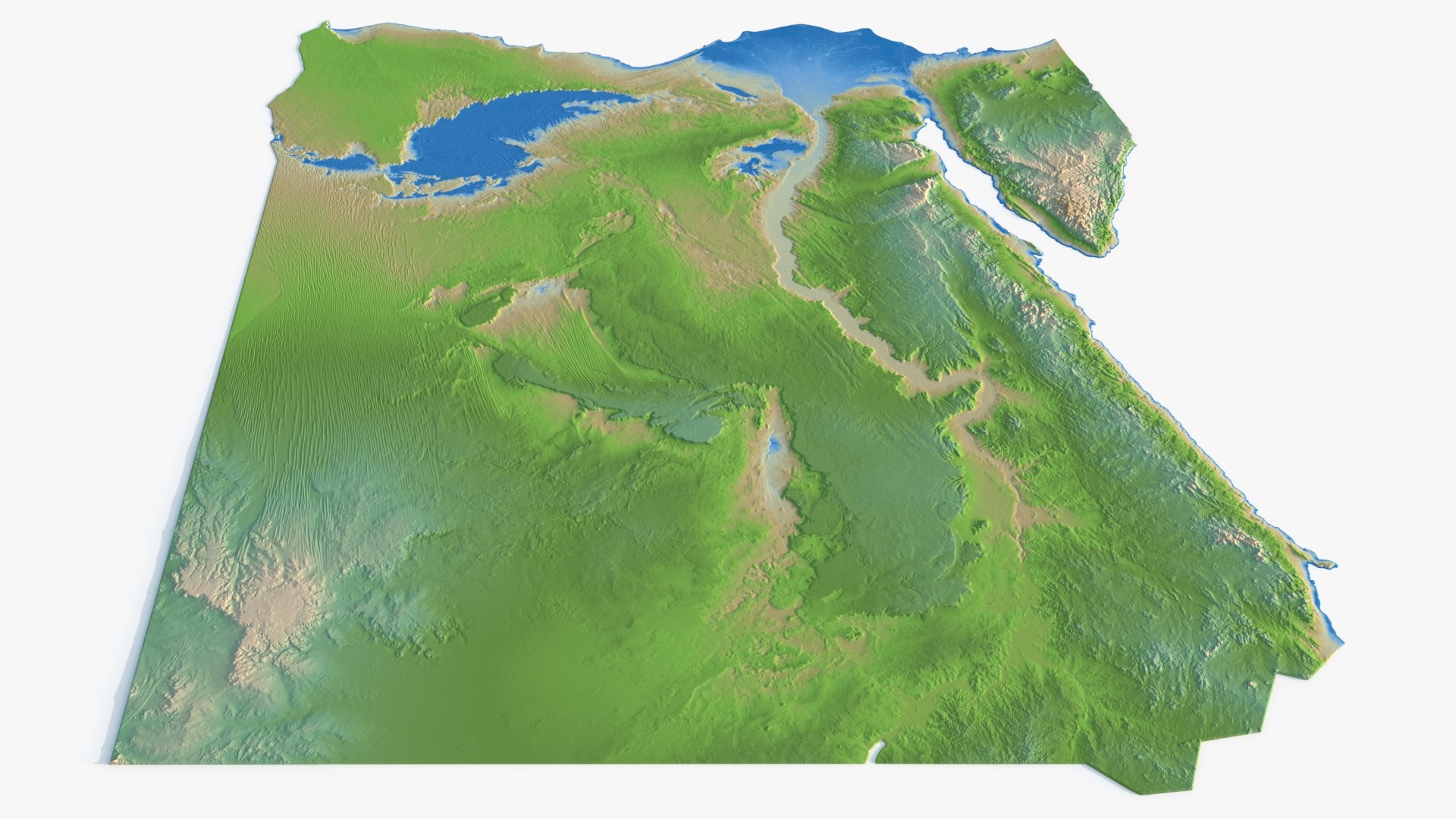
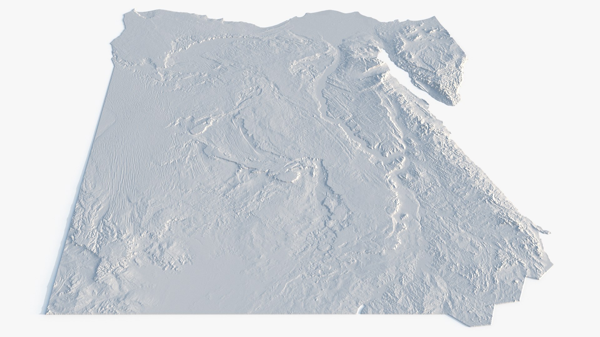
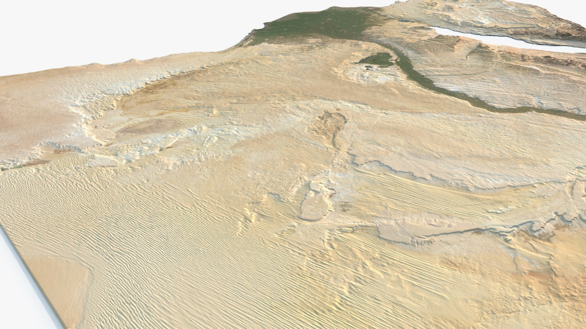
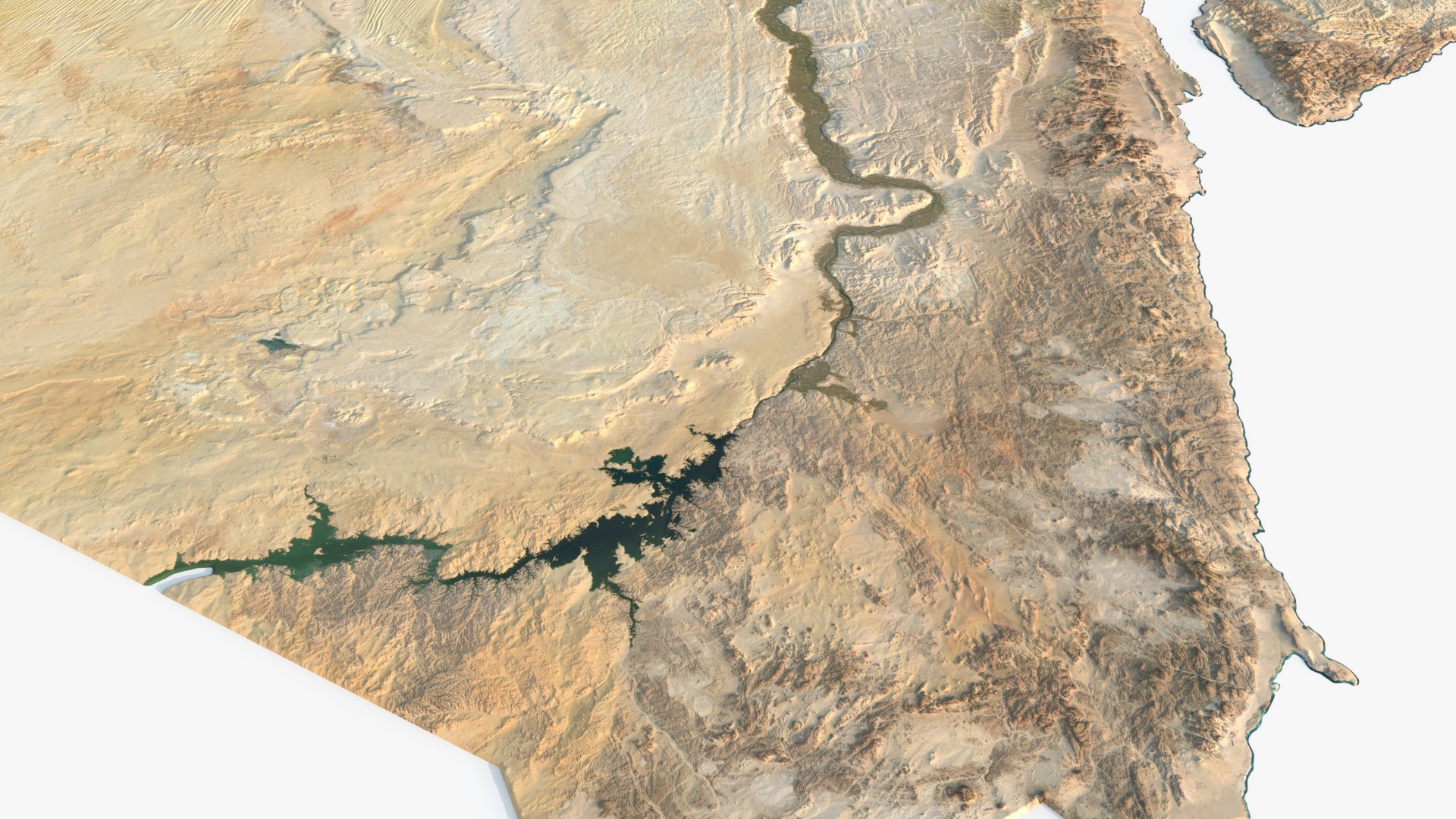
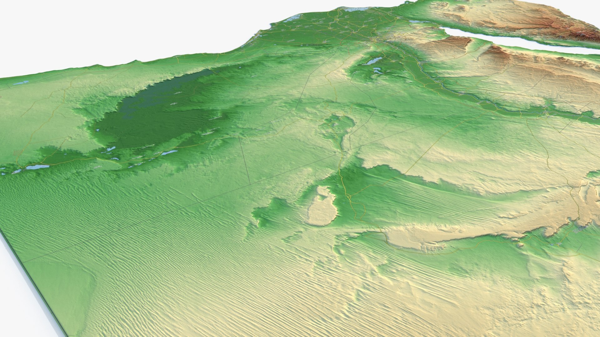
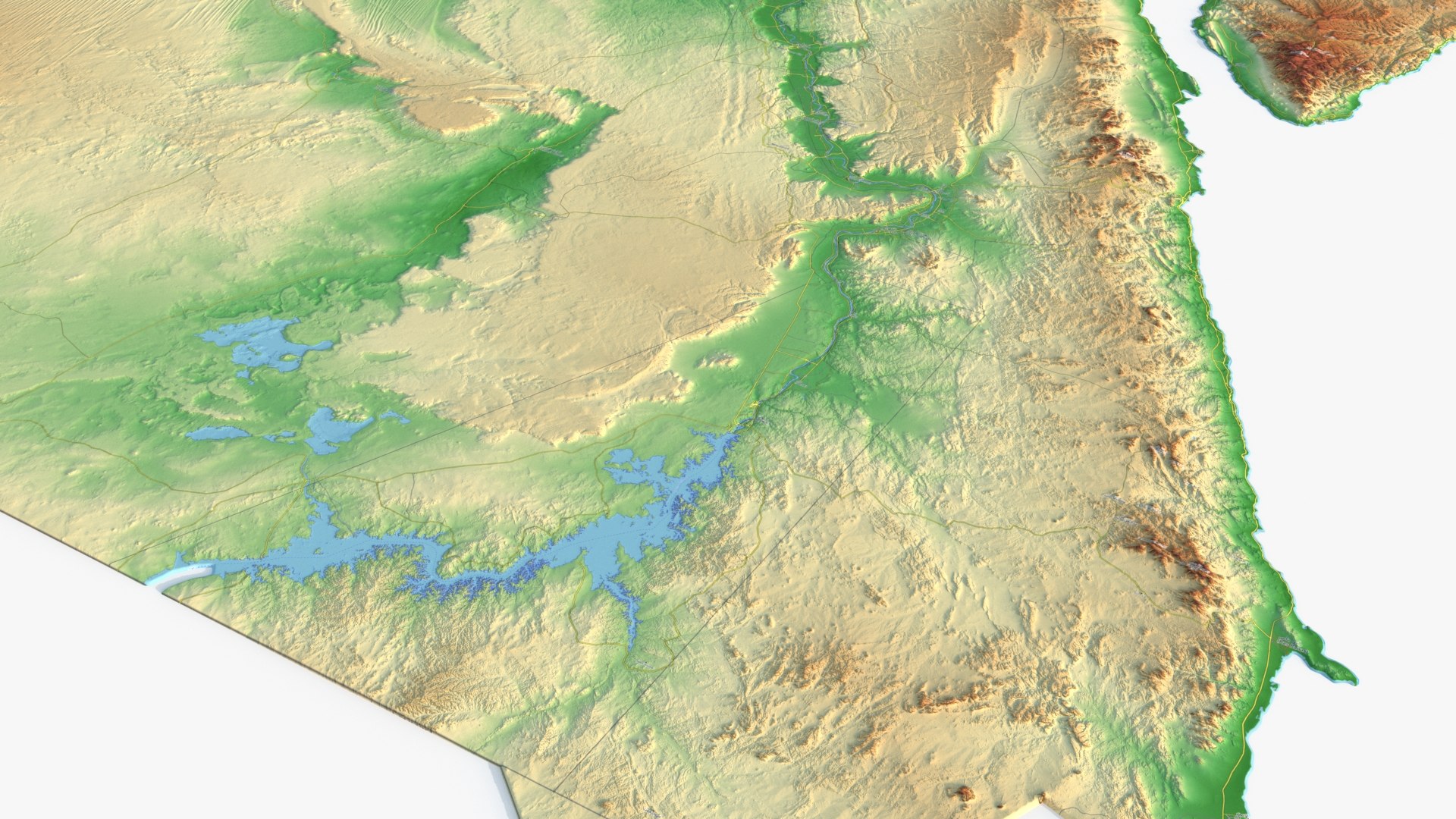
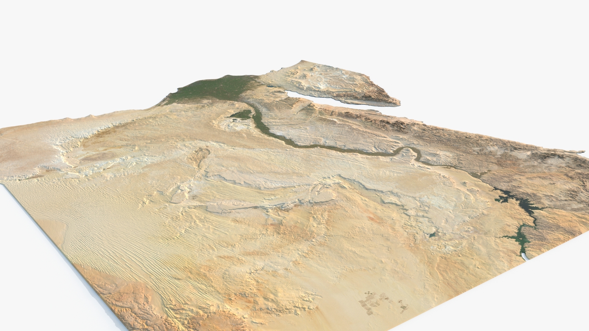
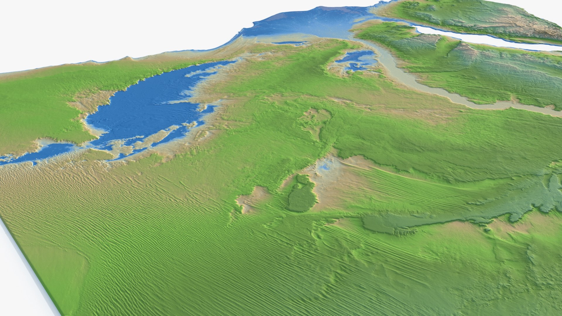
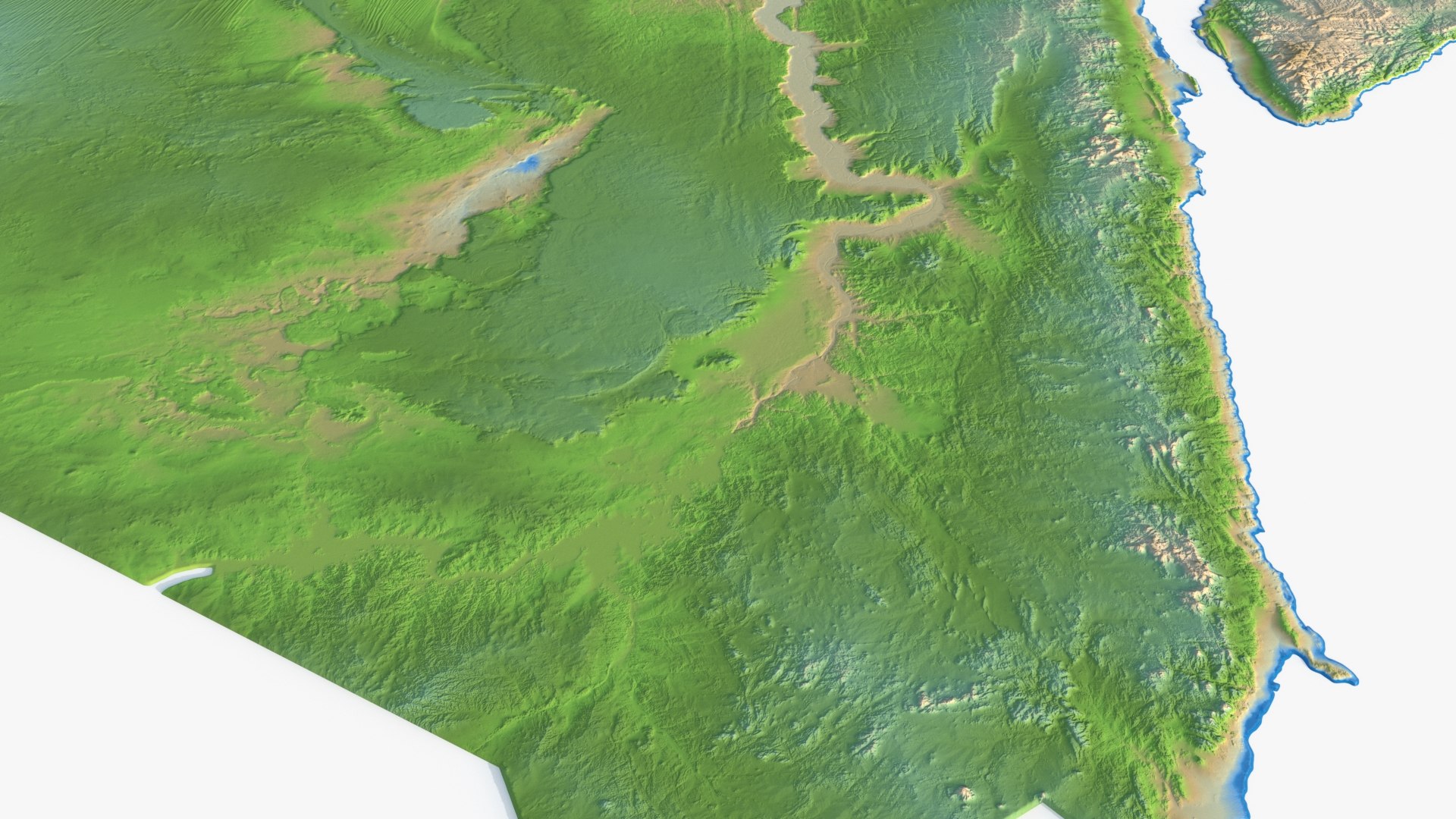
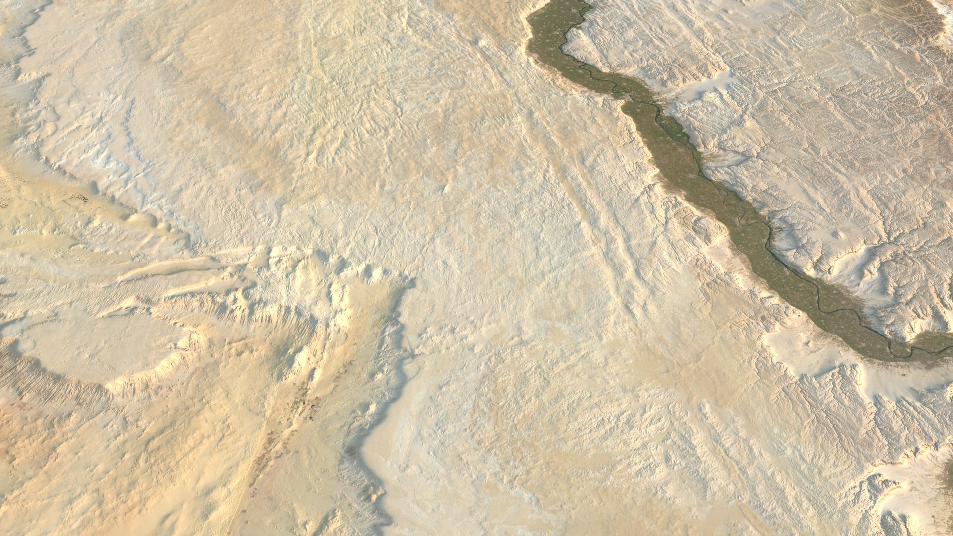
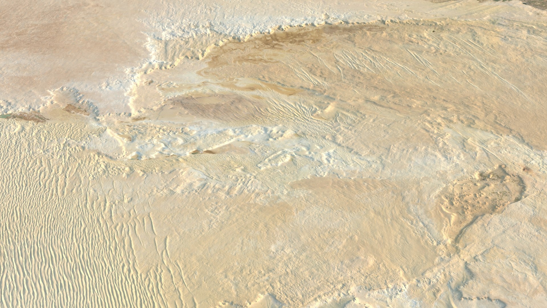
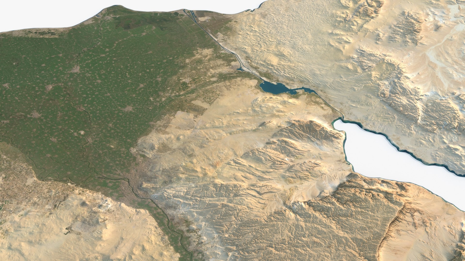
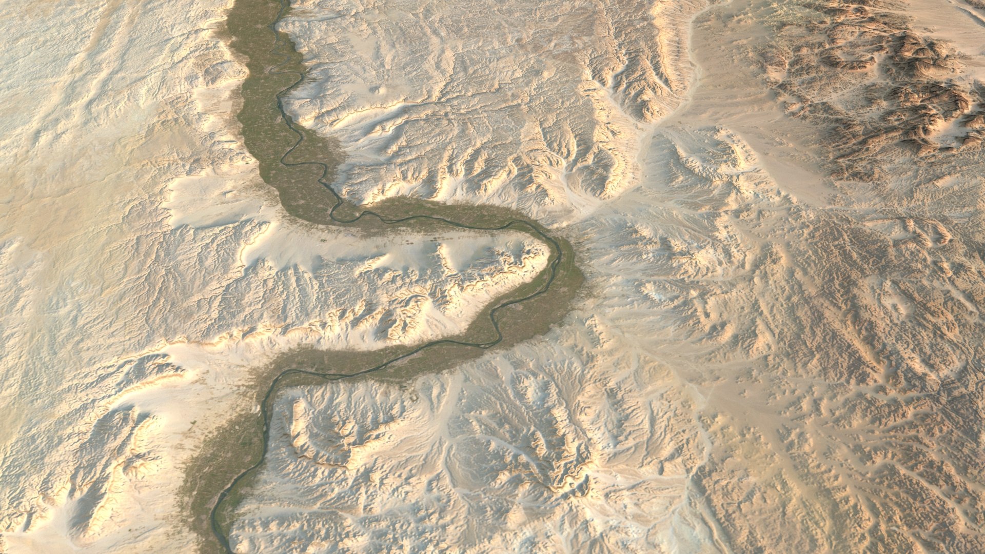
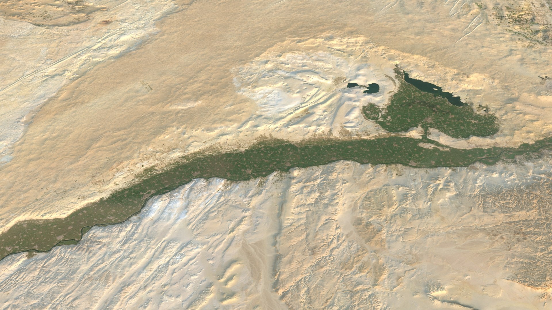
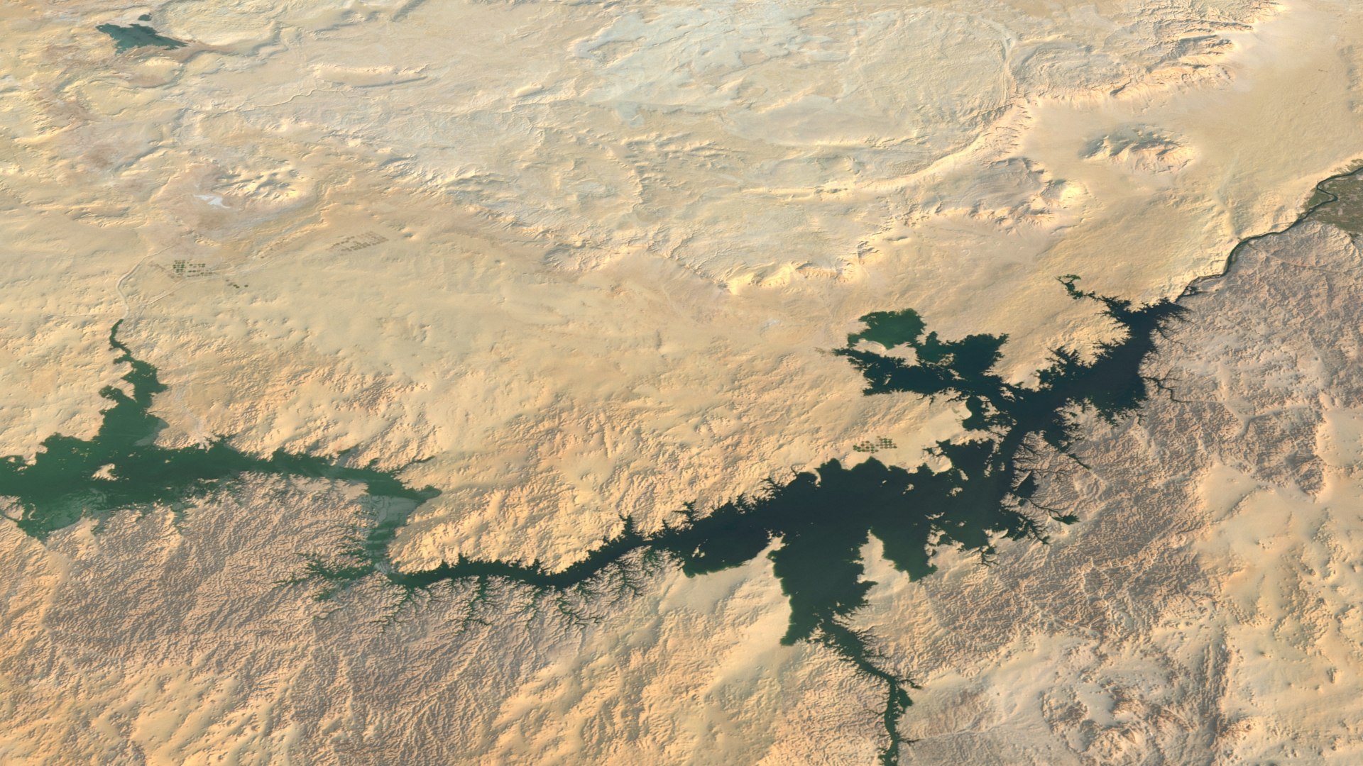
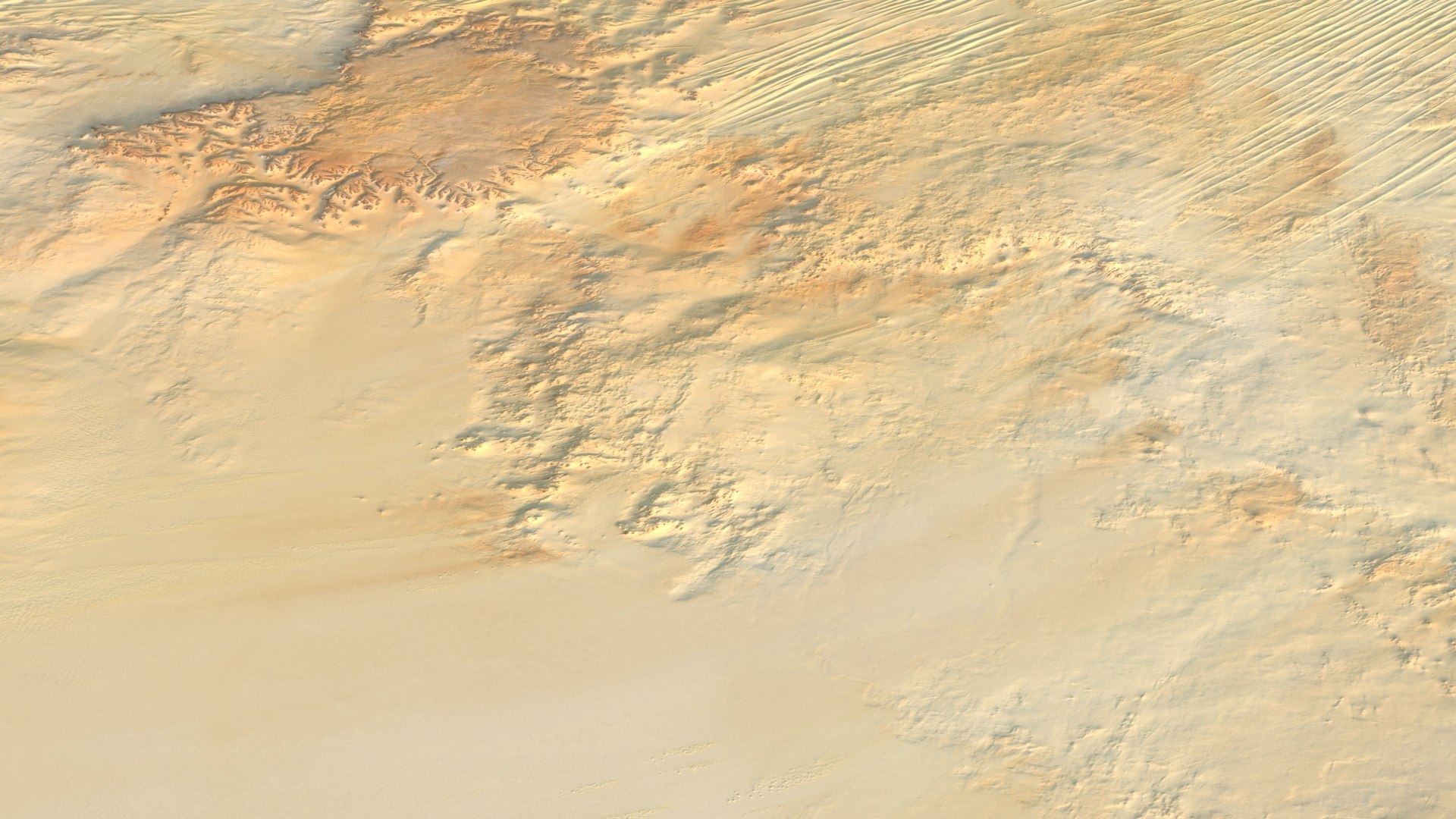
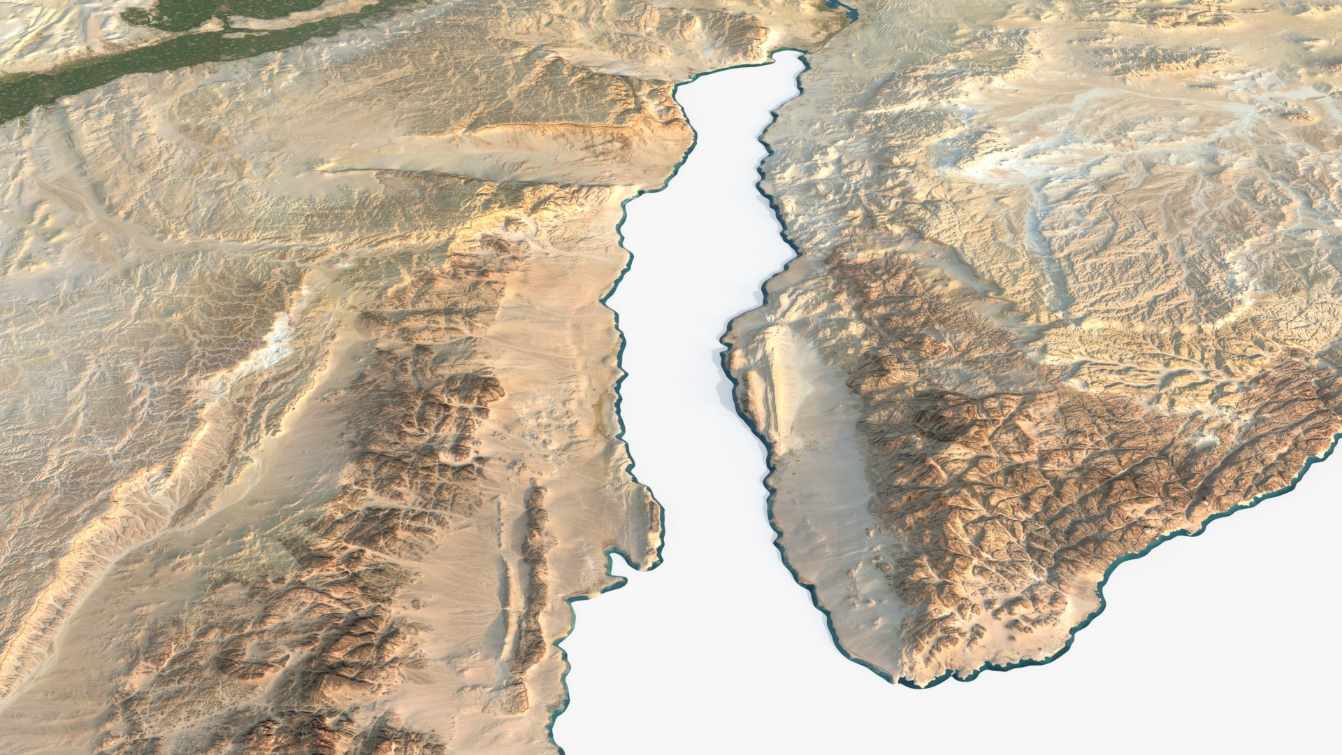
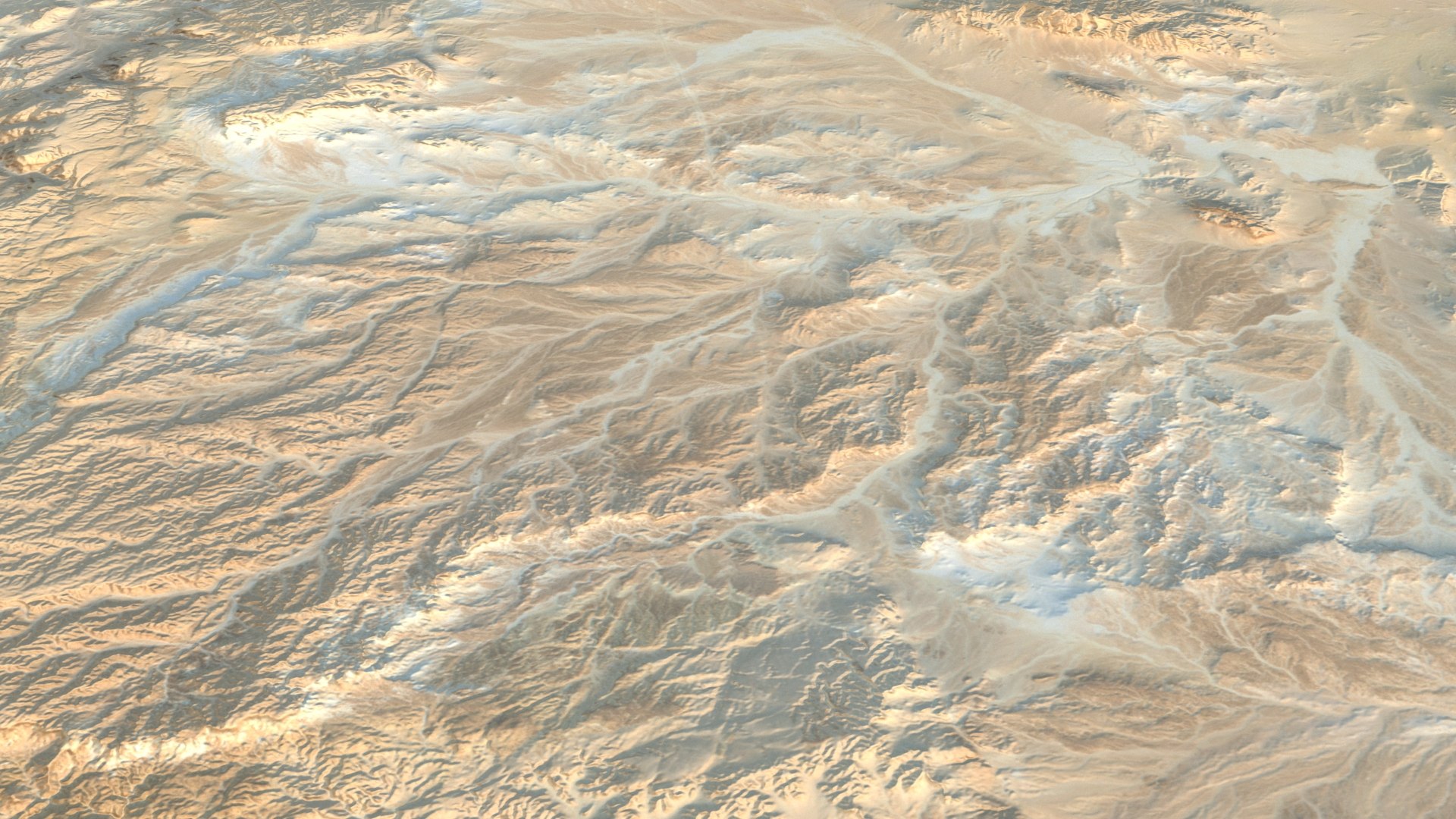
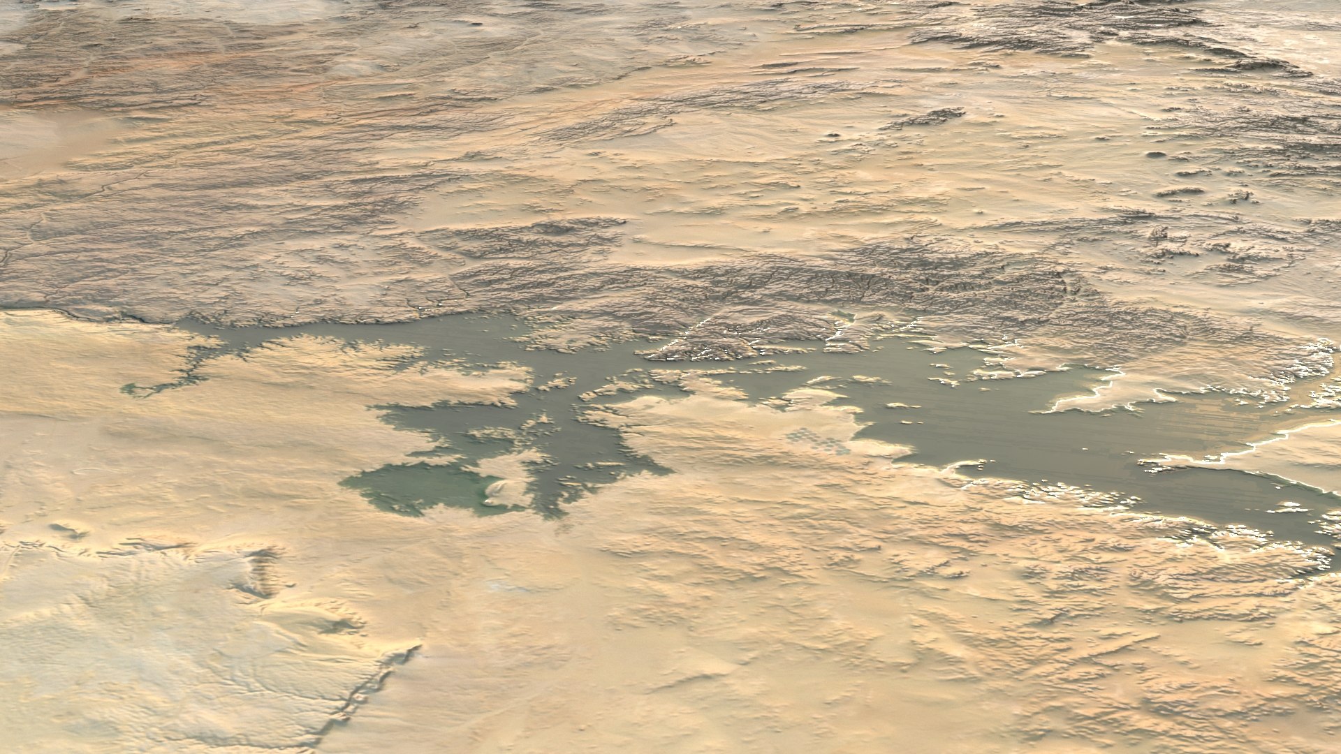
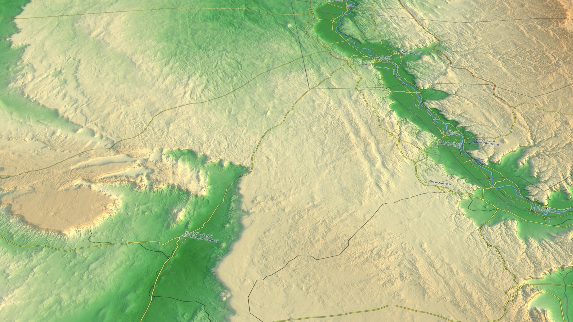
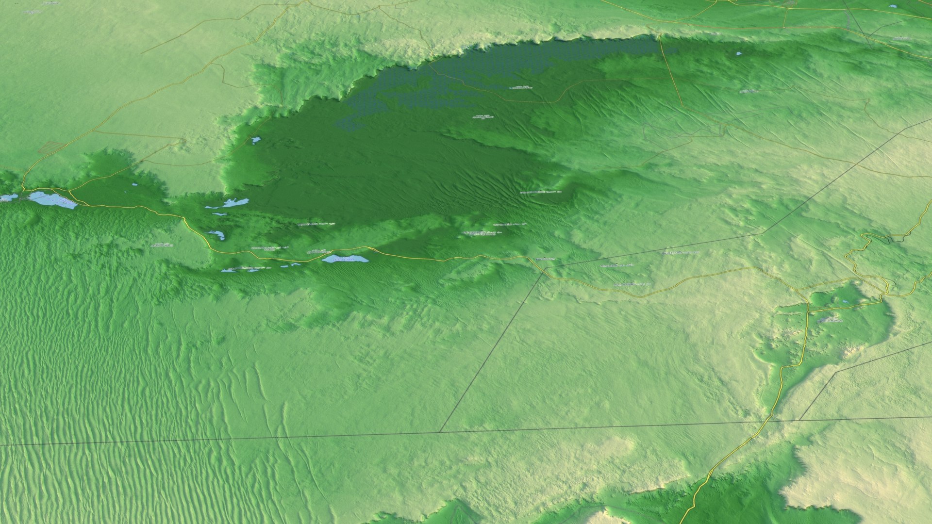
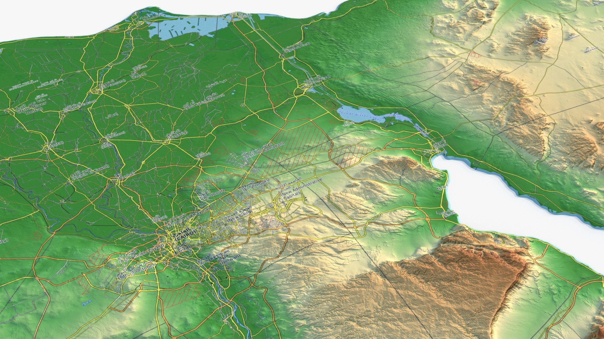
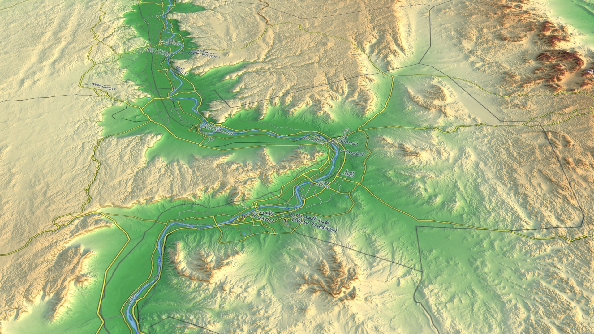
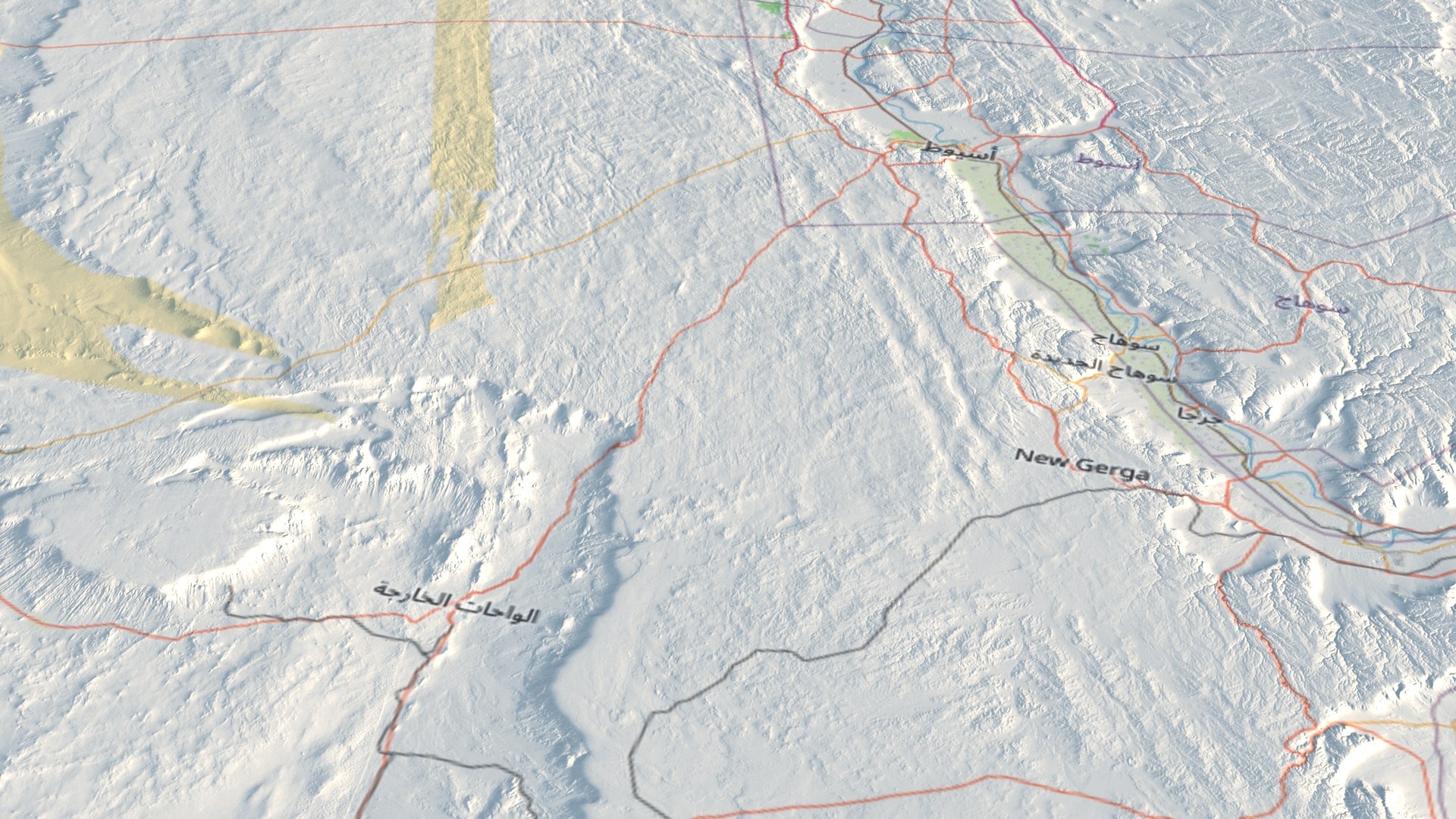
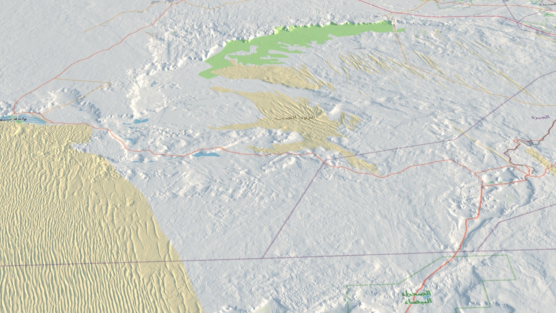
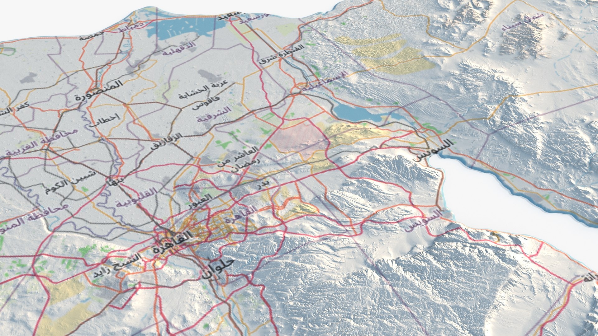
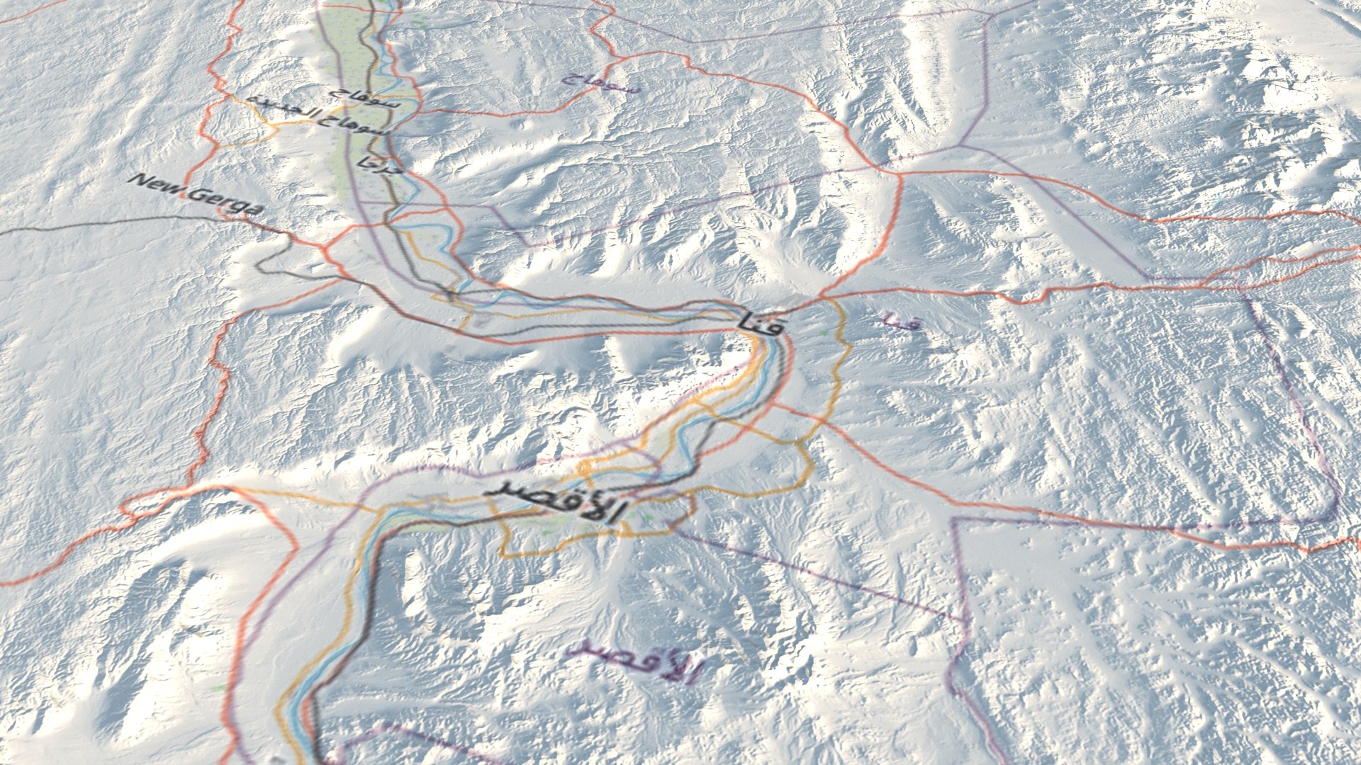
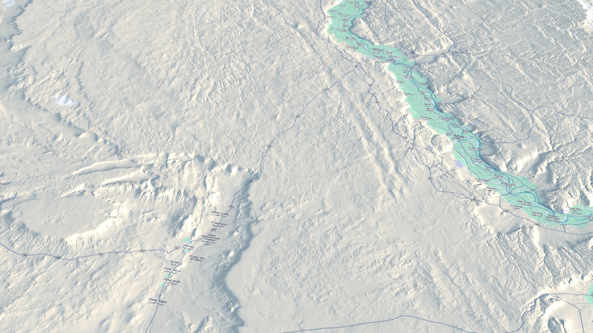
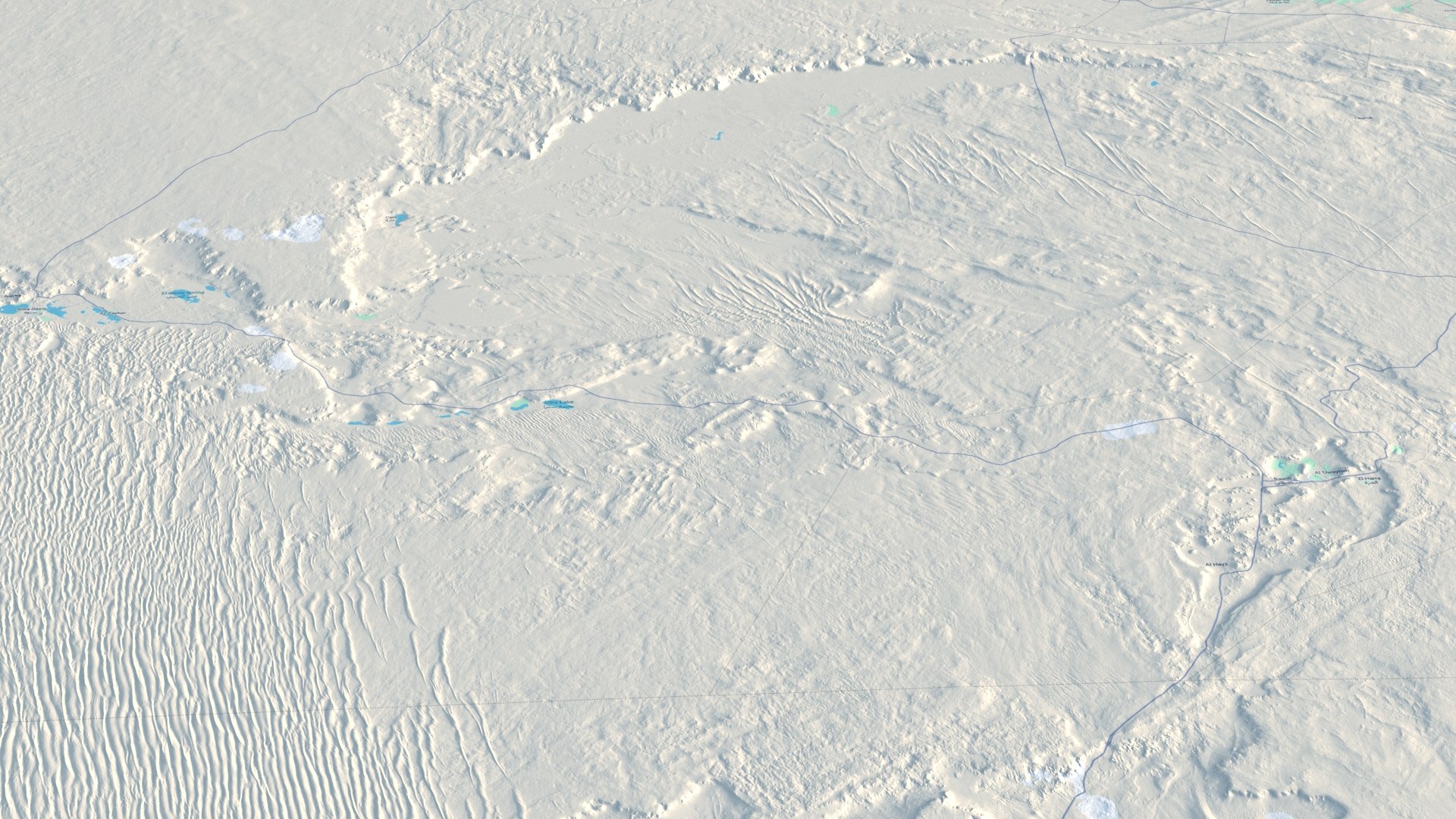
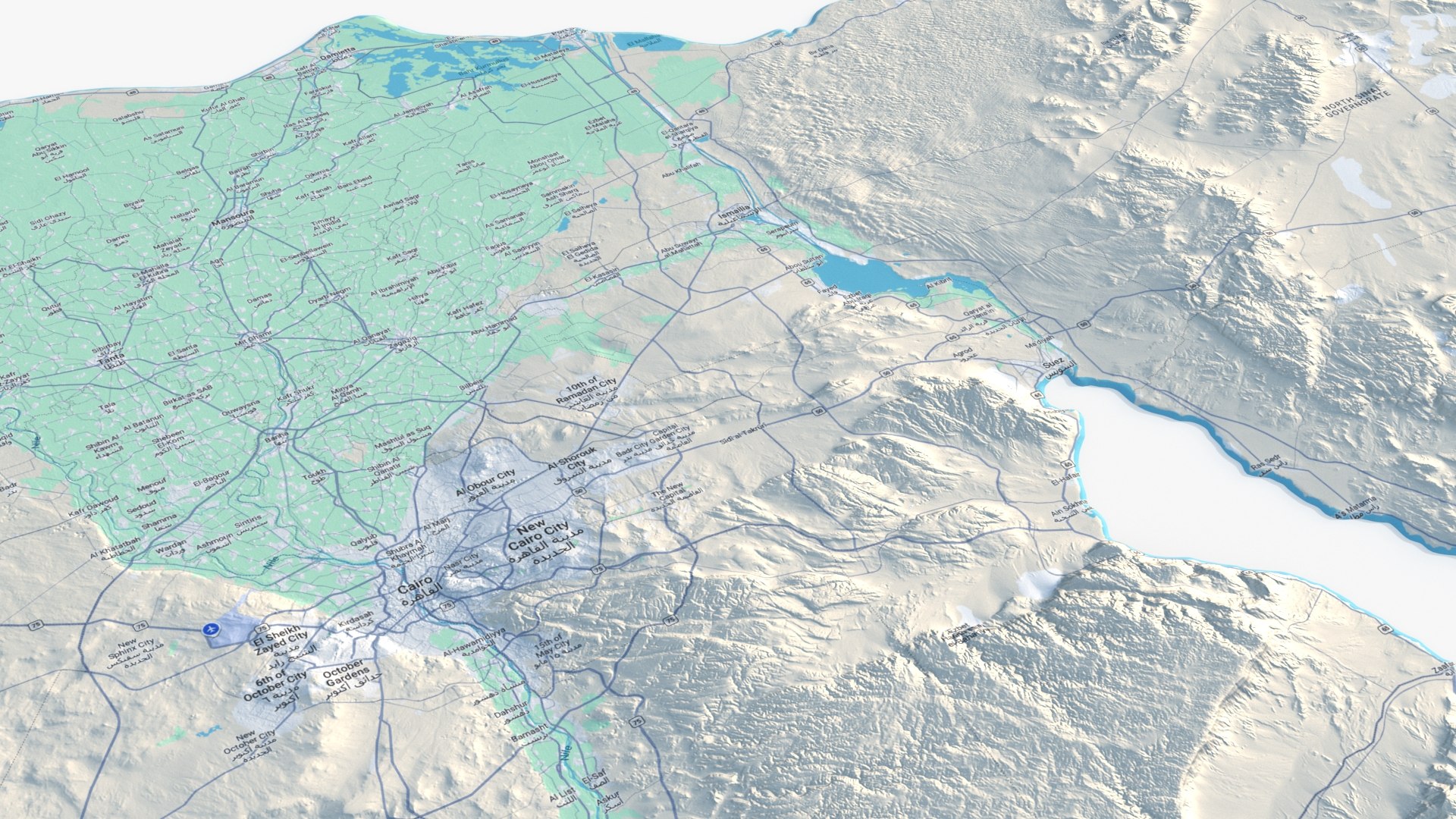
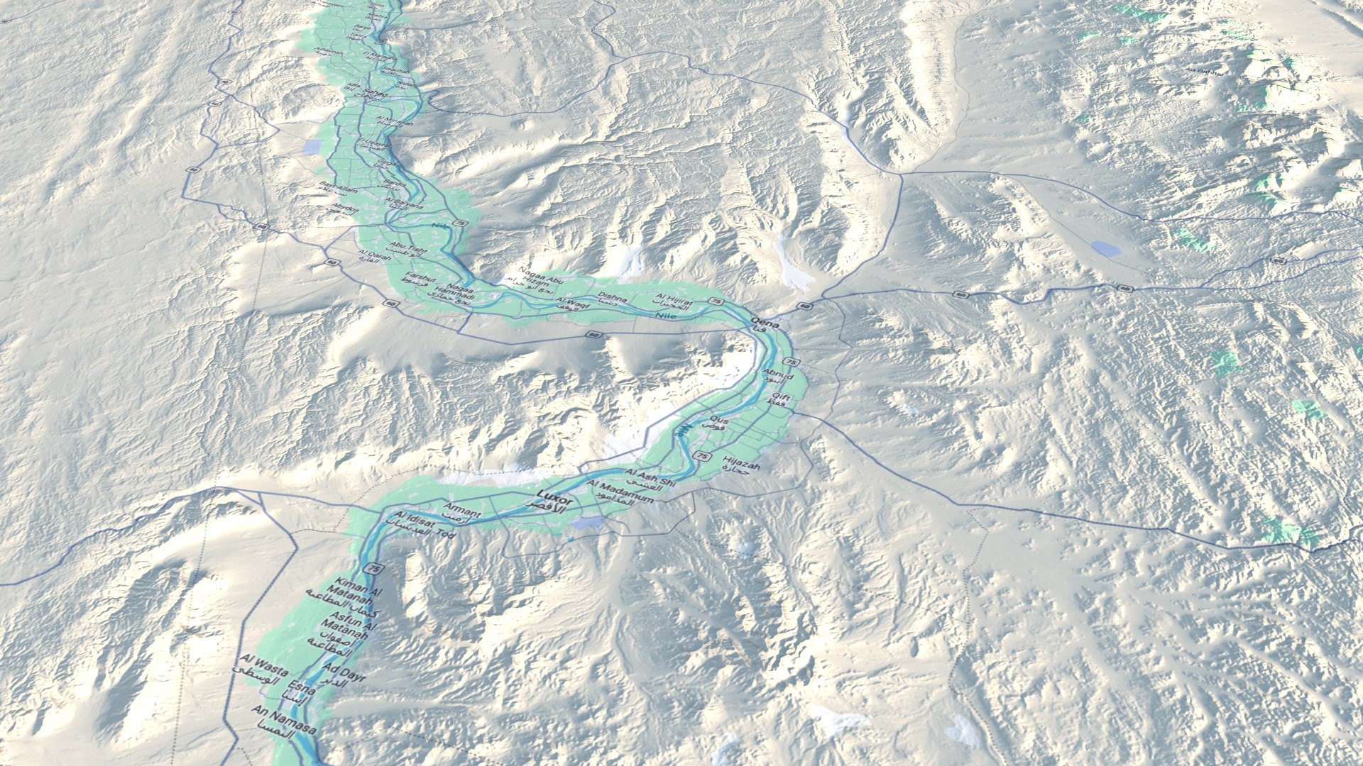
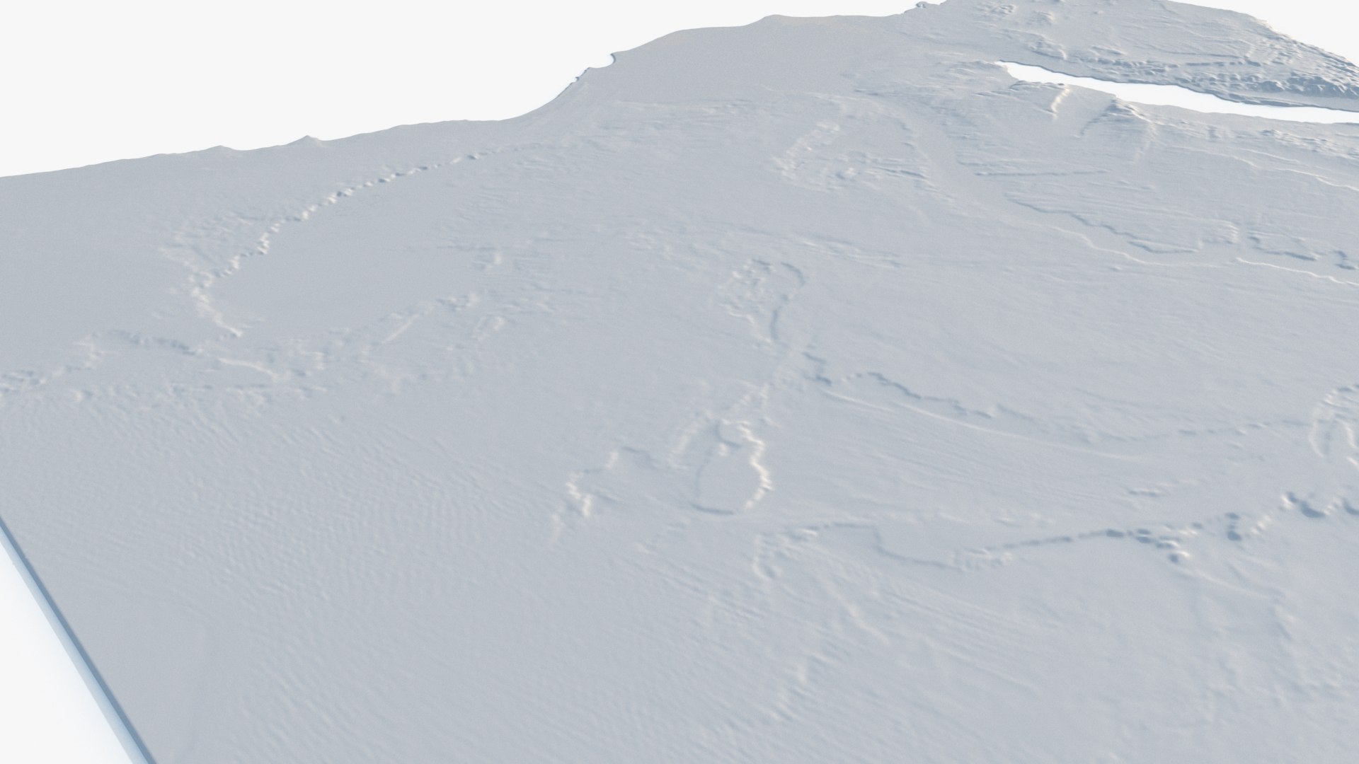
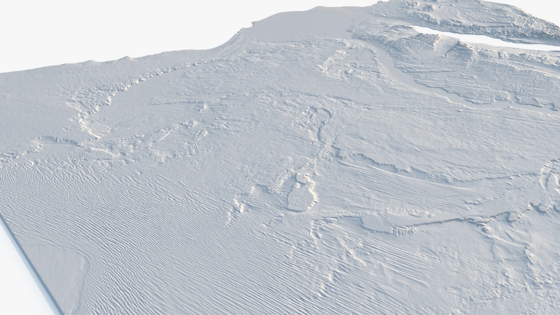
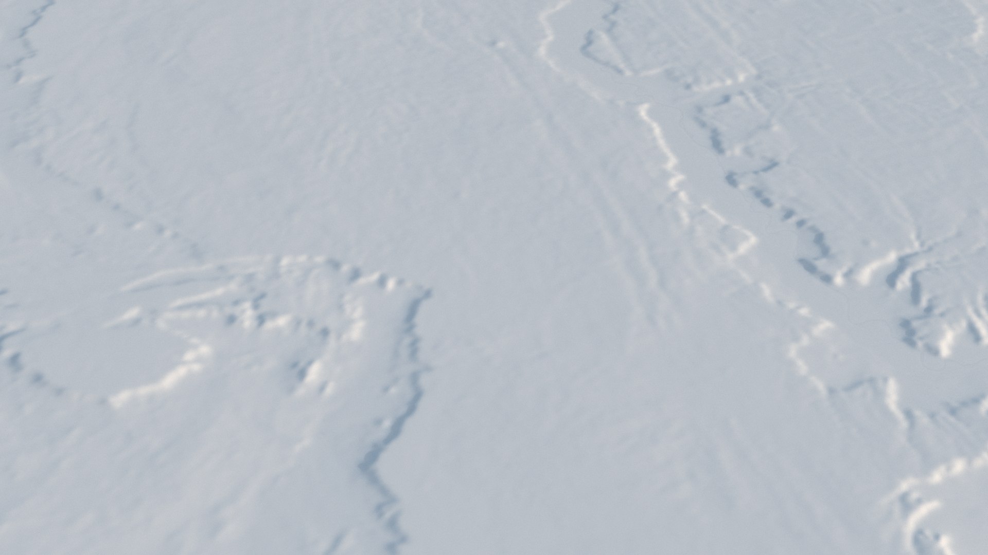
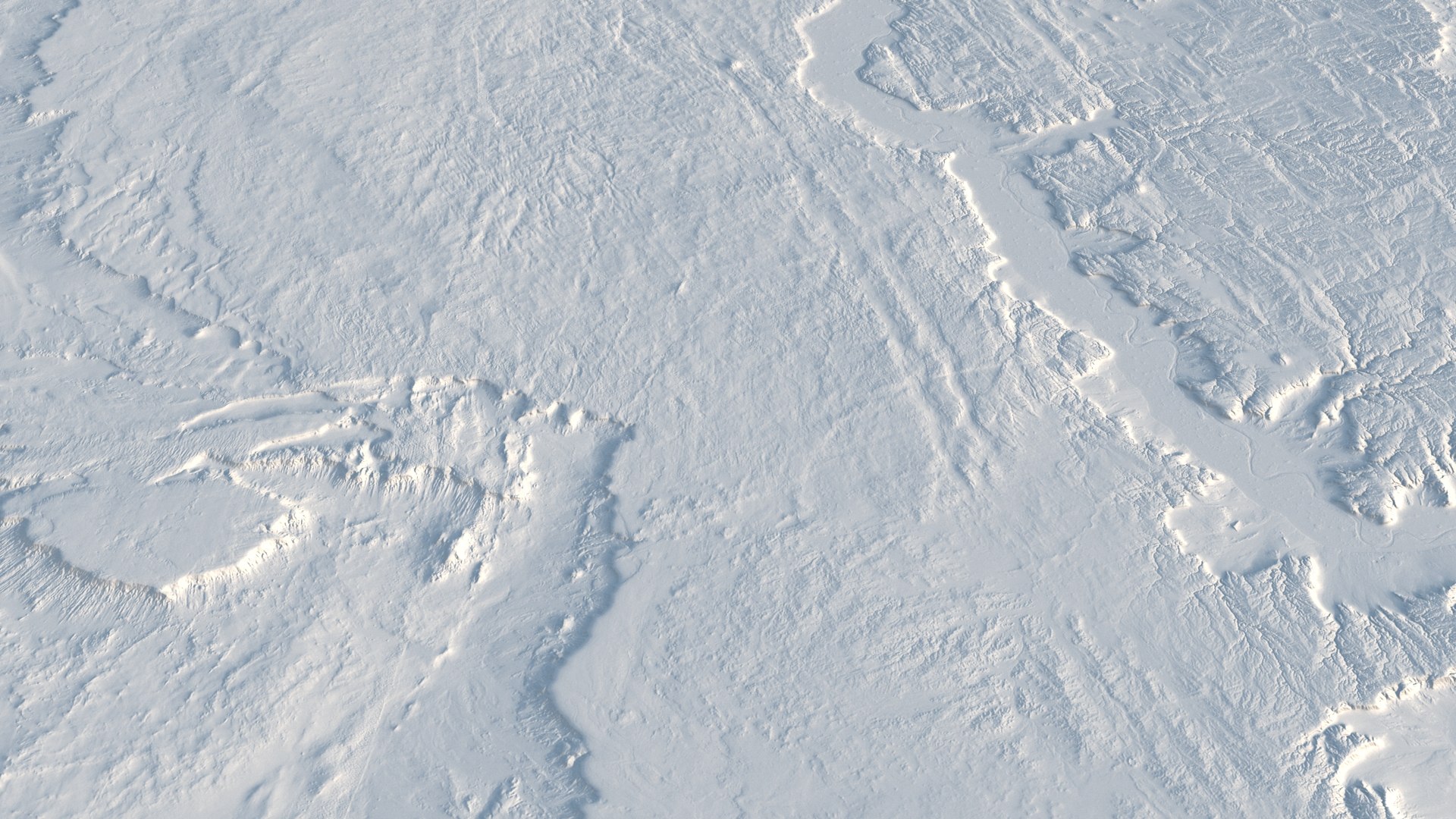
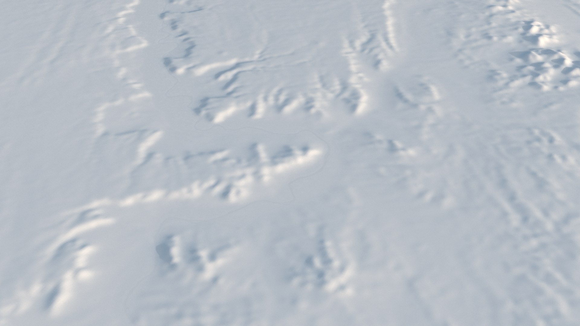
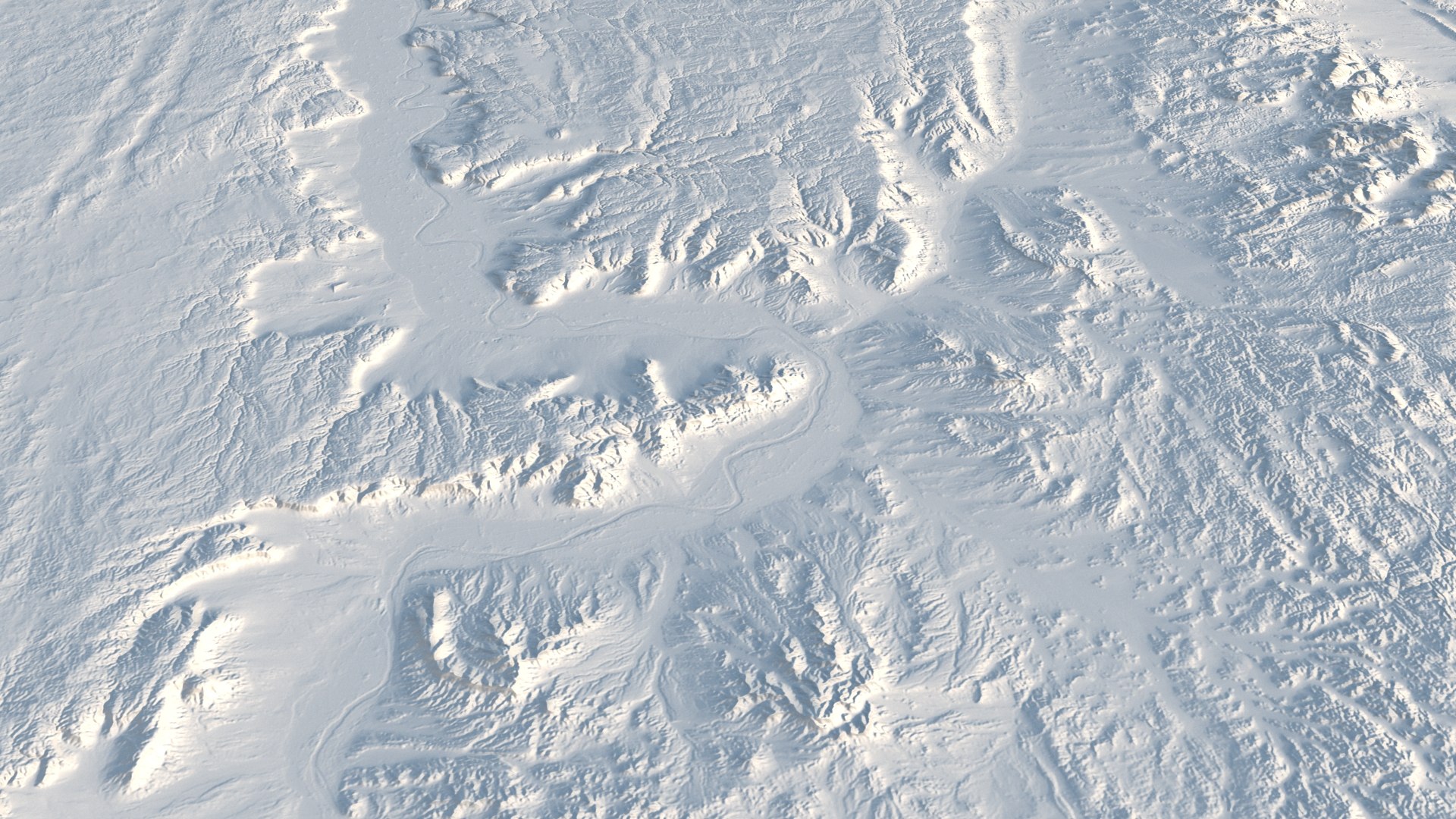
Egypt PBR realistic satellite relief map

$68

Formats (14)
Free file format Conversions available
Native | 3ds Max 2024 | V-Ray 6.0
Blender 3.4.1 | Cycles Render 1.0
Maya 2022 | Arnold 5.1.3.3
Maya 2022 | V-Ray 5
Cinema 4D 23008 | Arnold 4.3.1
3ds Max 2022 | V-Ray 5.20.23.2
3ds Max 2022 | Arnold 5.3.2.6
OpenUSD 2.0 | Other 4.2.14 LTS
Cinema 4D
3ds Max
OpenUSD
FBX SDK 2020.3
glTF 2.0
Other Files
Textures_8K.zip
Specifications
Publish Date November 11, 2026
Product ID 2650418
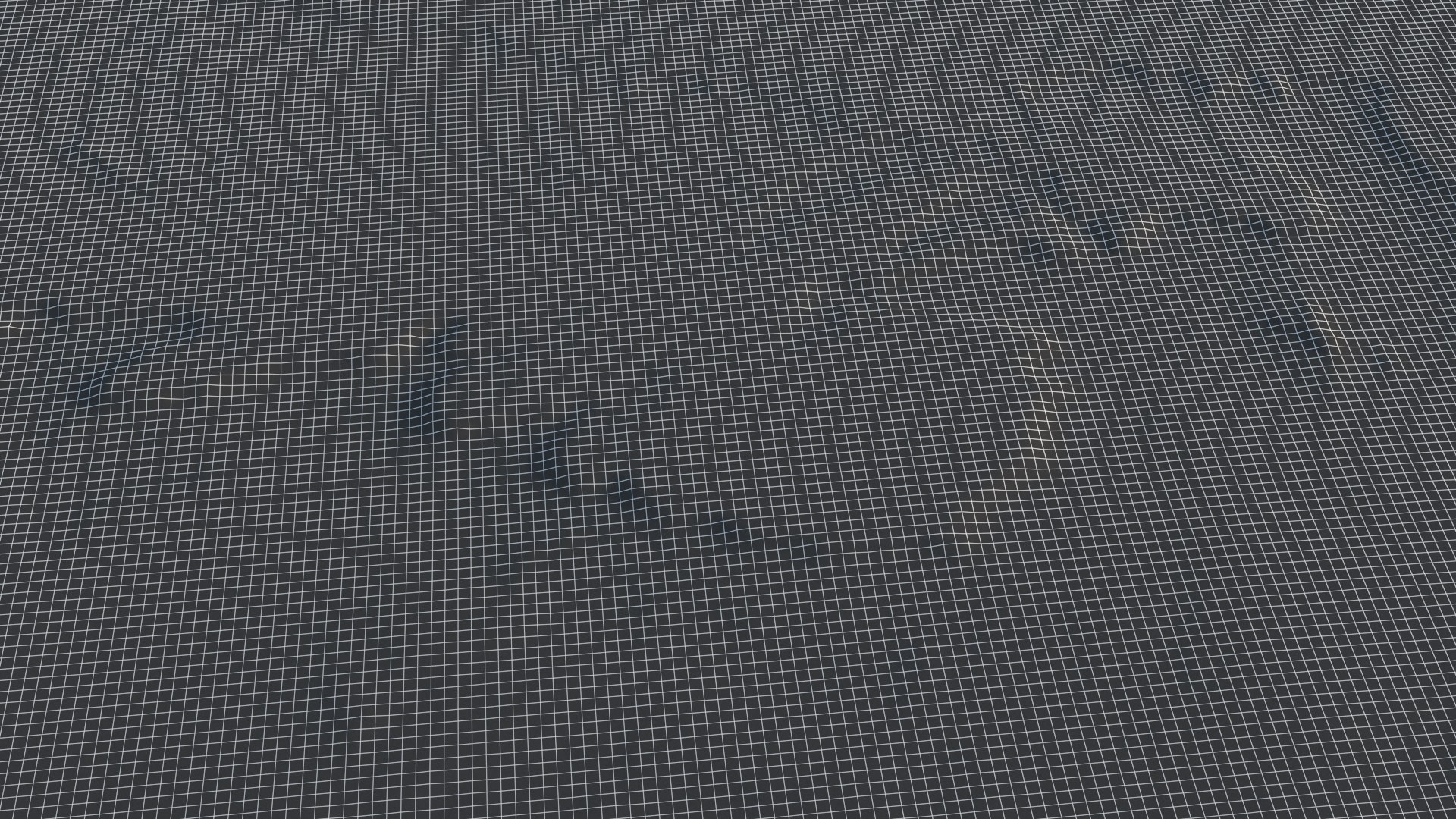
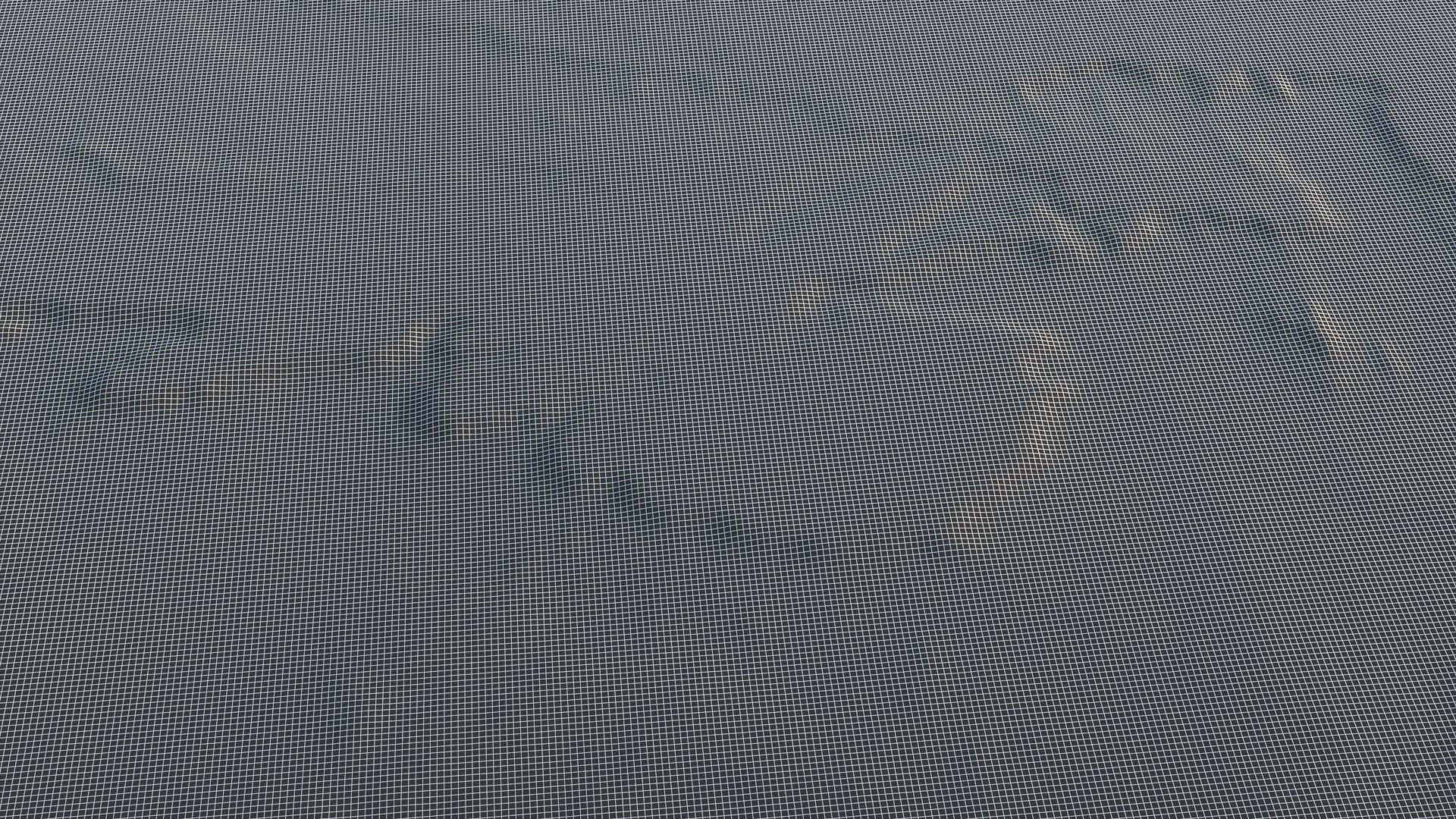
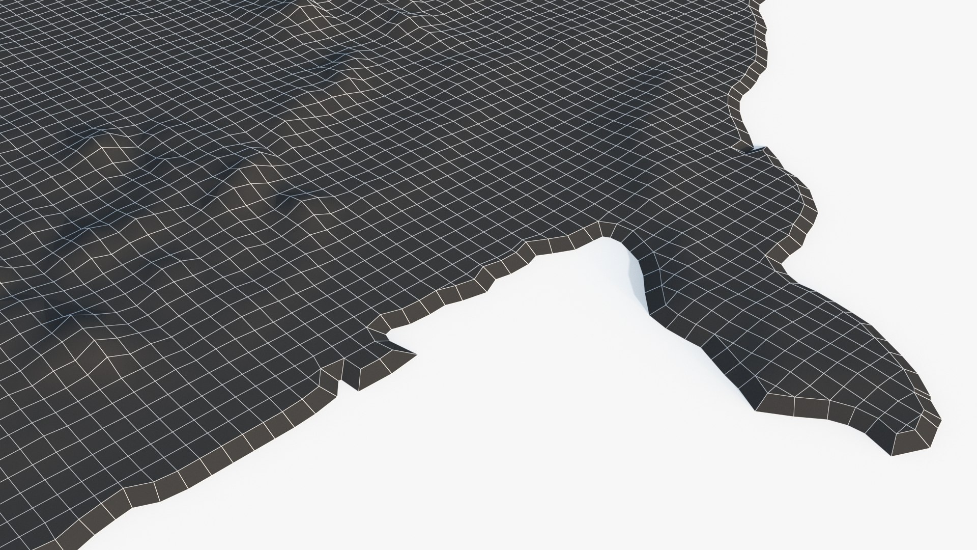
Polygons 501,528
Vertices 502,827
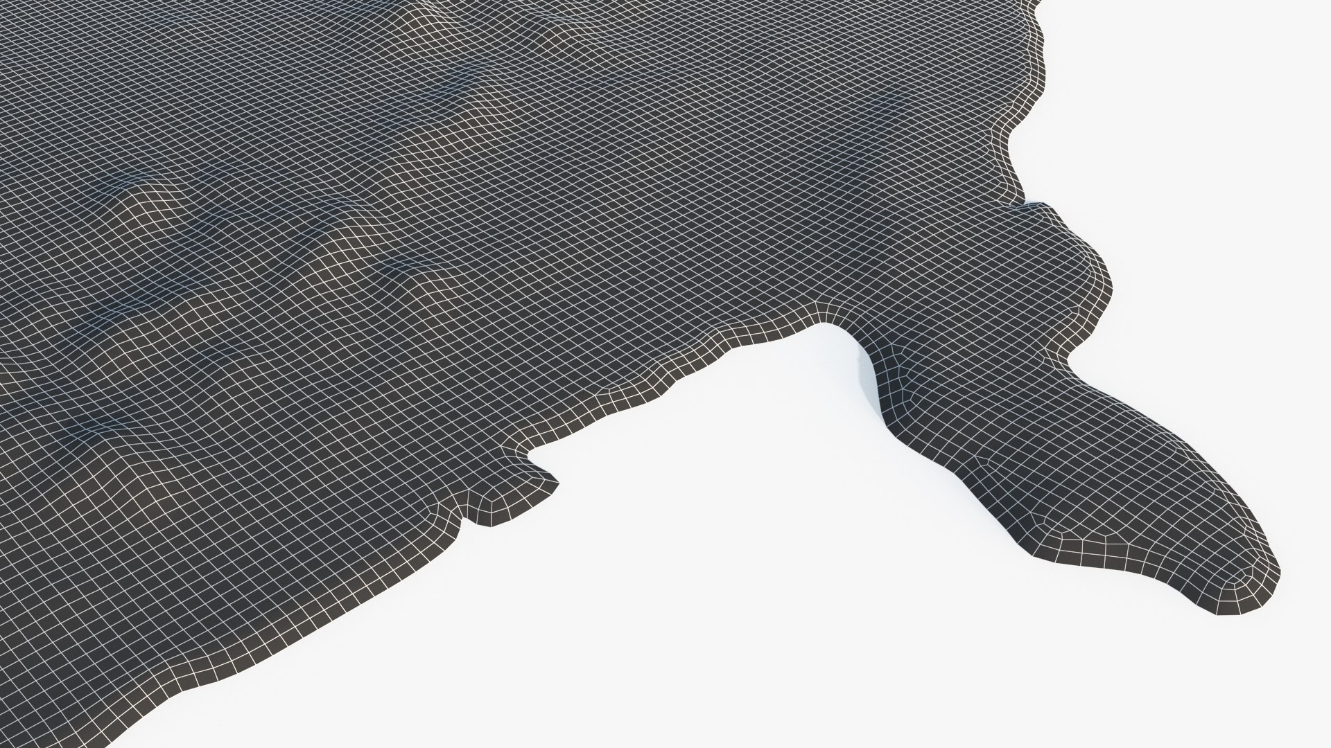
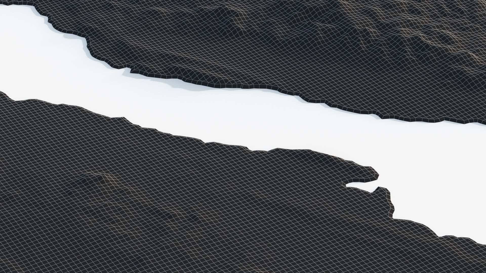
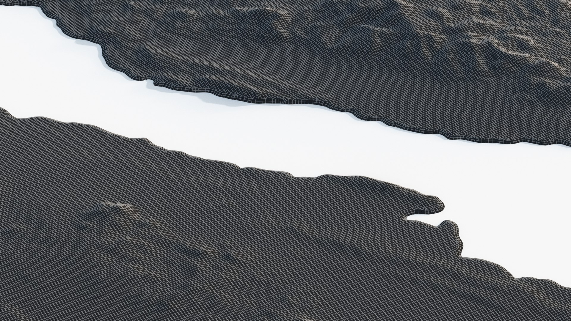
Polygonal Quads Only
Textures
Materials
UV Mapped
Non-overlapping Unwrapped UVs
StemCell Certified

member avatar
GeoMesh_Studios
393 Products | Contributor Since 2026
Have questions? Chat with us now.

Description

Professional 3D Map & Terrain Model

1. Data & Accuracy

This model is created using high-quality Copernicus Global DEM data at 30-meter resolution, providing rich terrain details and realistic geographical features.

The map uses the Mercator projection and is built from authoritative Natural Earth country boundary vector data, ensuring accurate geographical proportions and reliable country outlines.

To enhance visual presentation and highlight terrain features, elevation data has been moderately exaggerated while maintaining the relative elevation differences between regions.

2. Model Features

High-Quality Model.

Clean & Well-Structured Topology: Professionally optimized polygonal quad topology, featuring clean geometry and consistent polygon sizes.

Quality Assured: The model has undergone multiple rounds of inspection and verification to ensure reliable geometry and consistent quality.

TurboSmooth Ready: Includes a TurboSmooth modifier, which can be enabled or disabled according to your project requirements.

PBR Materials: Uses industry-standard Physically Based Rendering (PBR) materials with the Metallic-Roughness workflow, ensuring realistic and high-quality rendering results.

3. Textures & Maps

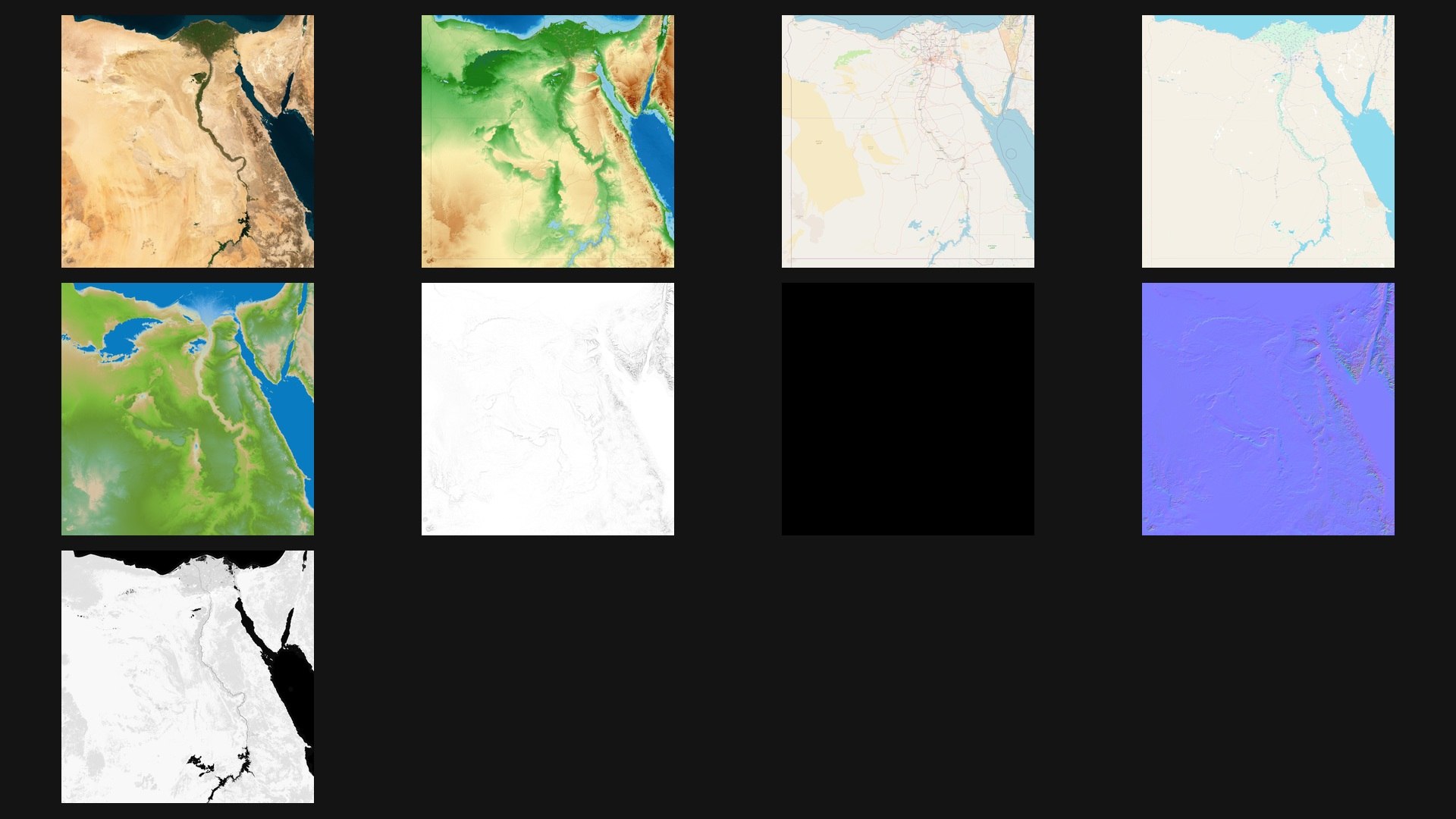
Includes a complete set of high-quality 8K resolution, 8-bit PNG textures:

Base Color (5 Maps)

1 × Satellite

3 × Street Map

1 × Topographical Map

Additional PBR Maps

Roughness

Metallic

Normal (OpenGL Y+ / MikkTSpace)

Ambient Occlusion (AO)

All textures are provided in high-resolution PNG format for excellent visual quality and flexibility in different rendering workflows.

4. Rendering & Presentation

All preview renders are produced in 3ds Max using V-Ray, following a standard Linear Workflow.

No additional post-processing has been applied, including exposure adjustments or tone mapping. The renders showcase the model and materials as they appear in the actual rendering environment.

Explore More 3D Map & Terrain Models

Looking for more professional 3D map and terrain models?

Visit my seller profile to explore our extensive collection of high-quality geographical models.

We are professional 3D terrain modeling specialists, dedicated to developing comprehensive series of detailed and accurate 3D map models.
Categories

Select Enhanced License

  • $10,000 in Legal Protection (Indemnification)
  • Uncapped Legal Protection (Indemnification)
  • Waiver from injunctive relief
  • Assignable model rights
  • $1,000,000 in Legal Protection (Indemnification)
  • Waiver from injunctive relief
  • Assignable model rights
  • $250,000 in Legal Protection (Indemnification)
  • Assignable model rights
Read more about enhanced license tiers, or contact us at enterprise@turbosquid.com. Already a Shutterstock Enterprise Customer? Contact your Shutterstock Sales Support Agent to talk about adding 3D.

About Conversion Requests

To submit a conversion request for a purchased asset, please complete our Conversion Request Form.

If you have not yet purchased a model, please review our Documentation about Conversions to learn about what limitations you may encounter with a conversion.

For any additional questions about a model’s suitability for conversion, please contact TurboSquid Support.

Loading...