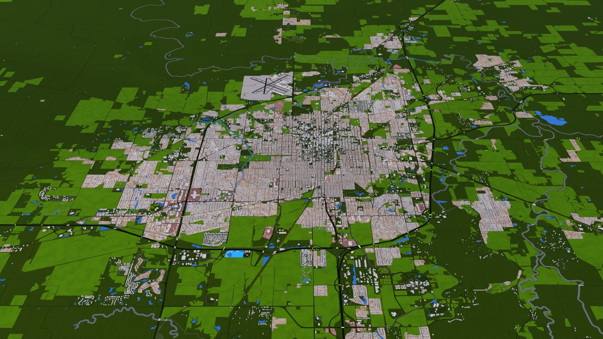
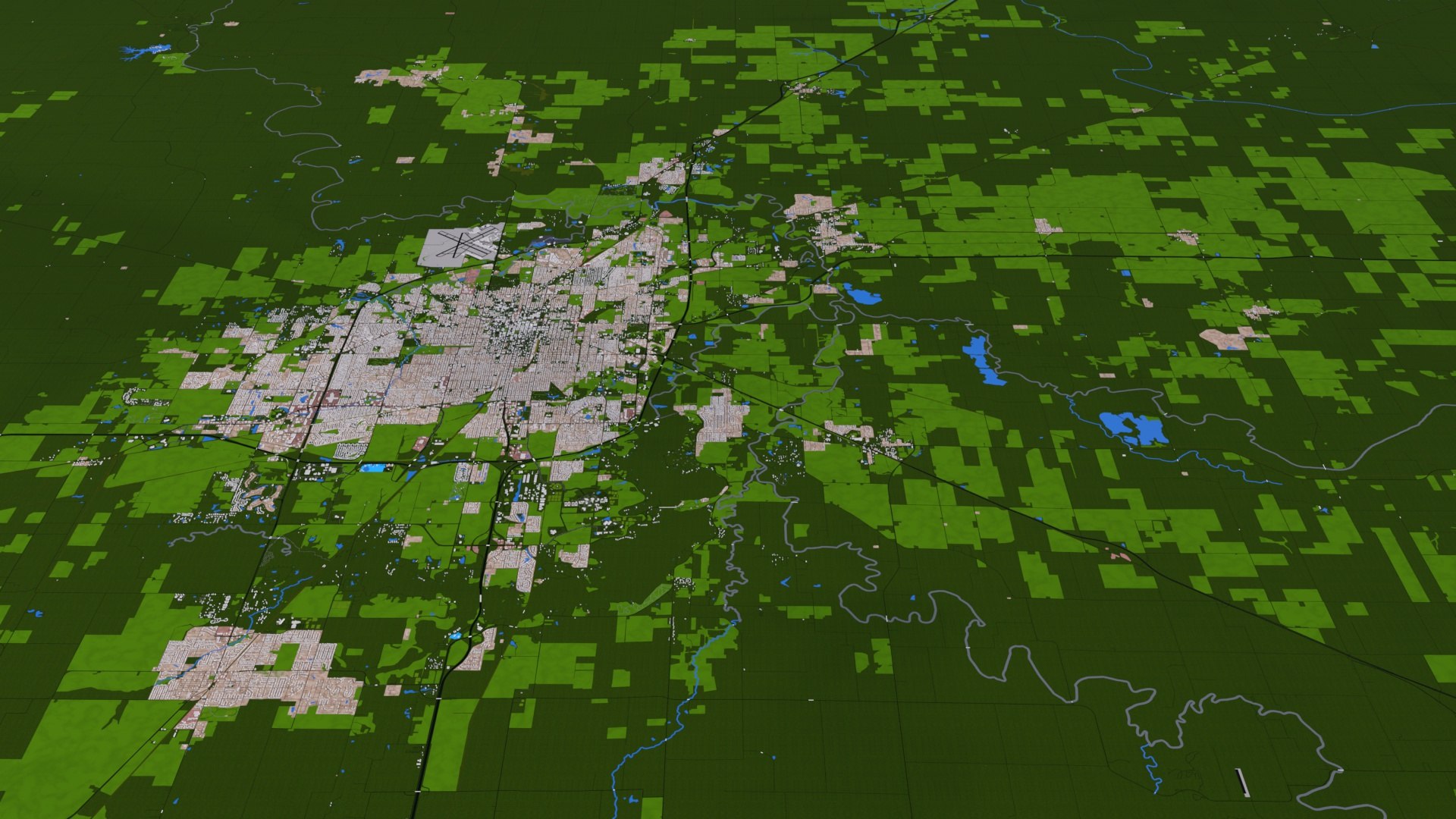
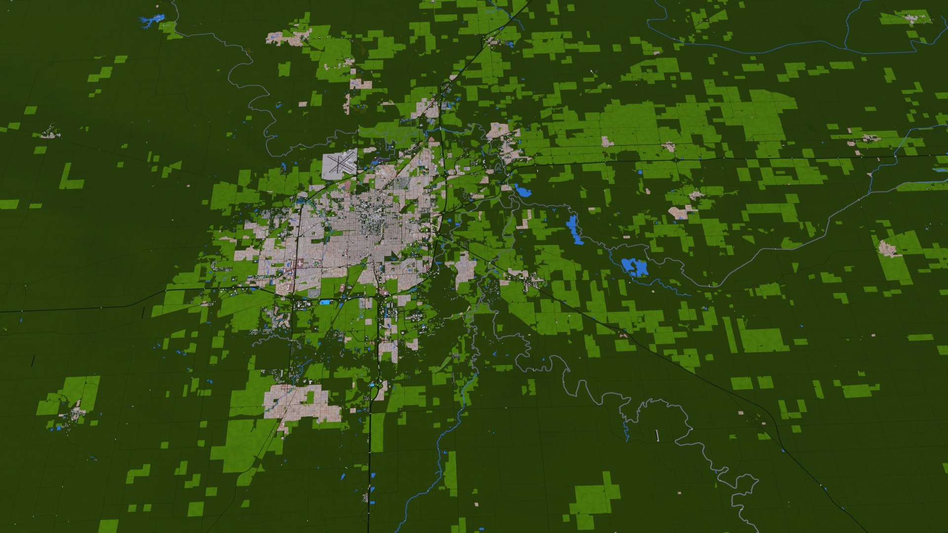
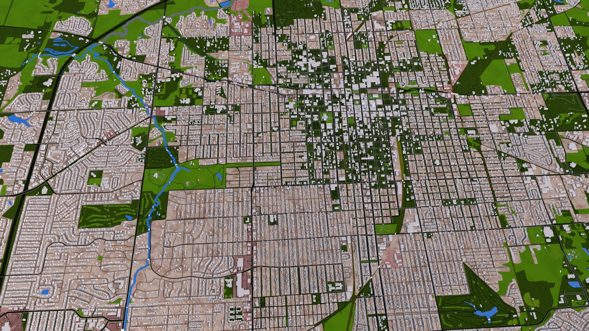
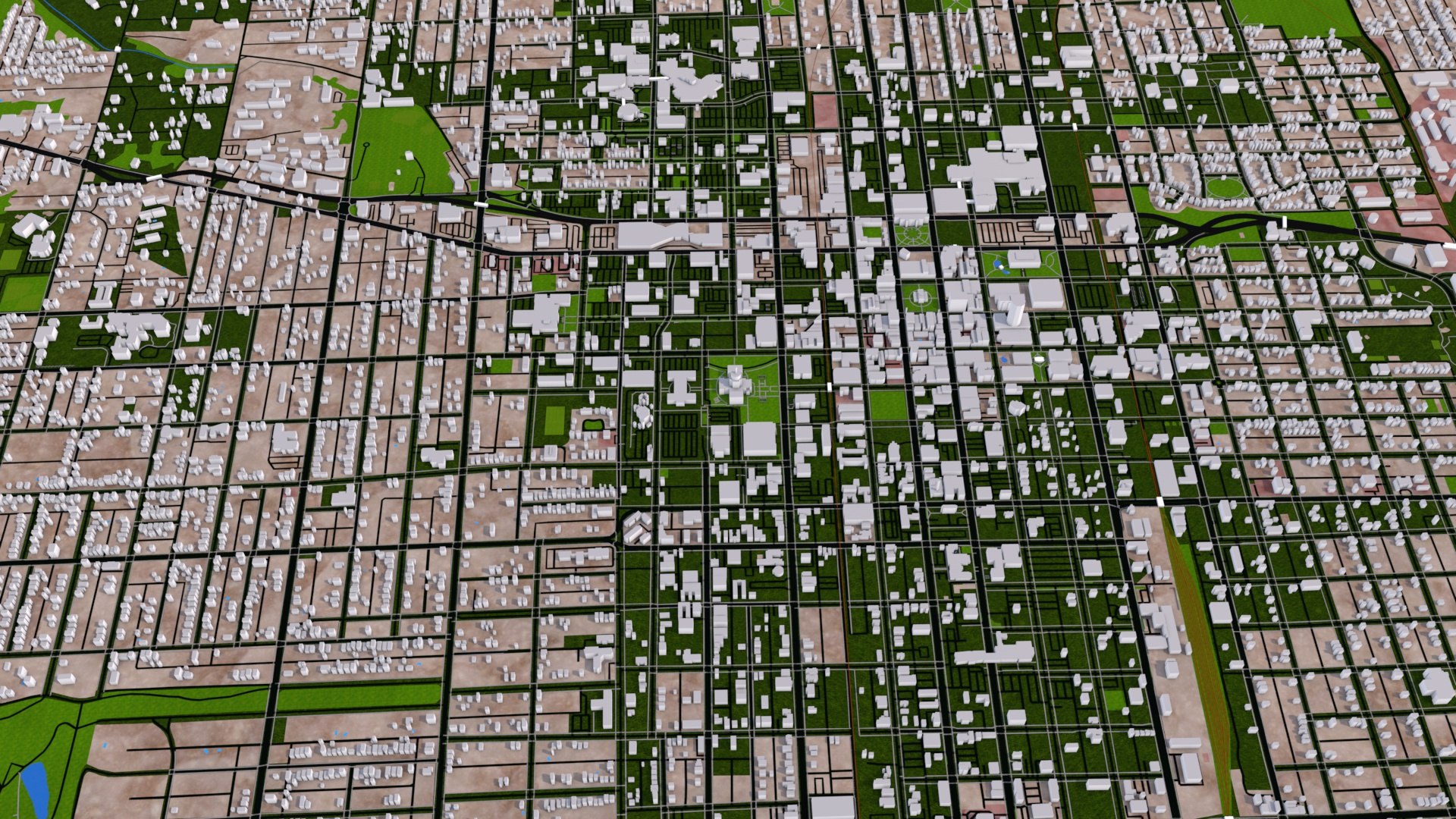
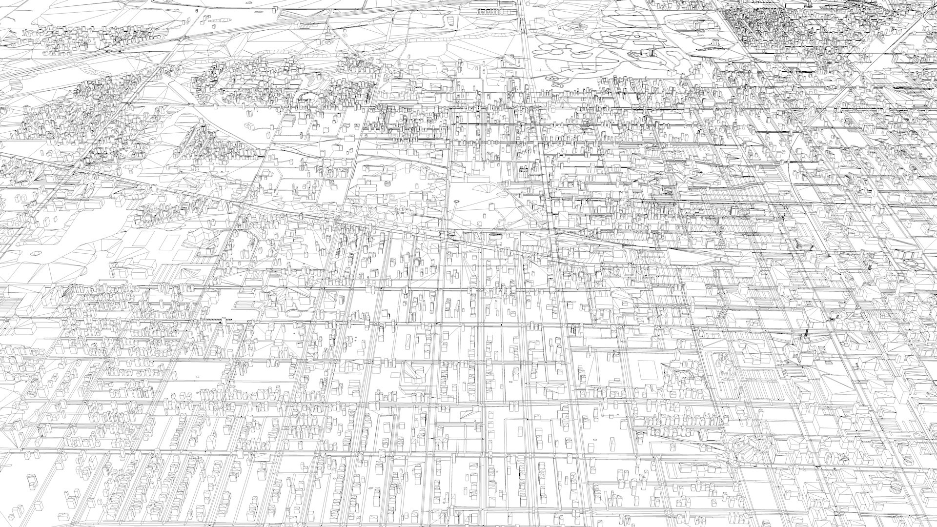
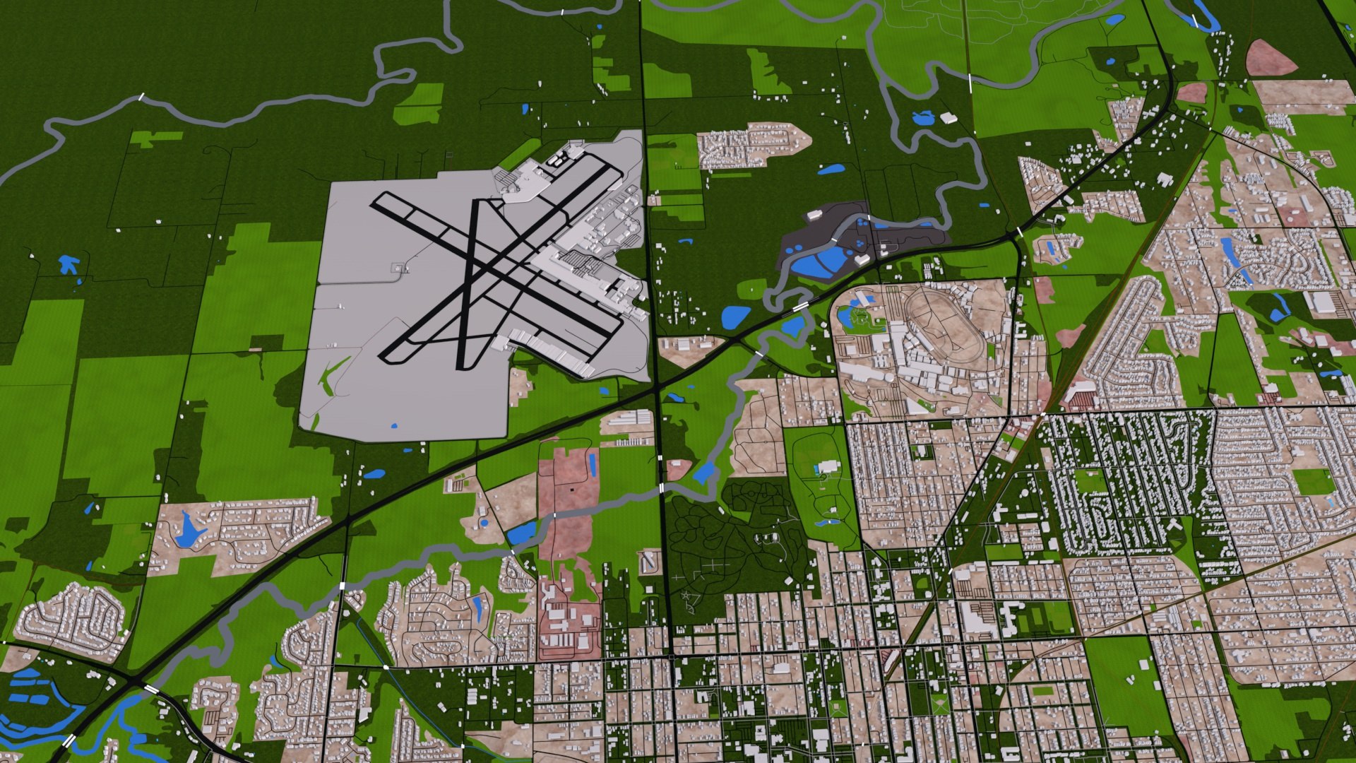
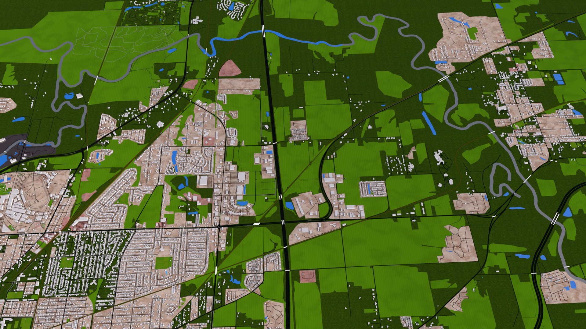
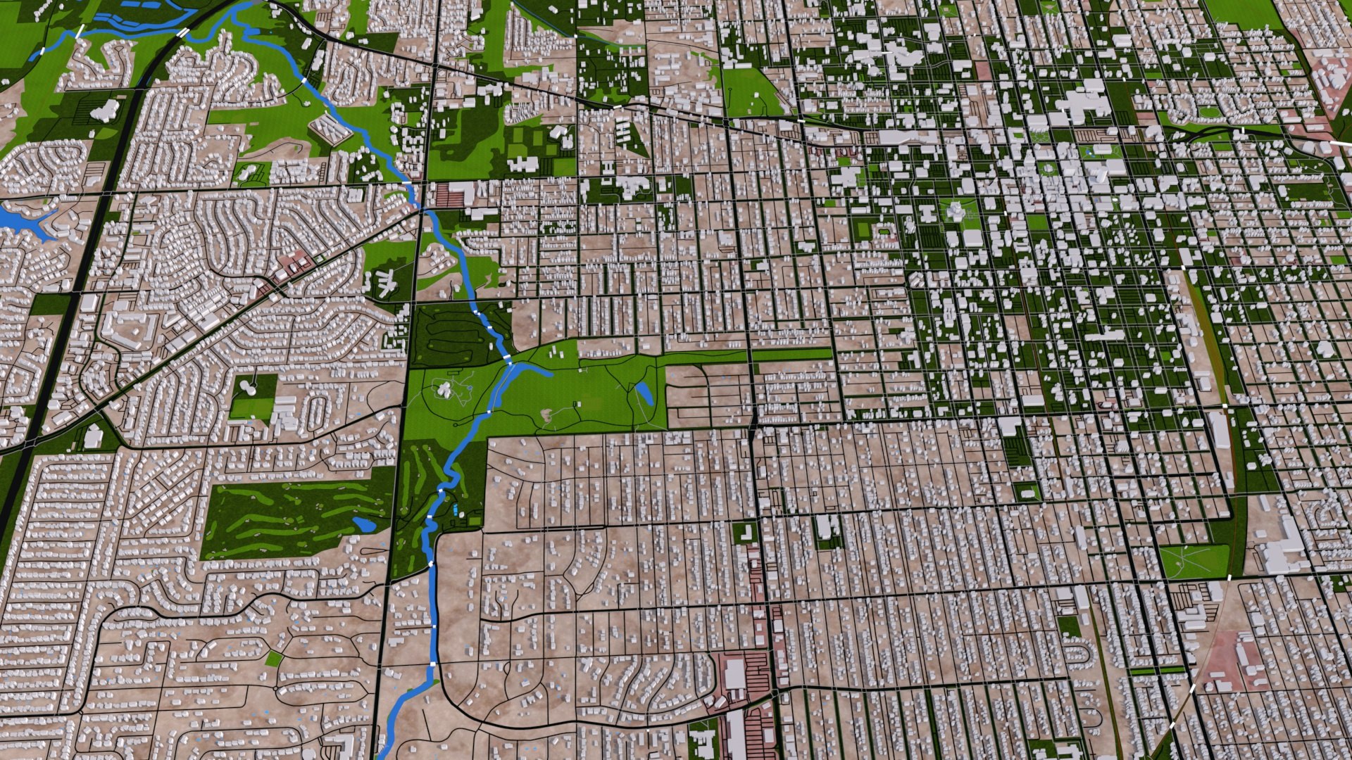
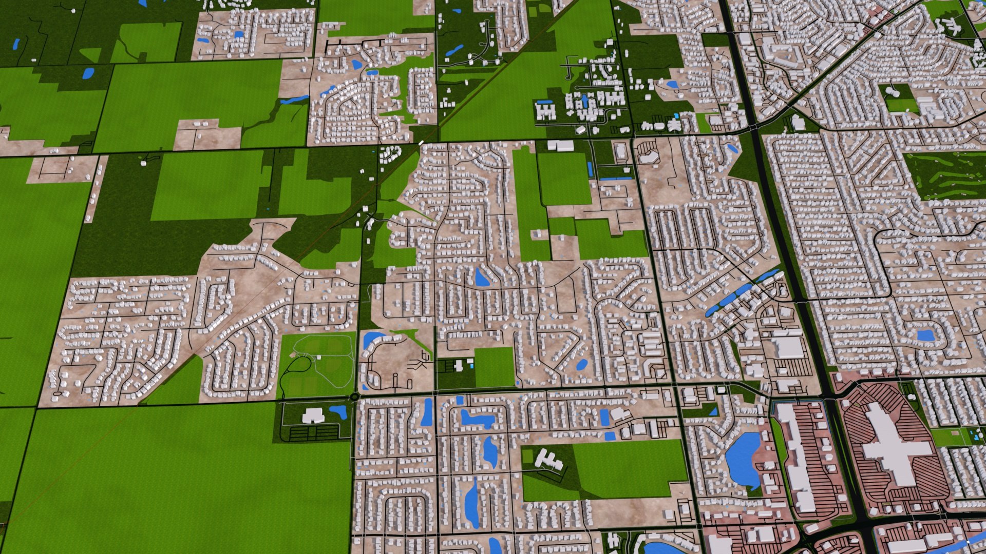
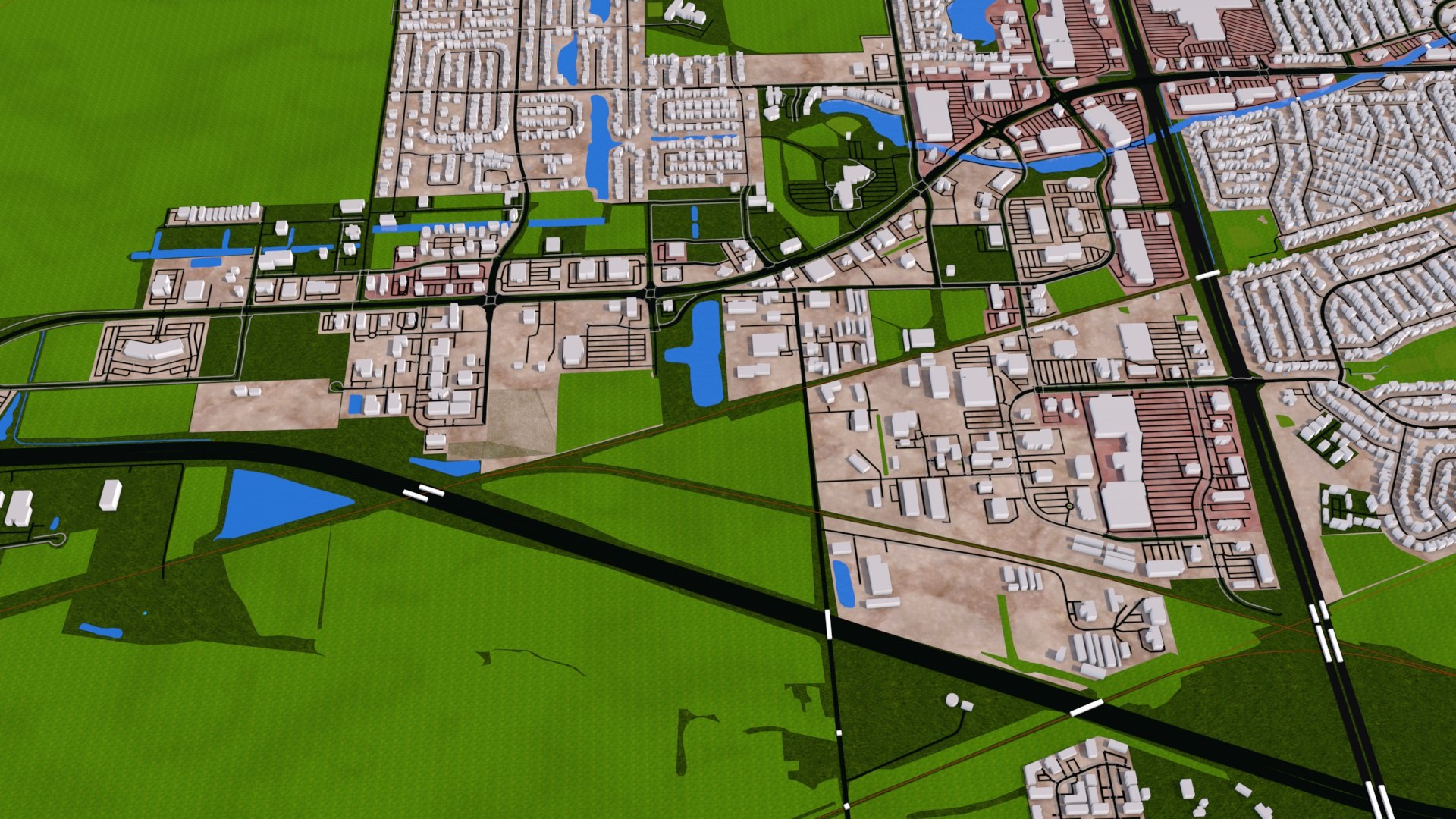
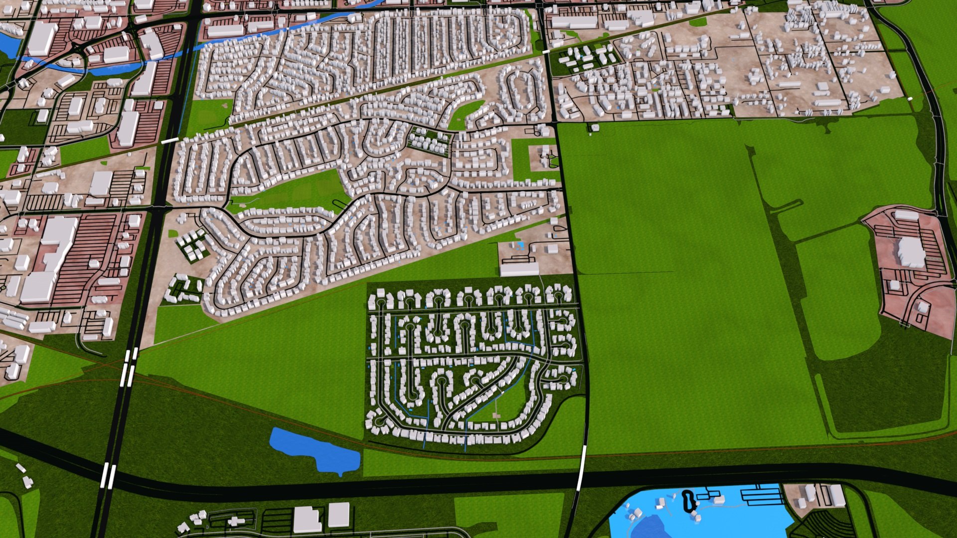
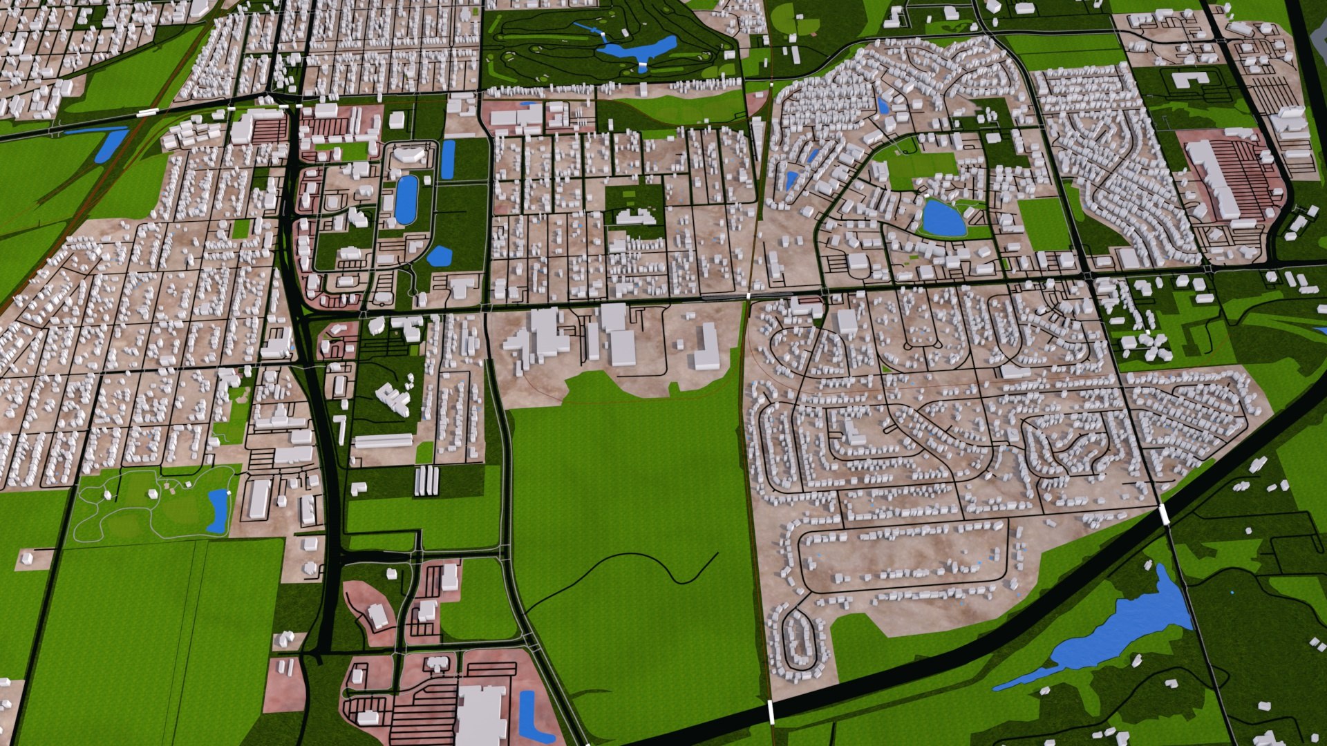
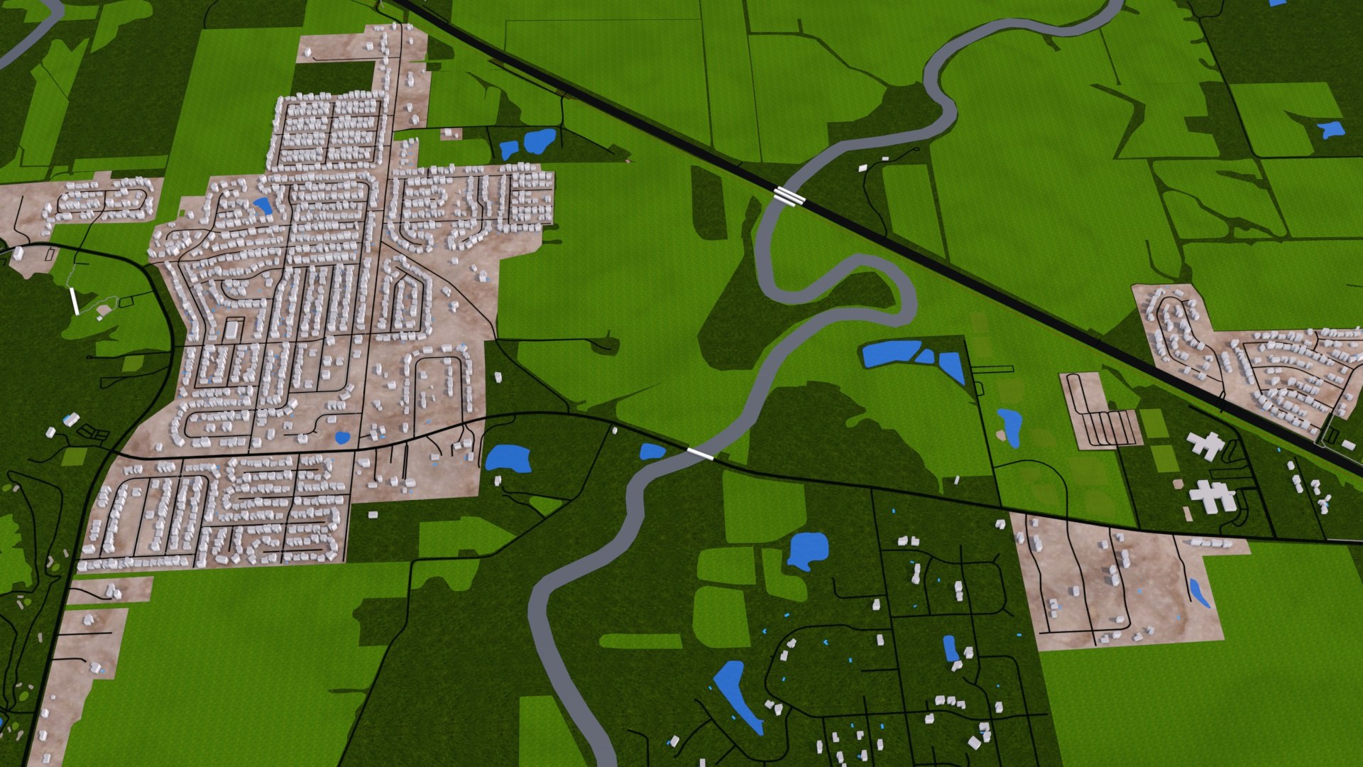
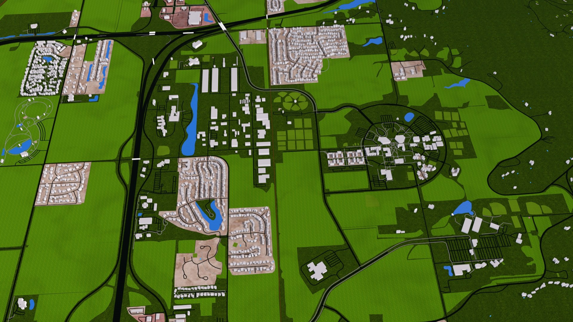
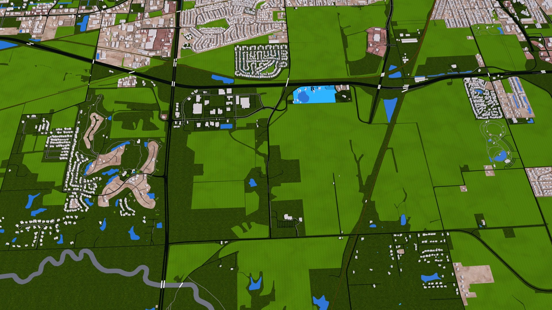
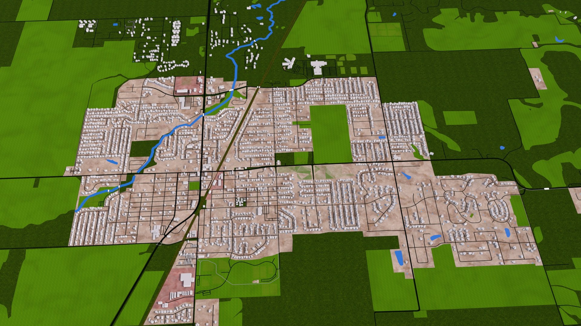
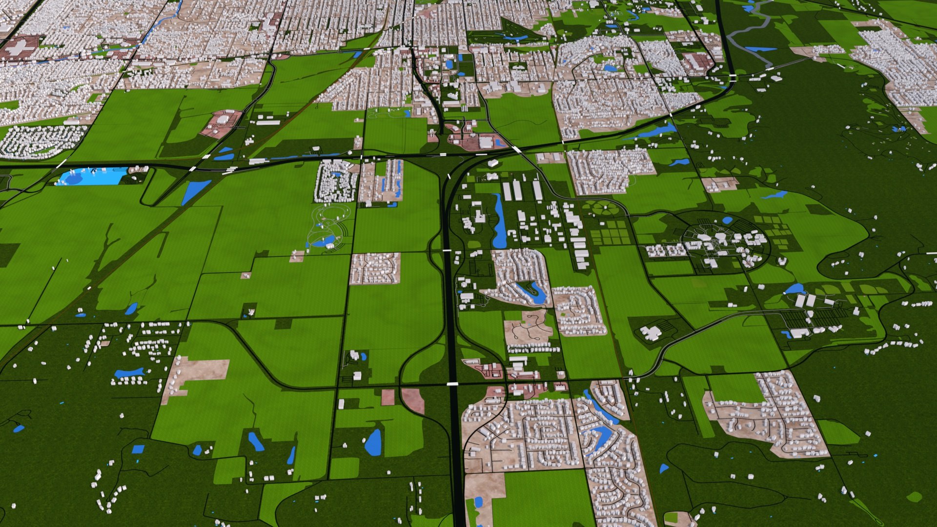
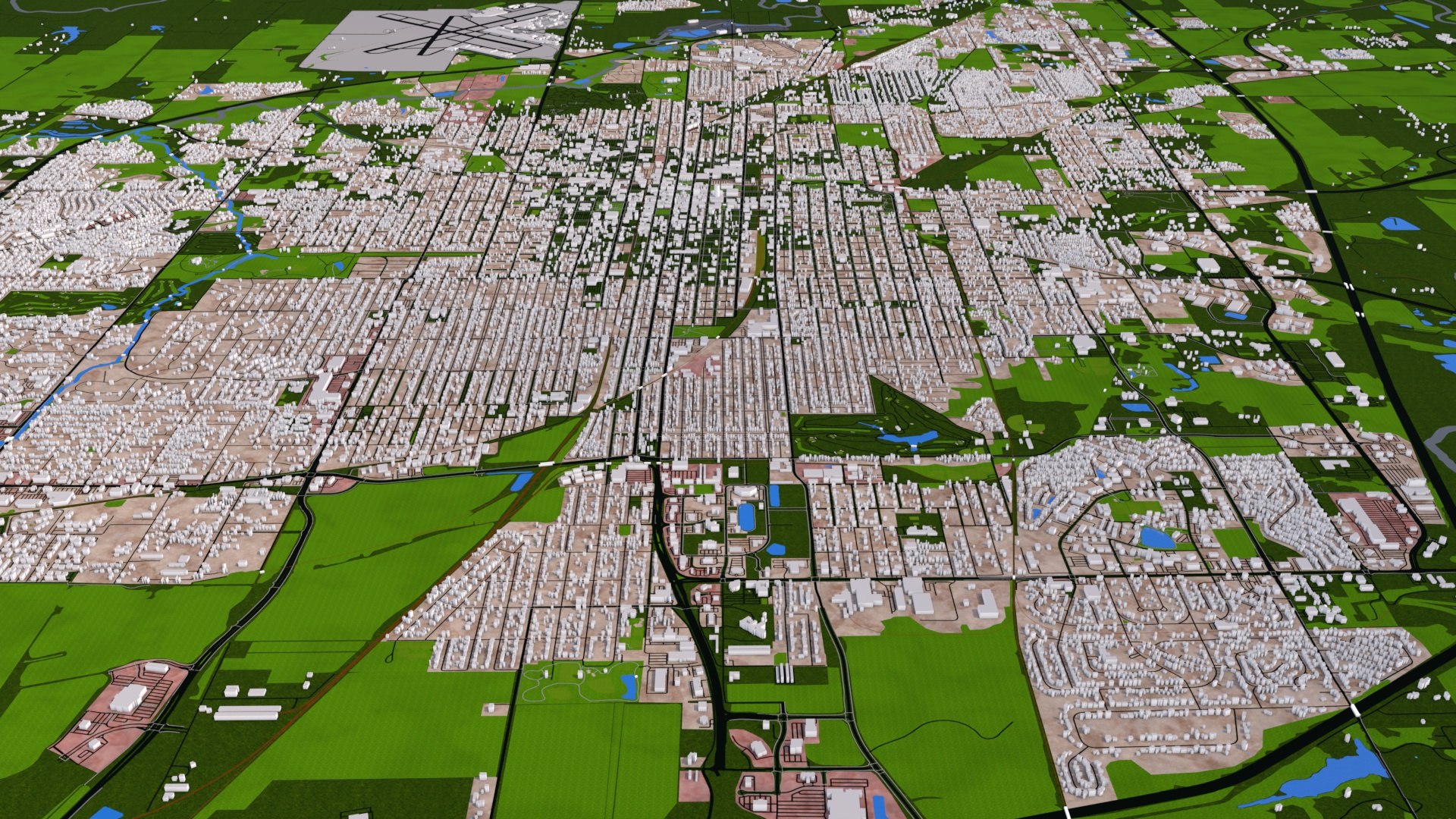
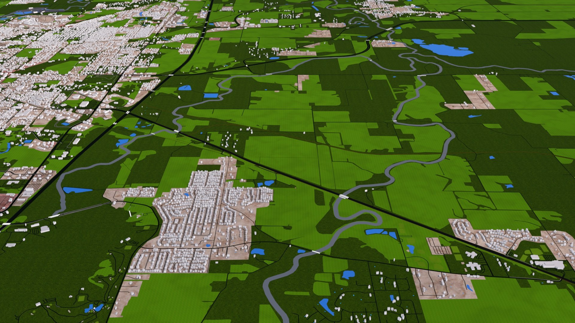
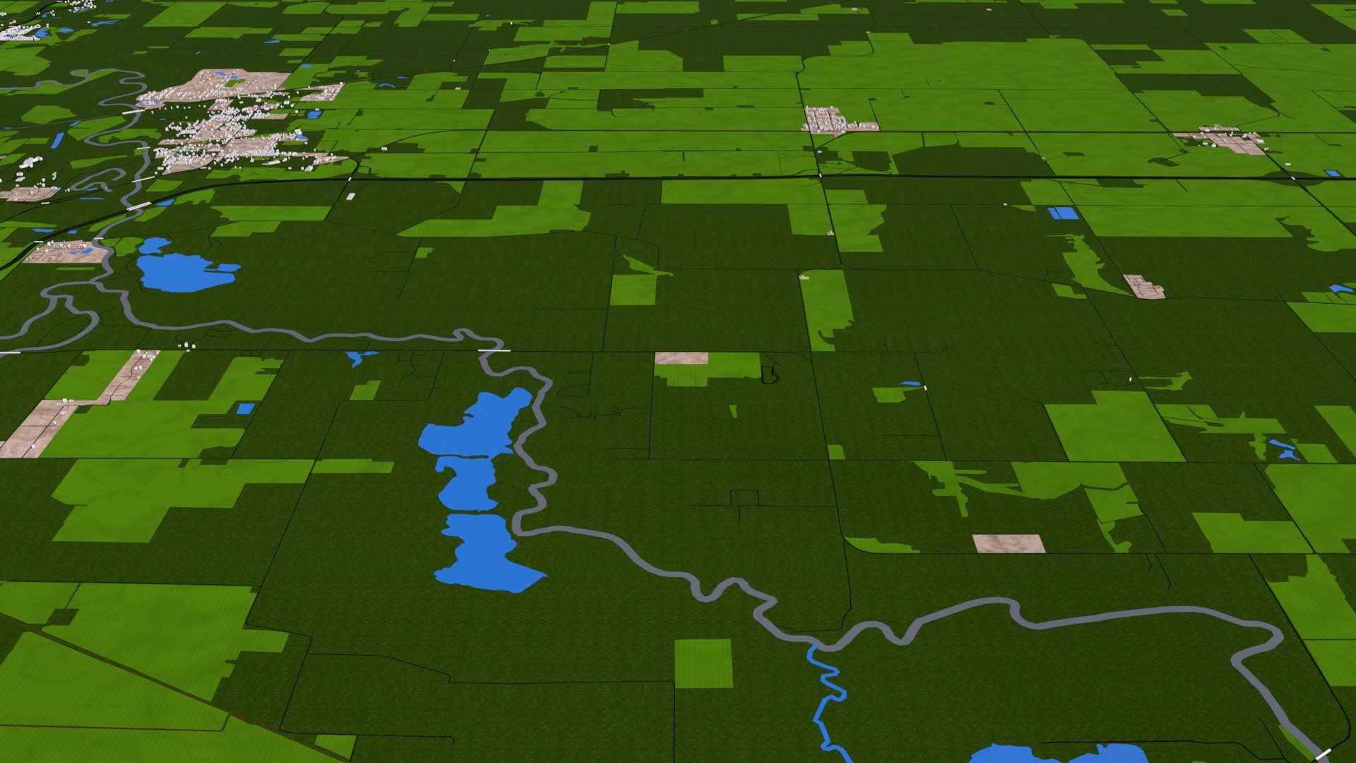
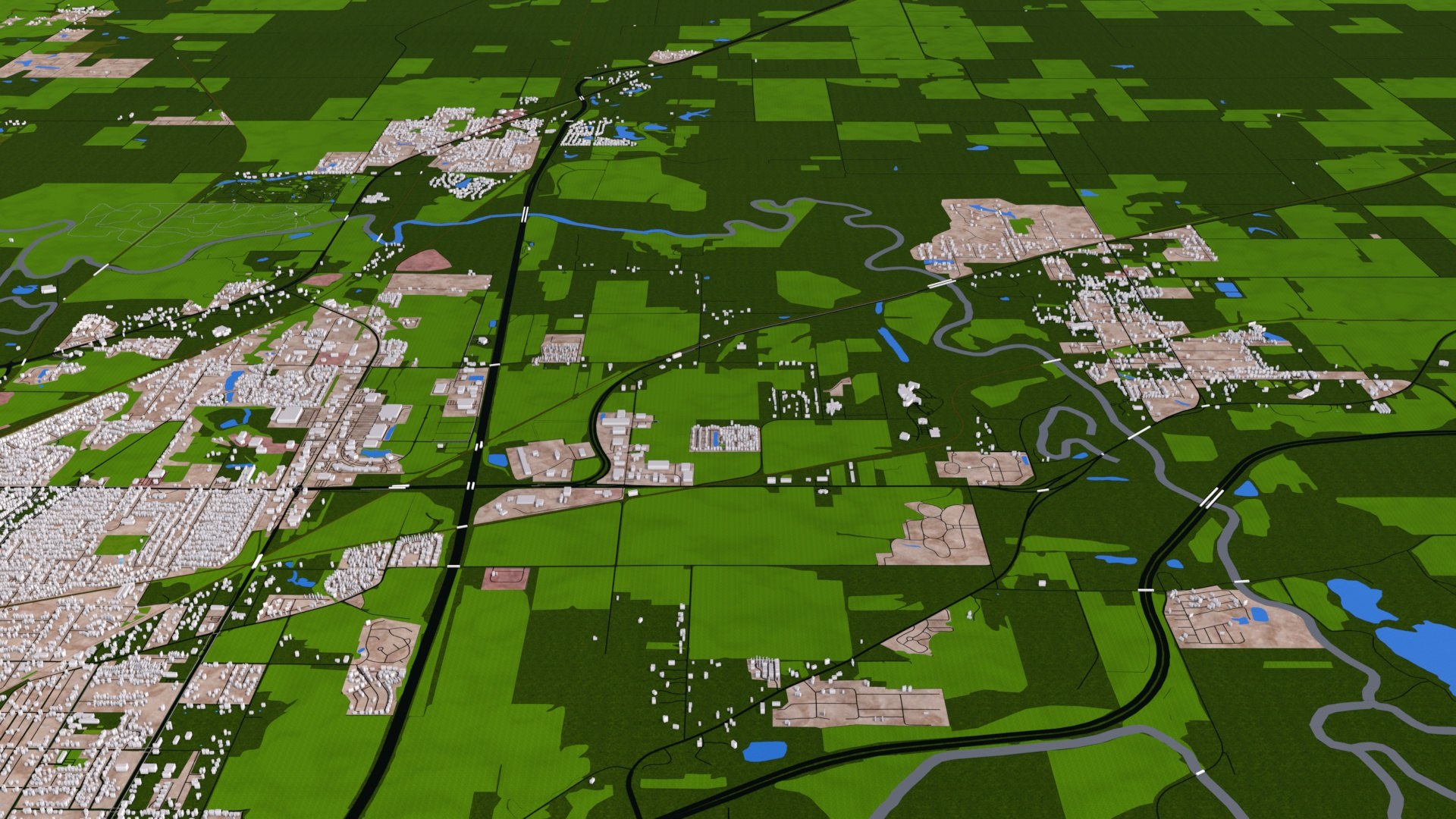
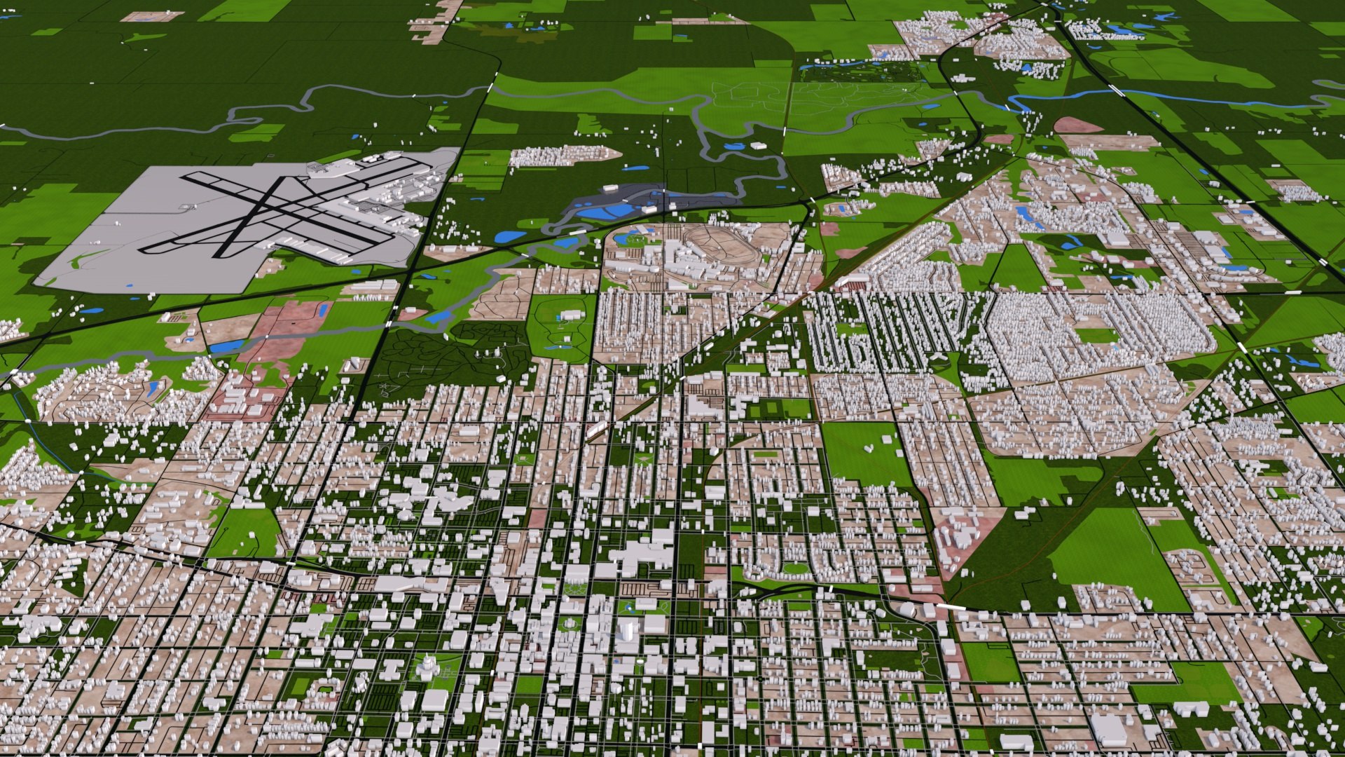
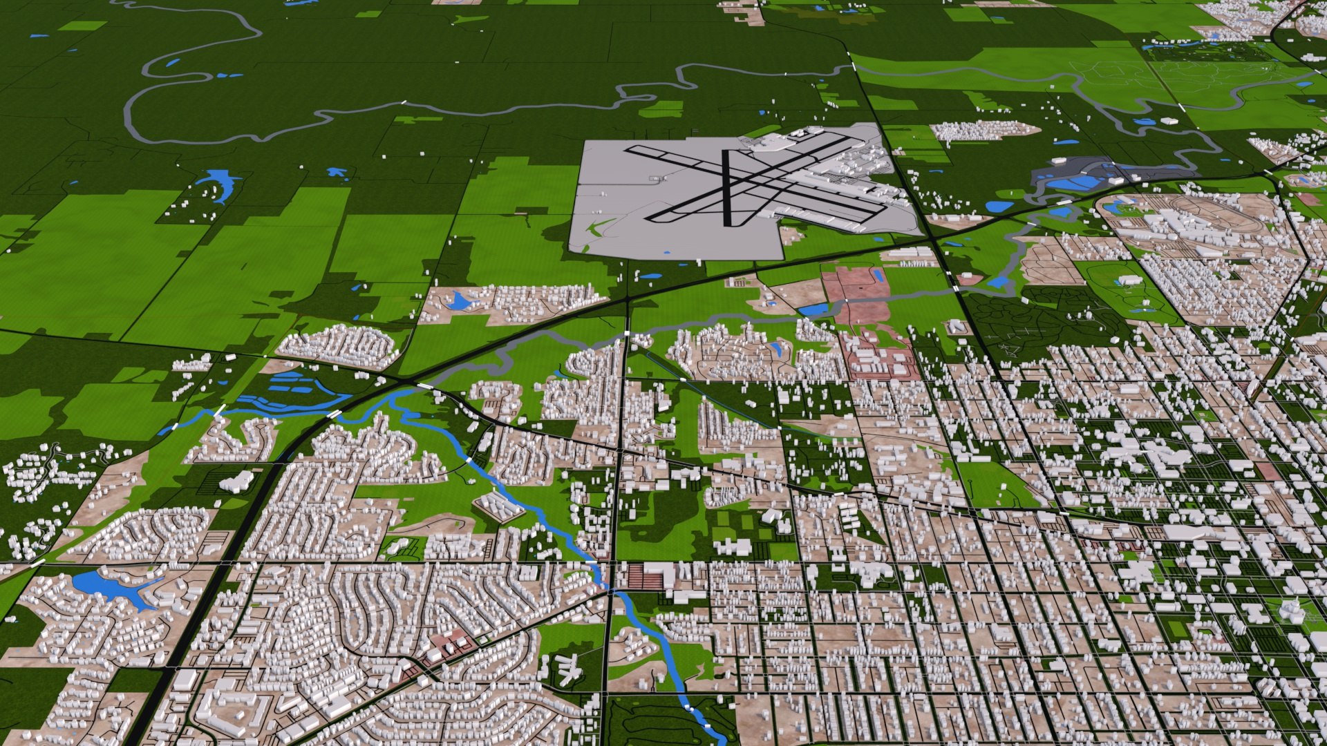
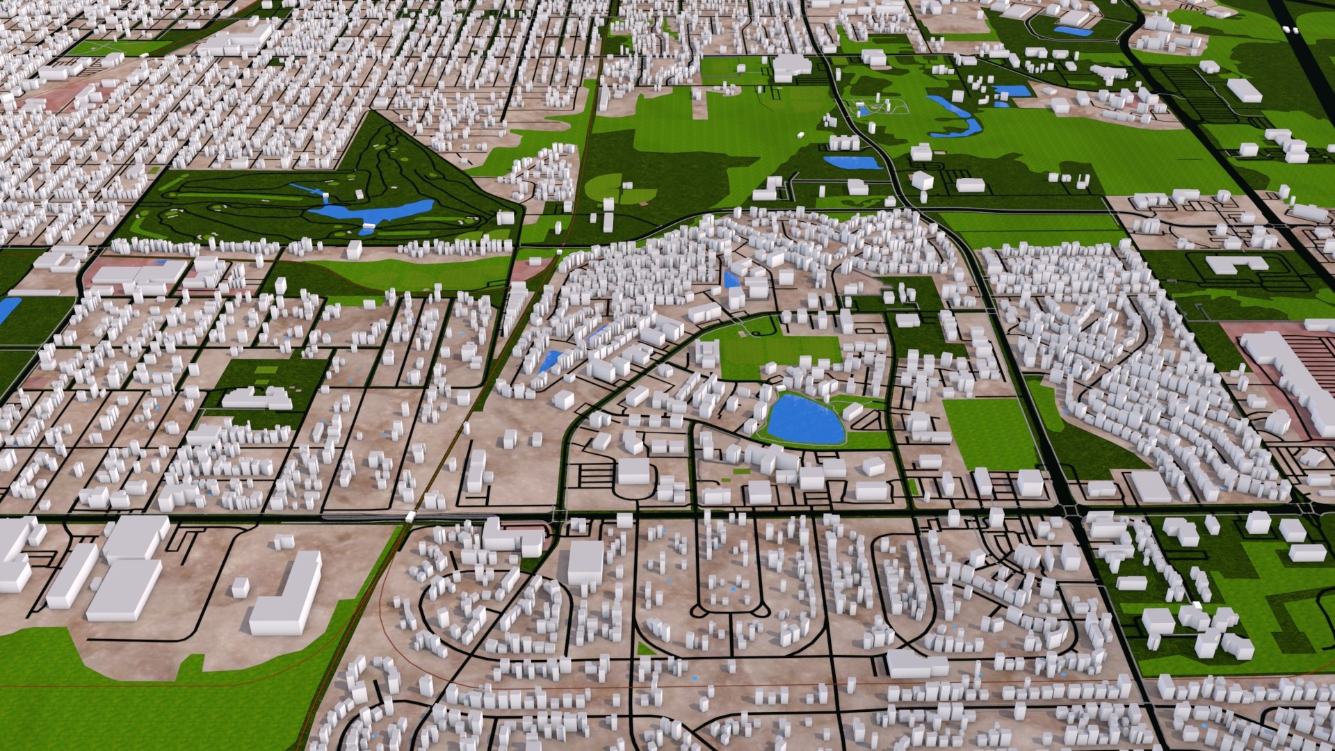
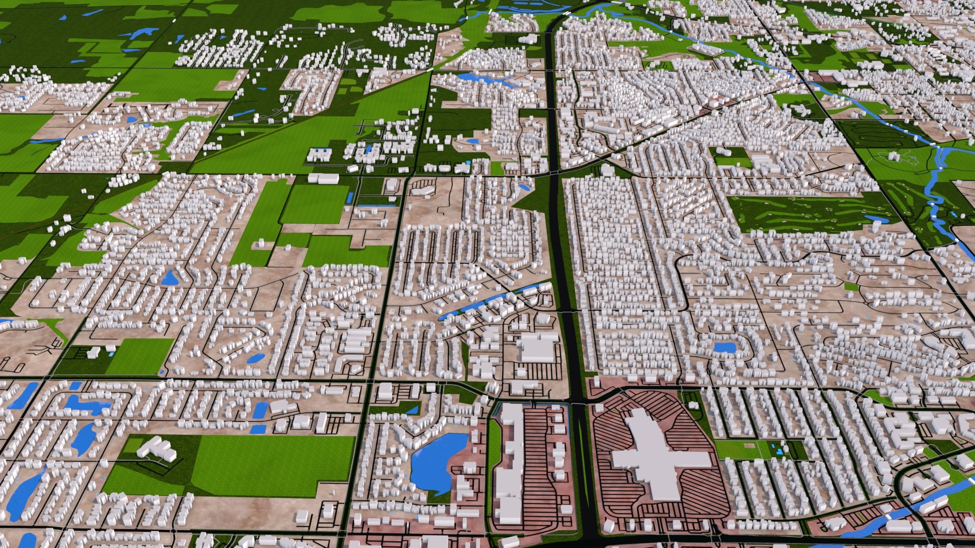
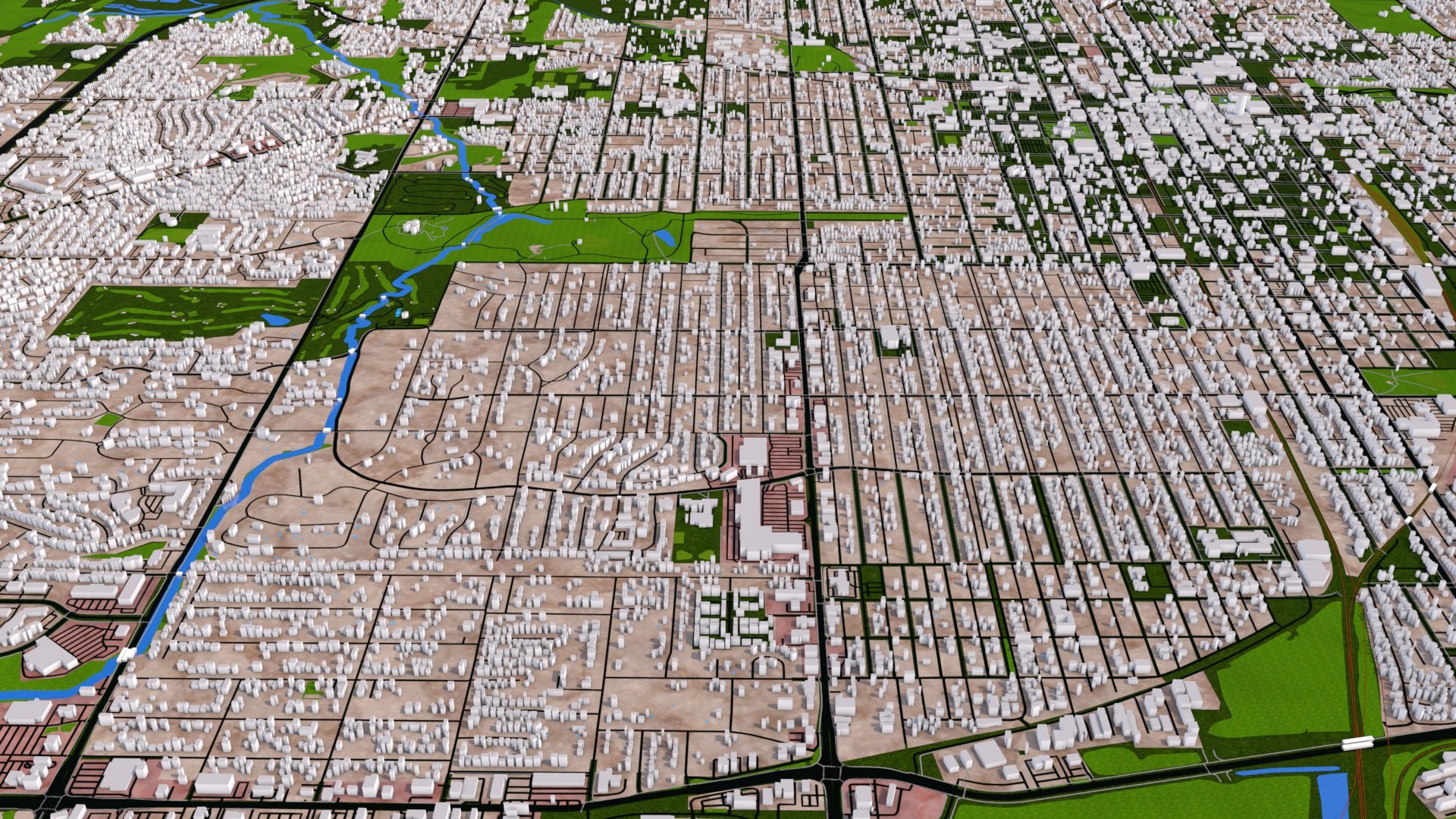
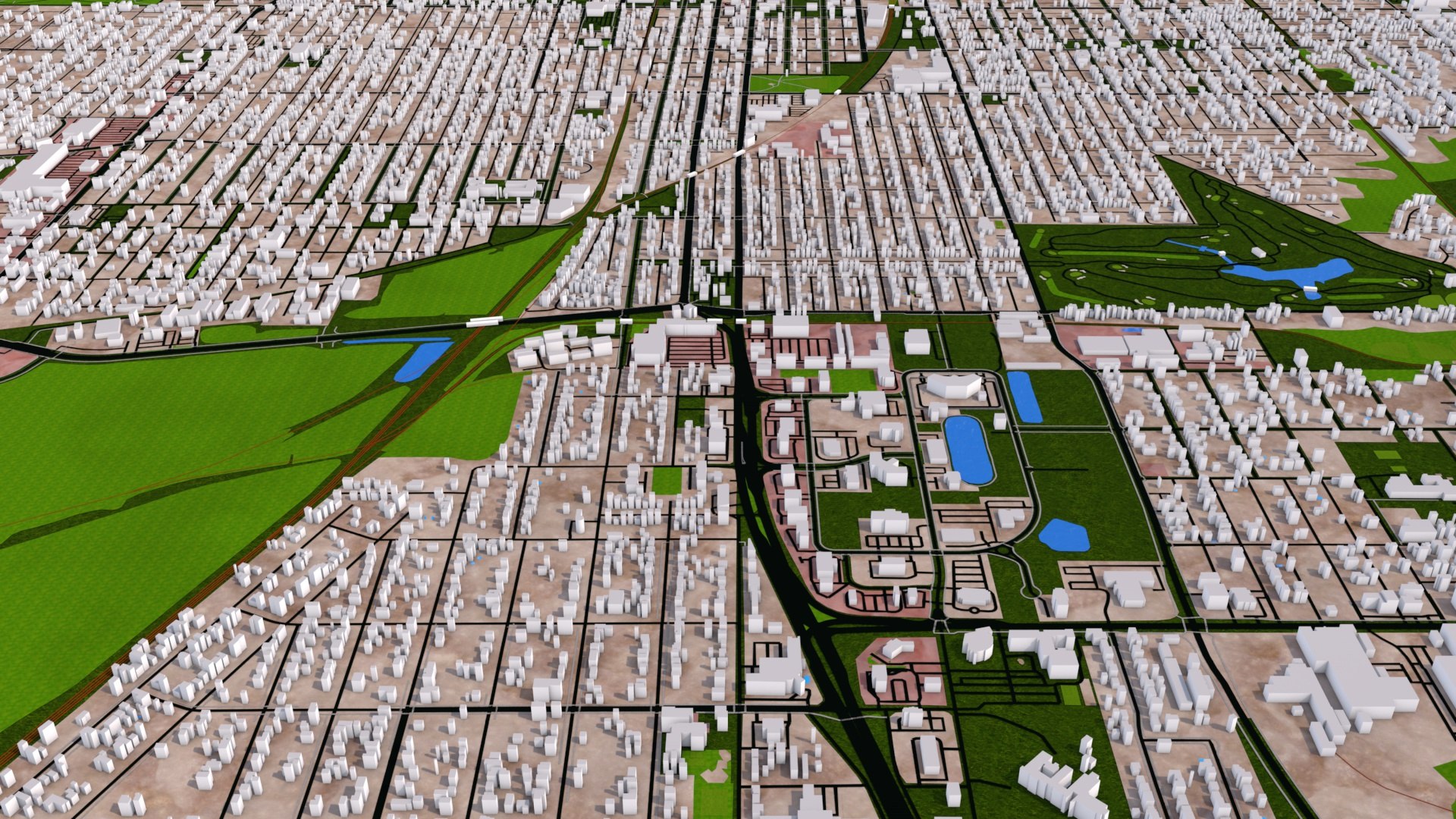
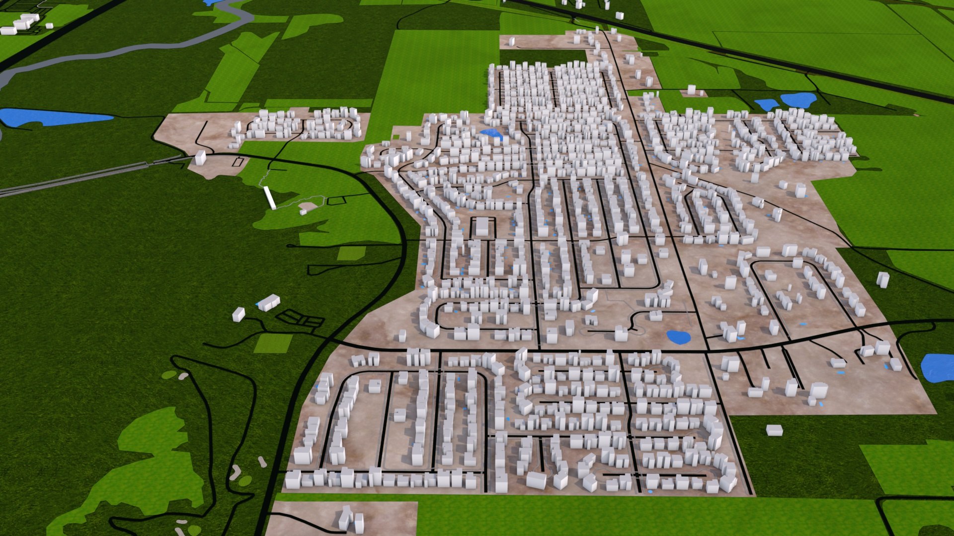
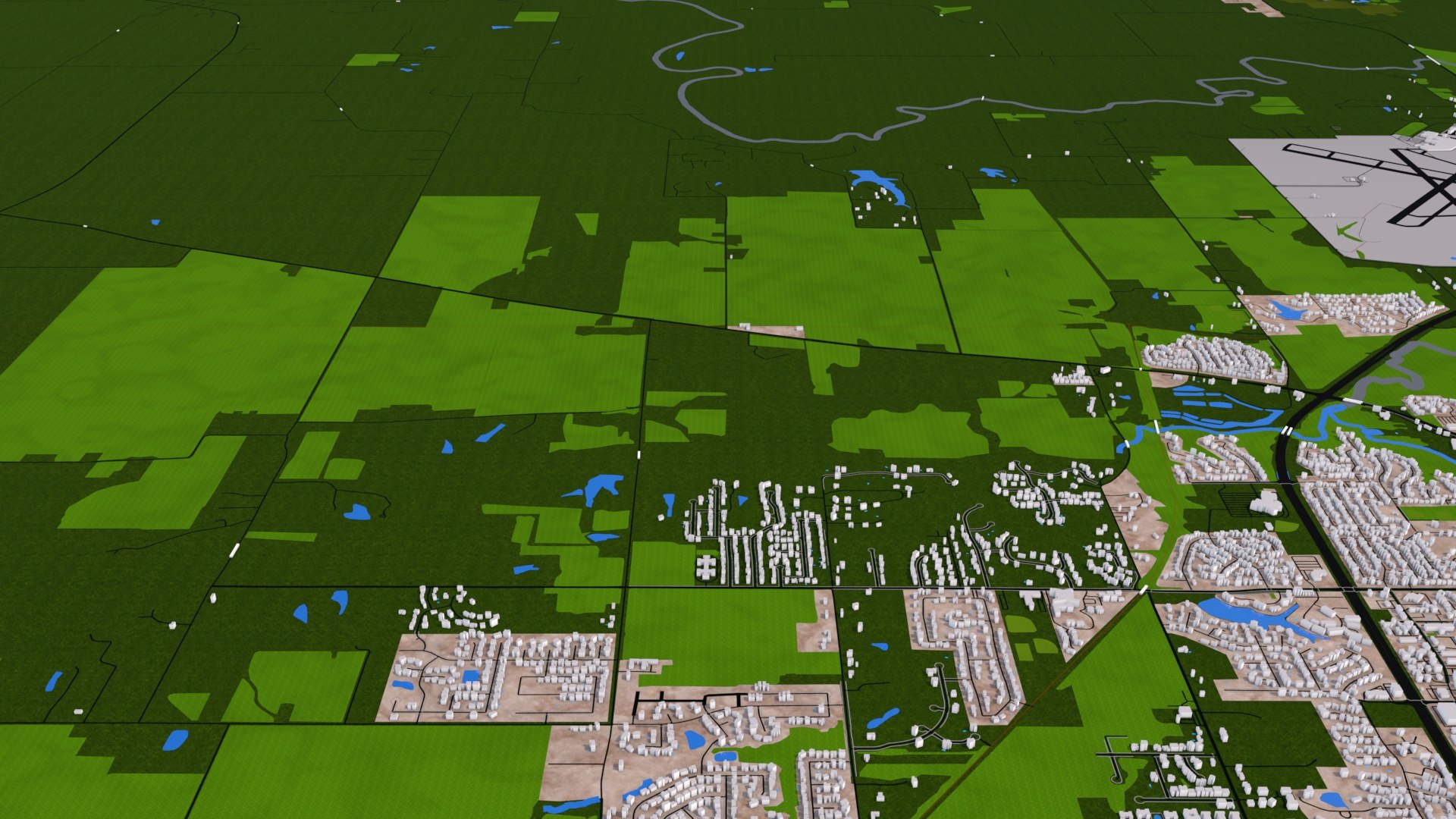
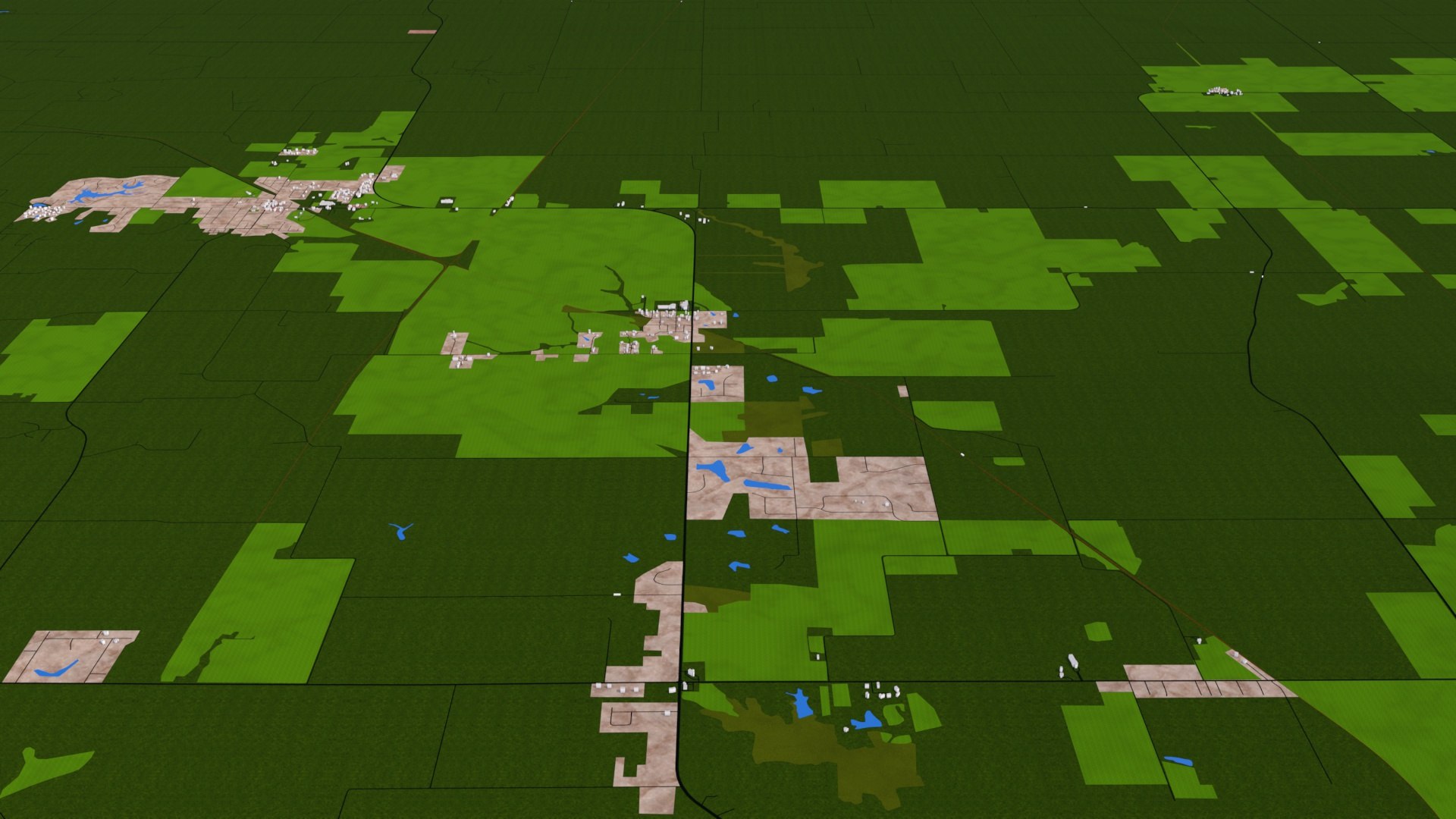
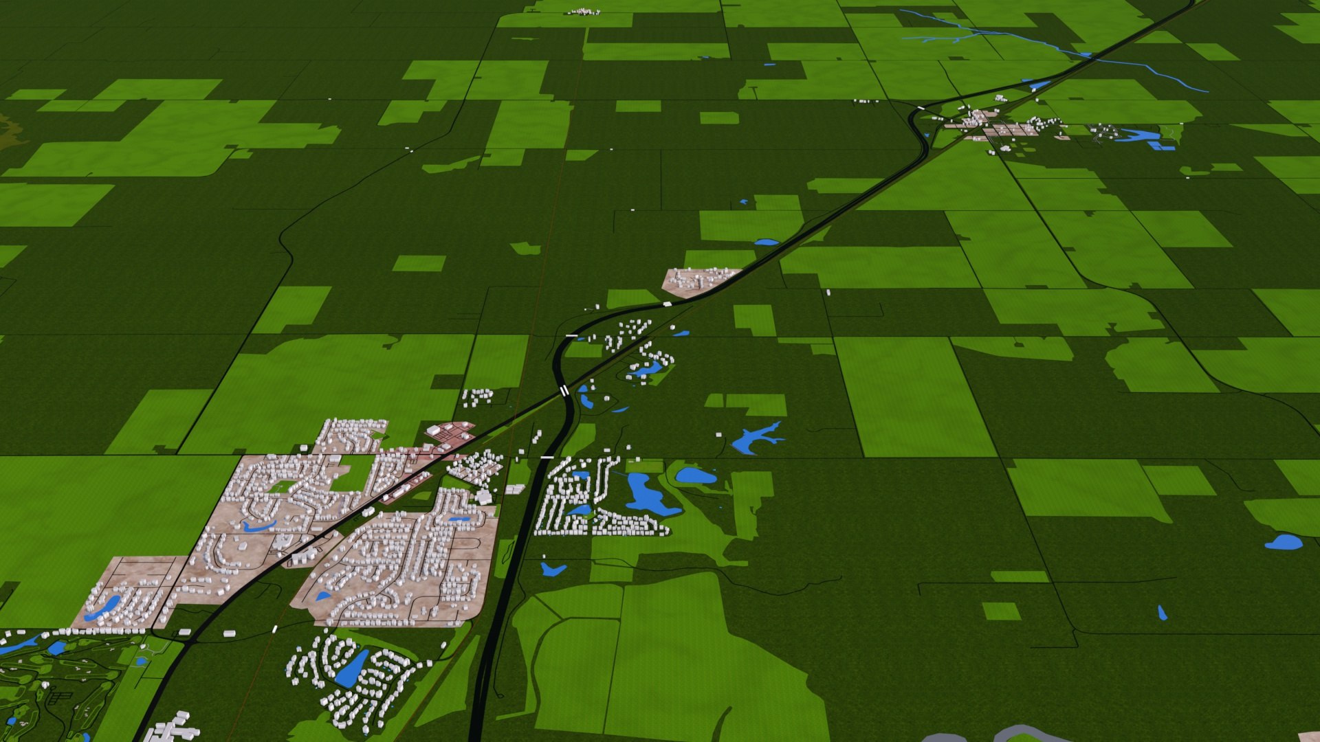
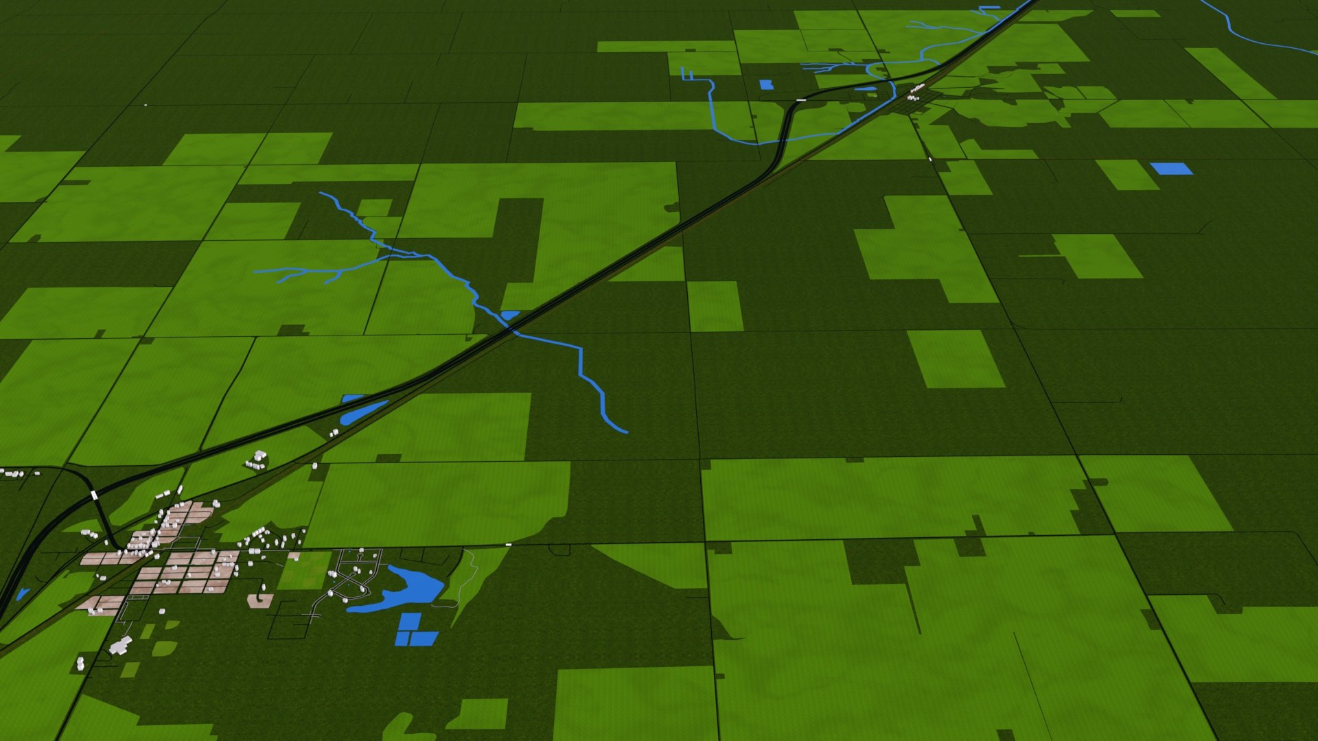
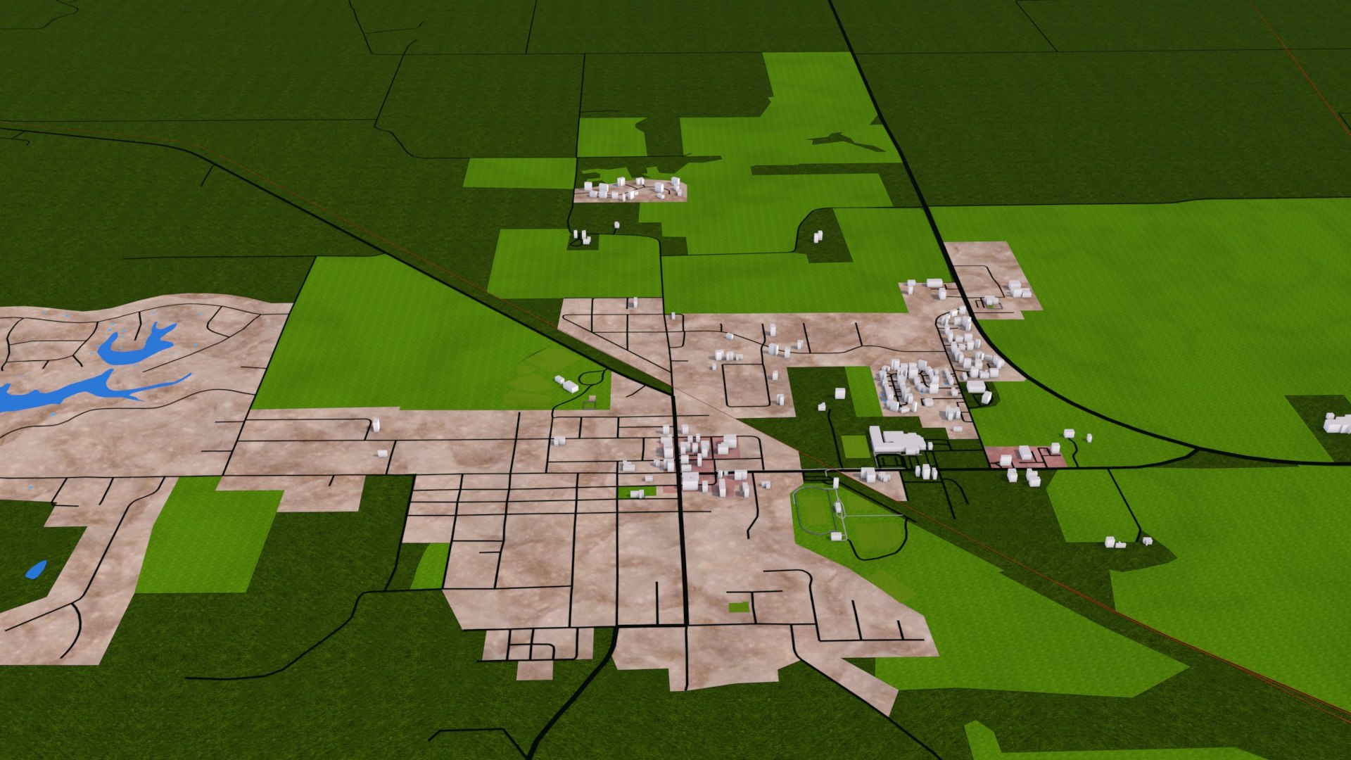
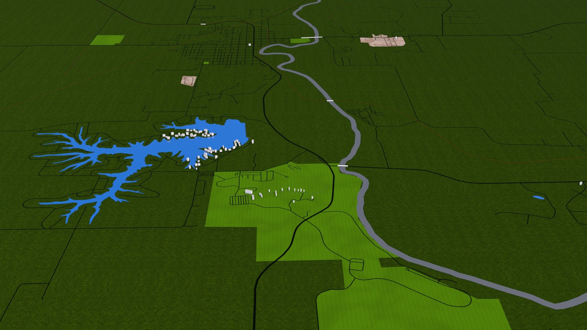
3d representation of Springfield city using March 2020 map data.
Clean scene with properly grouped elements. All objects are properly arranged and added with proper name and materials. For user convenience the scene has proper hierarchy with layers, materials and groups.
Please note that there may be missing buildings because no such real world data available in the repository.
Buildings are extracted from real world data. There are random buildings added to some areas where real world data is partially available (missing height details).
Roads-Motorway,link,trunk,primary,secondary,tertiary,residential,aeroway,pedestrian,unclassified
River
Stream
Areas- building, car parking,park,playground, grass, farm yard, grave yard, forest, village green, water,aerodrome (air port),glacier, allotment,academic, meadow, nature reserve, military, garden, pitch, stadium,retail land, industrial land, commercial area, residential area, orchard, farm land, quarry
You can easily hide any layer/groups for better visualization.
Due to small size and minimum details this scene can be easily loaded.
Materials can easily be changed and altered.
Adding texture is easy, thanks to unique materials for each sections.
C4d file contains fully editable objects(you can control road, rail width). For other 3d applications you can use fbx,obj,dae,3ds formats (which is poly) and import or merge dxf or alembic format on top of it. Dxf and alembic file contains all the curve data which is useful for recreating road and rail or adding traffic.
dxf and abc format are 2d design only. All others are 3d polygon scenes. Only c4d file is in nurbs.
Map data :OpenStreetMap contributors
3d scene scale : 1/1
Scene unit: cm
Before purchasing thoroughly check the accompanying images.
No elevation data. Bridges provided are place holder mesh. Height and shapes vary in real world Building heights are identical to real world where such data exist. Else randomly extruded Building shapes are roughly obtained due to lack of data Cross bridges and under passages can be defined using the bridge data provided Tree and vegetation is not included. However you can easily populate trees and plants using the data provided. Renders will be identical only in C4d due to procedural textures, kindly reassign specific material with in your 3d application.