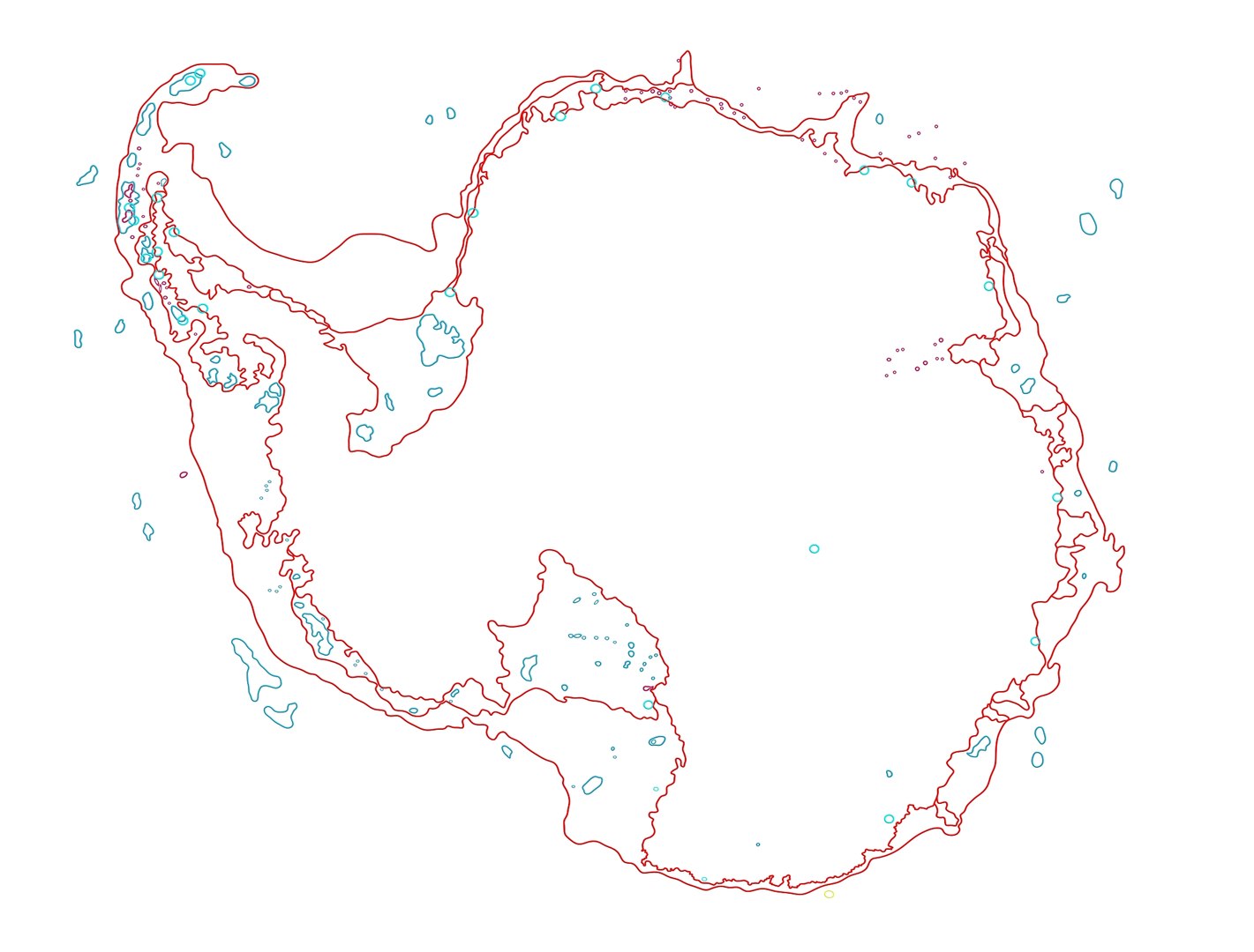
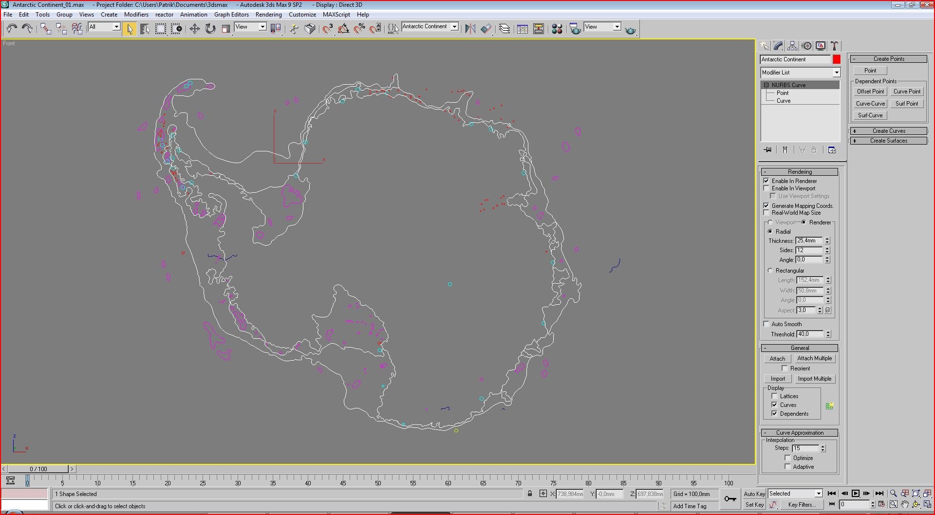
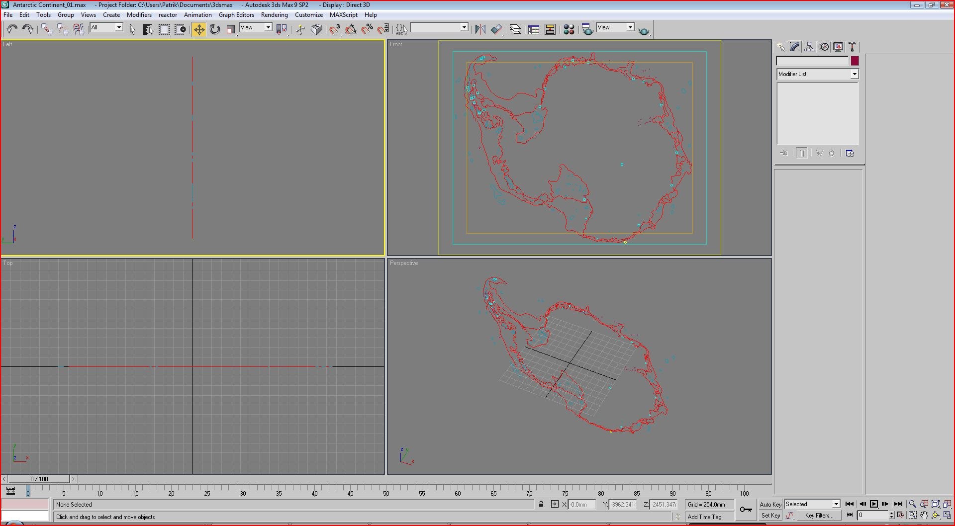
ANTARCTIC CONTINENT from :
DETAILED MAP OF THE WORLD : NURBS curves
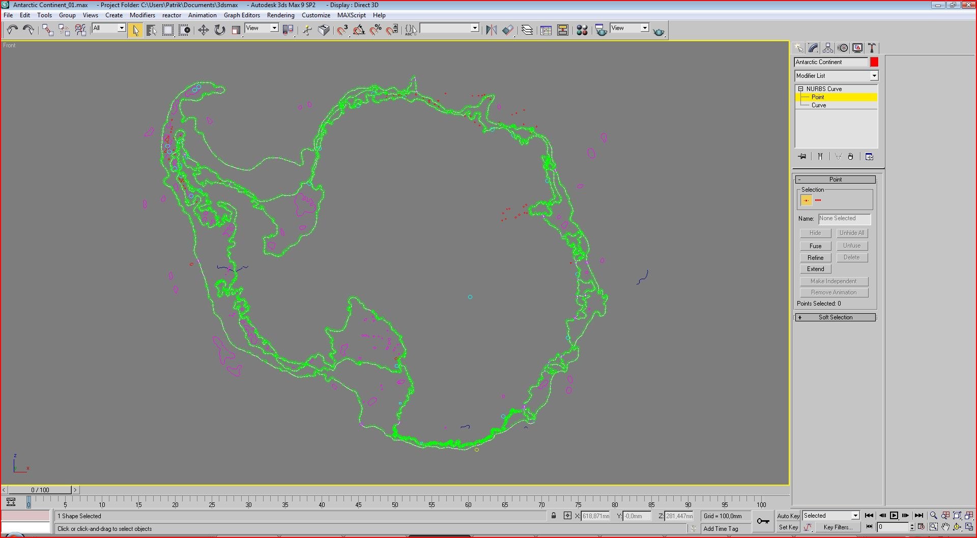
- All NURBS are editable curves (and portraying)
- Unique names for all objects and groups (names of cities, large islands and the Great Lakes are real. Small lakes and islands defined only by
region and incrementally numbered)
- Interactive targets are divided into logical groups
- Created and named selections: water and lakes, glaciers, coastline, islands and islets, cities and polar stations, north and south magnetic
pole, etc..
- Curves can be in very good resolution in the projected area of ??10 x 7 meters (11.2 in Imperial yards x 7.8 yards) - maybe more
- A map can be used for printing or cutting on a plotter. "Ai" and "eps" formats (coastlines), see the "zip" as well - are in a compatible
format for Illustrator 10
- You can buy one continent or the whole map. The whole map you save more than $ 100!
For your idea I will give some technical data:
AFRICA: file size "max" (not transferred to objects NURBS curves!): 21 MB, the number of lakes: 193, number of cities: 164, 257 number of
islands
ANTARCTIC: file size "max" (not transferred to objects NURBS curves!): 15 MB, the number of glaciers: 90, number of polar stations: 26, number
of islands: 69
Australia and Oceania: file size "max" (not transferred to objects NURBS curves!): 55 MB, the number of lakes: 152, number of cities: 99,
number of islands: 955
ASIA: file size "max" (not transferred to objects NURBS curves!): 55 MB, the number of lakes: 438, number of cities: 146, number of islands:
521
EURASIA: file size "max" (not transferred to objects NURBS curves!): 125 MB, the number of lakes and glaciers: 759, number of cities: 426,
number of islands: 1168
EUROPA: file size "max" (not transferred to objects NURBS curves!): 84 MB, the number of lakes and glaciers: 411, number of cities: 296, number
of islands: 689
GREENLAND: file size "max" (not transferred to objects NURBS curves!): 19 MB, the number of lakes: 12, number of cities and polar stations: 18,
number of islands: 55
SOUTH AMERICA: file size "max" (not transferred to objects NURBS curves!): 32 MB, the number of lakes: 94, number of cities: 203, number of
islands: 314
NORTH AMERICA: file size "max" (inot transferred to objects NURBS curves!): 107 MB, the number of lakes: 907, number of cities: 221, number of
islands: 699
SOUTH AND NORTH AMERICA: file size "max" (not transferred to objects NURBS curves!): 131 MB, the number of lakes: 987, the number of cities:
414, number of islands: 971
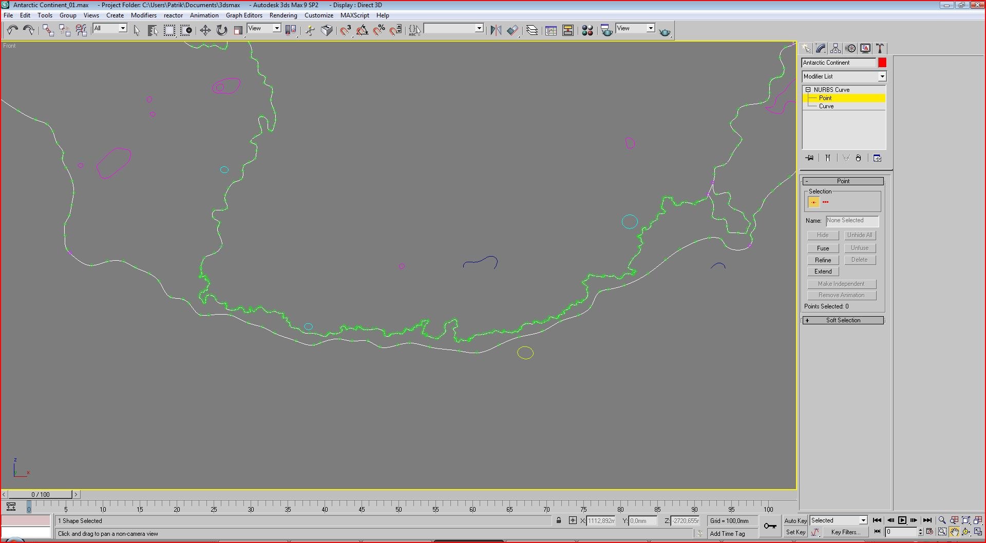
- In all the individual files you can find the green lines (the neighboring coasts) for easy assembly across the world map
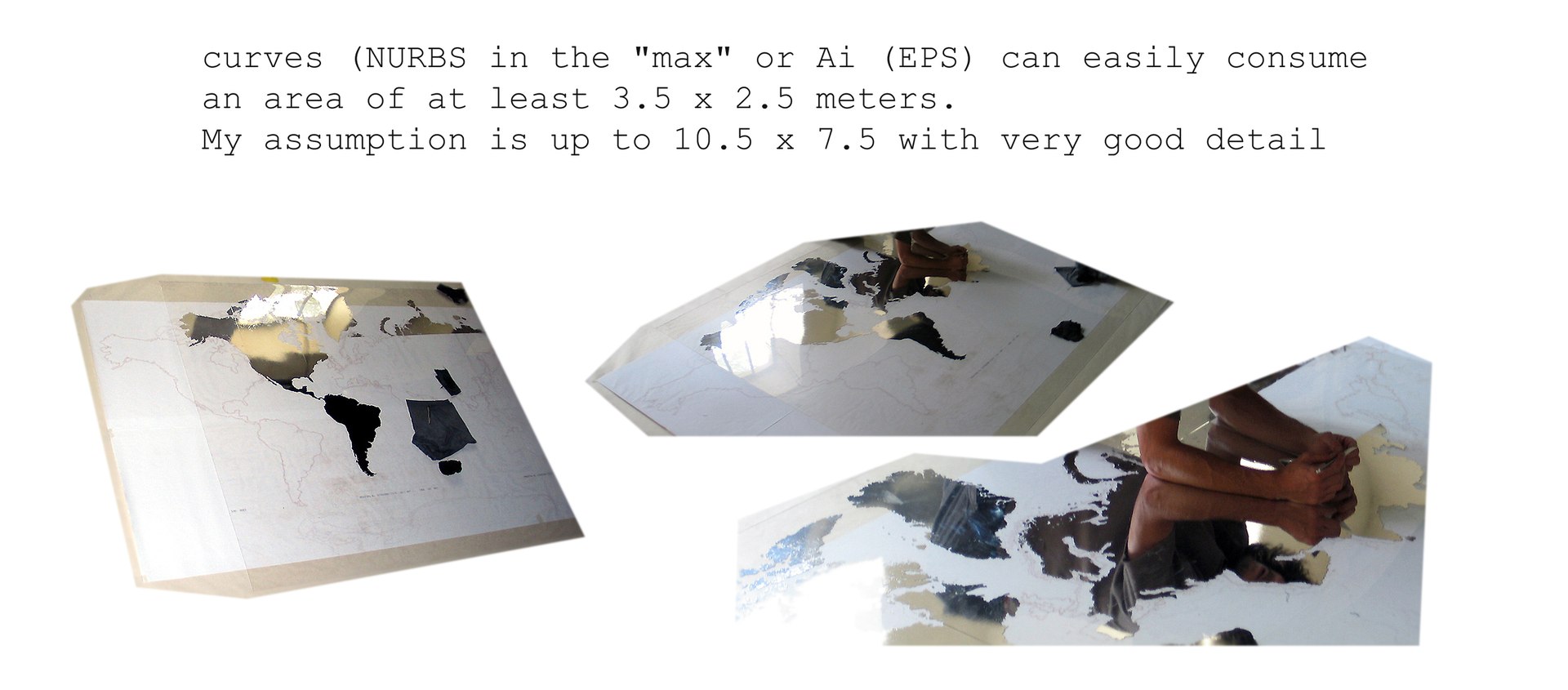
- The last picture in the "thumbnails" you can see how the map looked like in practice. I used to cut on the plotter "ai" files transferred
from the renders 4000 x 4000 pixels. I glued the continents of the mirror film on plexi-glass with dimensions 3.5 x 2.5 meters - and was very
detailed (maybe too much!). In the case of conversion from a larger render, would not even 3 times larger format problem.
PROMO-DOWNLOAD:
- I broke off a large world map MADAGASCAR island and offer it to you to download and explore free.
- Is neither in better nor worse in quality than the rest of the map (only a tiny segment)
- All files you find in promo "zip or rar" you will find in other "zip or rar"
- In the "promotional download 2" you can also download images from the "Thumbnails" in full resolution ("zip" file)